- Elevation
- 34 m
- above sea level
- Local time
- UTC+00:00
- Europe/London · UTC+00:00
- Places inside
- 4
- listed under Hordle
- Airports
- BOH Bournemouth Airport17 km
- SOU Southampton Airport27 km
About Hordle
Hordle is a village. Location: New Forest, Hampshire. Elevation: 34 m. The best months to visit are June–August. The nearest airport is Bournemouth Airport (17 km). Nearby sights include Lymington River and Fort Victoria.
Climate of Hordle
Best months for sightseeingBest months for sightseeing: June–August.
This month · November
A cold month
Day 11° · Night 5° · Rain 89 mm
- Hottest month
- July (day 21°)
- Coldest month
- February (night 2°)
- Wettest month
- November (89 mm)
- Driest month
- July (38 mm)
Bars: average monthly low and high temperature. Below: precipitation. Monthly averages for 1970–2000 at about 18 km resolution, adjusted for elevation. Highlighted months are mild and relatively dry. Source: WorldClim 2.1 (CC BY 4.0).
Show values as a table
| Month | Jan | Feb | Mar | Apr | May | Jun | Jul | Aug | Sep | Oct | Nov | Dec |
|---|---|---|---|---|---|---|---|---|---|---|---|---|
| Average high (°C) | 8° | 8° | 10° | 12° | 16° | 19° | 21° | 21° | 18° | 15° | 11° | 9° |
| Average low (°C) | 3° | 2° | 3° | 5° | 8° | 10° | 13° | 13° | 11° | 8° | 5° | 4° |
| Precipitation (mm) | 86 | 60 | 63 | 47 | 46 | 54 | 38 | 52 | 67 | 82 | 89 | 87 |
How to get to Hordle
The nearest airport is Bournemouth Airport (BOH), 17 km to the west as the crow flies. For international flights: Bristol Airport (BRS) (104 km). The nearest large city is Bournemouth, 20 km to the west.
Airports
- Bournemouth Airport (BOH) Bournemouth 17 kmwest
- Southampton Airport (SOU) Southampton 27 kmnortheast
- Bristol Airport (BRS) Bristol 104 kmnorthwest
Nearby large cities
- Bournemouth Population: 163.6K 20 kmwest
- Southampton Population: 269.8K 21 kmnortheast
- Poole Population: 151.5K 27 kmwest
- Portsmouth Population: 208.1K 36 kmeast
- Basingstoke Population: 107.6K 66 kmnortheast
Straight-line distances; road distances are longer. Airport data: OurAirports.
Day trips from Hordle
Within 100 km: 289 historic and cultural sites, 637 natural sites, 125 lakes, rivers and coasts.
0–25 km84 places
- Isle of Wight Island 24 kmE
- Avon Beach Beach 10 kmW
- Calshot Beach Beach 21 kmE
- Gull Island Island 16 kmE
25–60 km365 places
- Portsea Island Natural site 38 kmE
- Brownsea Island Island 27 kmW
- Studland Beach Beach 26 kmSW
- Man O'War Beach Beach 50 kmW
60–100 km602 places
- St Nicholas Church Shoreham Attraction 93 kmE
- The Marlipins Museum Museum 94 kmE
- Chesil Beach Beach 70 kmW
- Charmouth Beach Beach 91 kmW
Straight-line distances.
Places in Hordle
4 placesNearby attractions & nature
Everything nearby-
Lymington River River, England5.2 km E
-
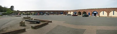 Fort Victoria Historic site, Freshwater8.5 km SE
-
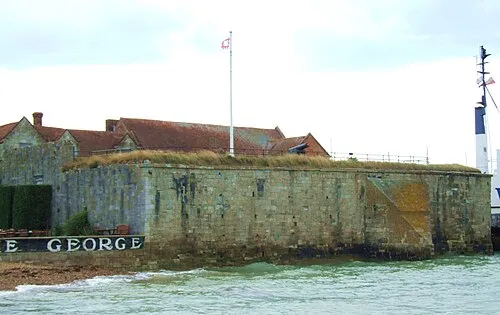 Yarmouth Castle Historic site, Yarmouth9.6 km SE
-
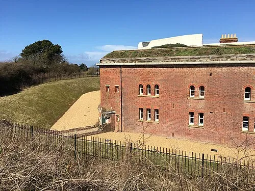 Golden Hill Fort Historic site, Freshwater10 km SE
-
Hurst Castle Historic site, Milford-on-Sea7.2 km SE
-
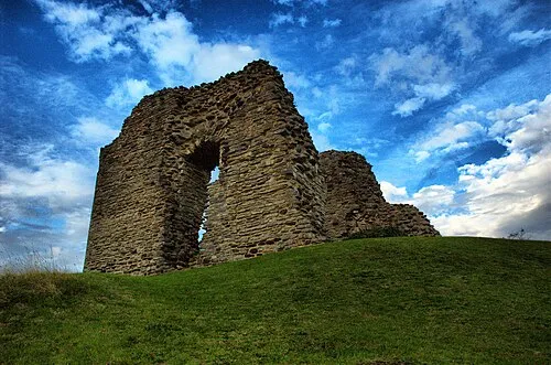 Christchurch Castle Historic site, Christchurch District12 km W
Sources & licences
Data last updated: