- Population
- 14,858
- 14.9K
- Elevation
- 1 m
- above sea level
- Local time
- UTC+00:00
- Europe/London · UTC+00:00
- Airports
- BOH Bournemouth Airport21 km
- SOU Southampton Airport25 km
About Lymington
Lymington is a town. Location: Lymington and Pennington, New Forest. Population: 14,858. Elevation: 1 m.
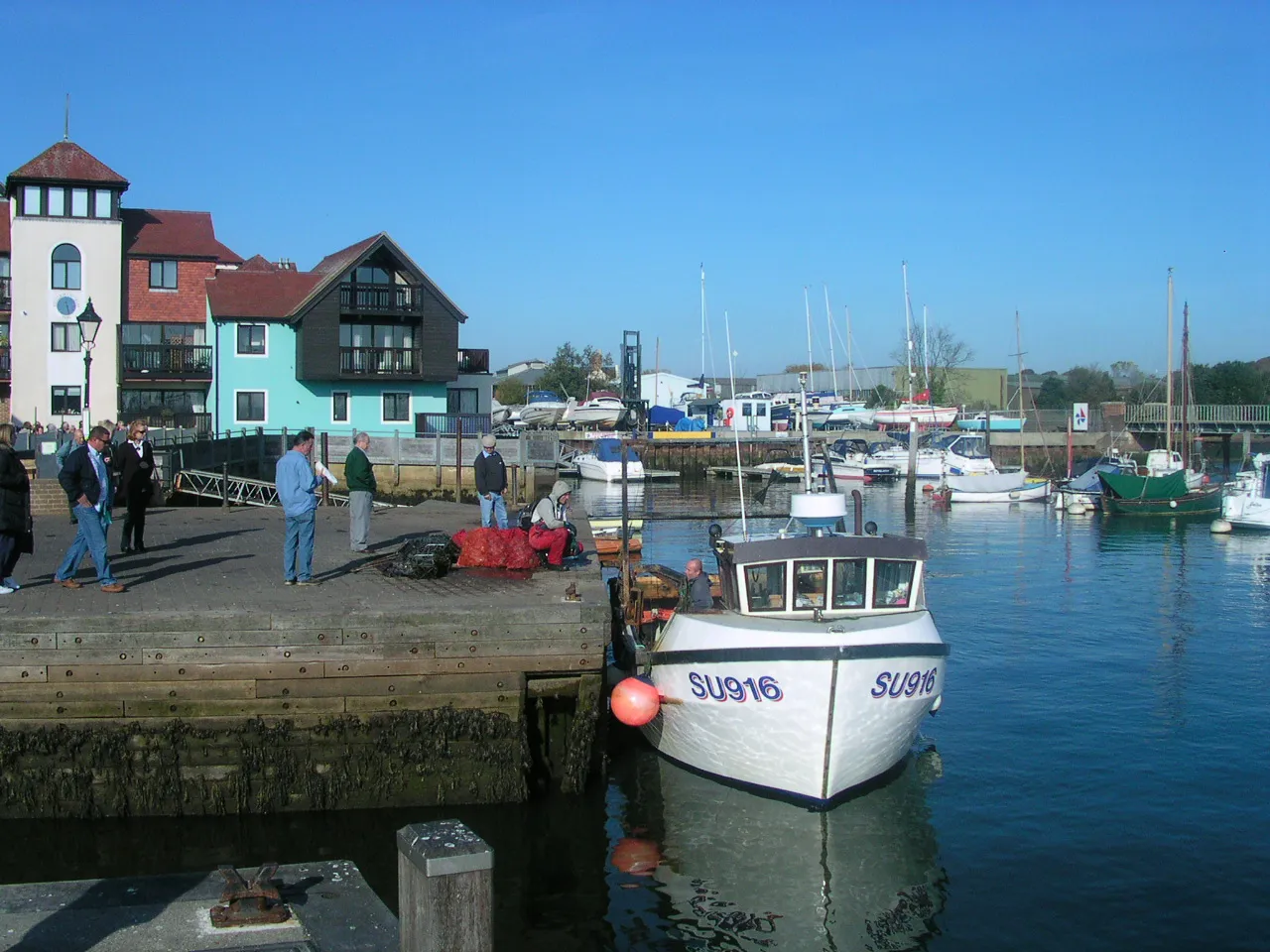
Lymington is a port town on the west bank of the Lymington River on the Solent, in the New Forest district of Hampshire, England. The town faces Yarmouth, Isle of Wight, to which there is a car ferry service operated by Wightlink. It is within the civil parish of Lymington and Pennington. The town has a large tourist industry, based on proximity to the New Forest and its harbour. It is a major yachting centre with three marinas. In 2021 it had a population of 14,858.
Source: Wikipedia · CC BY-SA 4.0
Photos of Lymington
-

Alan Hughes · CC BY-SA 2.0 -

Stuart Logan · CC BY-SA 2.0 -

Steve Daniels · CC BY-SA 2.0 -
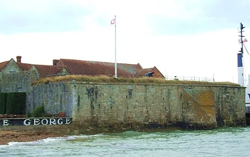
Yarmouth Castle Christophe.Finot · CC BY-SA 2.5 -
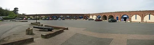
Fort Victoria Ranger Steve · Public domain


Travel notes for Lymington
From Wikivoyage
Lymington is a small port in Hampshire in the South East of England. It is adjacent to the New Forest and faces across the Solent to the western end of the Isle of Wight.
Lymington is a major yachting centre, with several yacht clubs and a large marina, as well as a ferry port serving Yarmouth on the Isle of Wight.
Historically, Lymington was a centre of the salt-drying industry, where salt water was admitted to shallow lagoons and dried out. These abandoned lagoons (called saltings) have now become major sea bird reserves, and the area attracts ornithologists.
Get in+
By train:
Lymington is the terminus of a branch rail line from Brockenhurst in the New Forest, where it connects with direct main line service from London Waterloo and many other parts of the country. Train times can be found on the National Rail Planner or by calling ☏ 0345 748 4950 (domestic)Country code missing from anywhere in the UK.
There are two stations in Lymington:
1 Lymington Town train station. Lymington Town best serves the central area and marinas. (updated Oct 2023)
2 Lymington Pier train station. Lymington Pier is part of the ferry terminal complex. (updated Oct 2023)
By car:
By road, Lymington can be approached from the west along the coast road (the A337 from Bournemouth. Any other direction requires a crossing of the New Forest with its sometimes congested roads. There are two alternatives; take the M27 to junction 1 and then the A337 through Lyndhurst and Brockenhurst, or leave the M27 at junction 2 and follow the A326 to Dibden Purlieu and then the B3054 through Beaulieu.
By ferry:
Lymnington ferry terminal. Lymington is linked to Yarmouth on the Isle of Wight by the Wightlink car and passenger ferry which runs every half-hour. (updated Oct 2023)
By bus:
A few bus services connect to Lymington: the three main services are the X1/X2 (operated by Morebus) which go to Bournemouth and the 6 (operated by Bluestar) which goes to Southampton. All three are quite long journeys end to end, the 6 takes around 1 hour and 20 minutes, while the X1/X2 takes around 1 hour 50 minutes to reach Bournemouth. You can buy an Explorer ticket costing £8.60 for one day, which will be valid for both services, (the companies have the same owner). A few less frequent bus services also start/terminate in Lymington -- the two-day-a-week 112 to Hythe and the Monday to Friday 119 to New Milton.
Source: Wikivoyage · CC BY-SA 4.0 · abridged
Twin towns and sister cities of Lymington
- Almansa· Spain
Source: Wikidata. Only places with a page on this site are shown.
Climate of Lymington
Best months for sightseeingBest months for sightseeing: June–August.
This month · November
A cold month
Day 11° · Night 5° · Rain 89 mm
- Hottest month
- July (day 21°)
- Coldest month
- February (night 2°)
- Wettest month
- November (89 mm)
- Driest month
- July (38 mm)
Bars: average monthly low and high temperature. Below: precipitation. Monthly averages for 1970–2000 at about 18 km resolution, adjusted for elevation. Highlighted months are mild and relatively dry. Source: WorldClim 2.1 (CC BY 4.0).
Show values as a table
| Month | Jan | Feb | Mar | Apr | May | Jun | Jul | Aug | Sep | Oct | Nov | Dec |
|---|---|---|---|---|---|---|---|---|---|---|---|---|
| Average high (°C) | 8° | 8° | 10° | 13° | 16° | 19° | 21° | 21° | 18° | 15° | 11° | 9° |
| Average low (°C) | 3° | 2° | 4° | 5° | 8° | 11° | 13° | 13° | 11° | 8° | 5° | 4° |
| Precipitation (mm) | 86 | 60 | 63 | 47 | 46 | 54 | 38 | 52 | 67 | 82 | 89 | 87 |
How to get to Lymington
The nearest airport is Bournemouth Airport (BOH), 21 km to the west as the crow flies. For international flights: London Gatwick Airport (LGW) (104 km). The nearest large city is Southampton, 19 km to the northeast.
Airports
- Bournemouth Airport (BOH) Bournemouth 21 kmwest
- Southampton Airport (SOU) Southampton 25 kmnortheast
- London Gatwick Airport (LGW) London 104 kmnortheast
Nearby large cities
- Southampton Population: 269.8K 19 kmnortheast
- Bournemouth Population: 163.6K 24 kmwest
- Portsmouth Population: 208.1K 32 kmeast
- Poole Population: 151.5K 32 kmwest
- Basingstoke Population: 107.6K 64 kmnortheast
Straight-line distances; road distances are longer. Airport data: OurAirports.
Day trips from Lymington
Within 100 km: 283 historic and cultural sites, 638 natural sites, 127 lakes, rivers and coasts.
0–25 km91 places
- Isle of Wight Island 20 kmSE
- Avon Beach Beach 14 kmW
- Calshot Beach Beach 17 kmE
- Gull Island Island 11 kmE
25–60 km363 places
- Portsea Island Natural site 34 kmE
- Brownsea Island Island 31 kmW
- Studland Beach Beach 31 kmW
- Man O'War Beach Beach 54 kmW
60–100 km594 places
- St Nicholas Church Shoreham Attraction 89 kmE
- The Marlipins Museum Museum 89 kmE
- Chesil Beach Beach 74 kmW
- Charmouth Beach Beach 96 kmW
Straight-line distances.
Nearby attractions & nature
Everything nearby-
Lymington River River, England1.1 km S
-
Fort Victoria Historic site, Freshwater6 km S
-
Yarmouth Castle Historic site, Yarmouth6.4 km SE
-
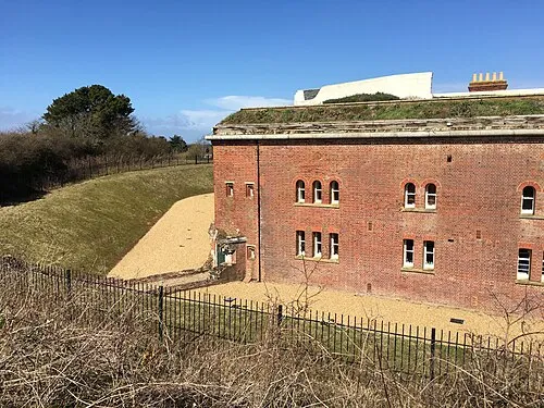 Golden Hill Fort Historic site, Freshwater7.9 km S
-
Hurst Castle Historic site, Milford-on-Sea5.9 km S
-
Colwell Bay Natural site, England7.2 km S
-
Golden Hill Mountain, Freshwater7.9 km S
-
Cranmore Hill Mountain, Shalfleet7.9 km SE
Sources & licences
Data last updated: · 2 independent sources