Havengore Island
Located in England, United Kingdom Coordinates: 51°34′00″ N 0°51′00″ E
- Elevation
- 0 m
- above sea level
- Local time
- UTC+00:00
- Europe/London · UTC+00:00
About Havengore Island
Havengore Island is an island. Location: England, United Kingdom.
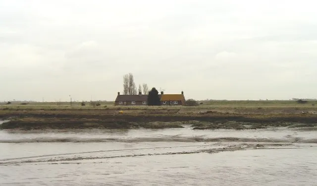
Havengore Island is a low-lying, marshy island in the civil parish of Foulness, in the Rochford district of the county of Essex, England. It is bounded by New England Creek to the north, Havengore Creek to the south west, the Middleway to the north west, with the North Sea to the south and east. Access to the island is restricted by the Ministry of Defence. An Ordnance Survey map of 1880 shows a private ferry across Havengore Creek, linking the island to the mainland near to where Havengore Bridge now stands.
Read more on Wikipedia Text: Wikipedia contributors · CC BY-SA 4.0 · shortened
In comparison
- 10 sights and natural places within 10 km New England Island, Rushley Island
Nearest towns and villages
-
Rochford Municipality, Essex3 km NW
-
Great Wakering Town, Great Wakering3.6 km SW
-
Samuel's Corner Neighbourhood, Great Wakering2.6 km SW
-
Great Wakering Village, Rochford3.3 km SW
-
Barling Magna Village, Rochford3.8 km W
-
Cupid's Corner Neighbourhood, Great Wakering3.5 km SW
Nearby attractions & nature
Everything nearby-
New England Island Island, Foulness0.8 km NE
-
Rushley Island Island, Great Wakering1.3 km W
-
 Potton Island Island, England3 km NW
-
Wallasea Island Island, England3.9 km N
-
River Roach River, England3.9 km N
-
Foulness Island Island, England3.9 km NE
-
Pig's Bay Natural site, Southend-on-Sea4.1 km SW
-
River Crouch River, England6 km N
Sources & licences
Data last updated: · 2 independent sources