Wallasea Island
Located in England, United Kingdom Coordinates: 51°36′00″ N 0°50′00″ E
- Elevation
- -1 m
- above sea level
- Local time
- UTC+00:00
- Europe/London · UTC+00:00
About Wallasea Island
Wallasea Island is an island. Location: England, United Kingdom.
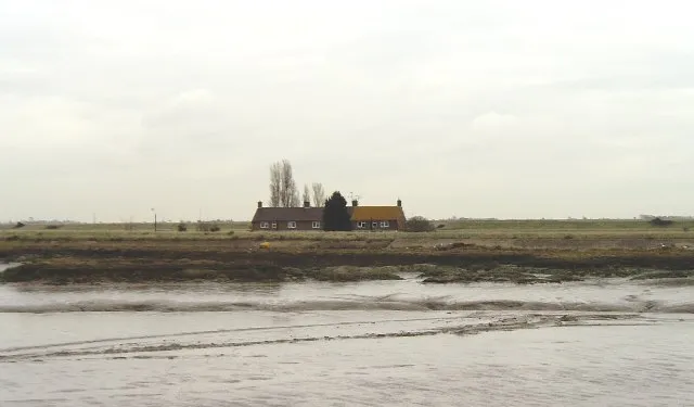
Wallasea Island lies in Essex, England. It is bounded to the north by the River Crouch, to the south east by the River Roach, and to the west by Paglesham Pool and the narrow Paglesham Creek. The population of the island is included in the civil parish of Canewdon. Much of the island is farmland, and wheat is the main crop. A small settlement at its western end is linked by road to the mainland and is home to a campsite and marina. It is linked by a ferry to Burnham-on-Crouch.
Read more on Wikipedia Text: Wikipedia contributors · CC BY-SA 4.0 · shortened
In comparison
- 12 sights and natural places within 10 km Potton Island, River Roach
Nearest towns and villages
-
Rochford Municipality, Essex2.2 km SW
-
Burnham-on-Crouch Town, Burnham-on-Crouch3.9 km N
-
Great Wakering Town, Great Wakering5.7 km S
-
Paglesham Village, Rochford3.1 km W
-
Barling Magna Village, Rochford3.6 km SW
-
Paglesham Eastend Village, Paglesham2 km W
Nearby attractions & nature
Everything nearby-
 Potton Island Island, England2.2 km SW
-
River Roach River, England2.3 km E
-
Havengore Island Island, England3.9 km S
-
New England Island Island, Foulness3.7 km SE
-
Rushley Island Island, Great Wakering3.8 km S
-
River Crouch River, England3.9 km NE
-
Foulness Island Island, England5 km E
-
Bridgemarsh Island Island, England6.9 km NW
Sources & licences
Data last updated: · 2 independent sources