Snodhill Castle
Located in Peterchurch, Herefordshire Coordinates: 52°03′27″ N 2°59′25″ W
- Local time
- UTC+00:00
- Europe/London · UTC+00:00
- Elevation
- 186 m
- above sea level
- Airports
- CWL Cardiff International Airport77 km
- BRS Bristol Airport77 km
About Snodhill Castle
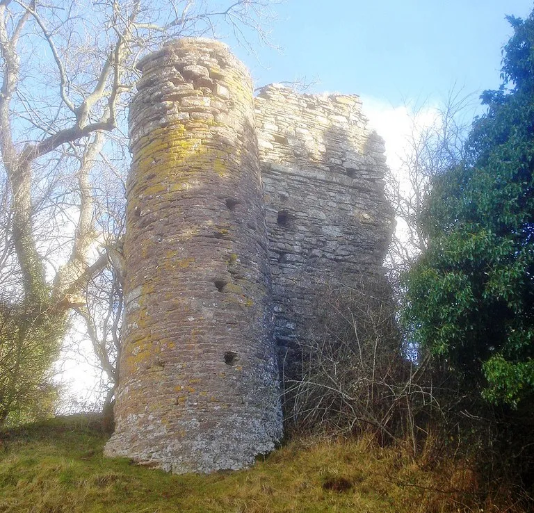
Snodhill Castle is a historic site. Location: Peterchurch, Herefordshire.
Snodhill Castle is a ruined motte-and-bailey castle, about 1 mi (1.6 km) south of the village of Dorstone in west Herefordshire, England. It is recognized as one of the major castles of the Welsh Marches. It was built in the 11th century to secure the border between Norman England and the Welsh Princes. Archaeological excavations show that it was one of the first Norman castles in England to have stone-built fortifications, with more sophisticated defences being added in later centuries.
Source: Wikipedia · CC BY-SA 4.0
At a glance
- Heritage designation
- Grade II* listed building, scheduled monument
Source: Wikidata
Photos of Snodhill Castle
-

Elendil1066 · CC BY-SA 4.0 -

Elendil1066 · CC BY-SA 4.0 -

Fabian Musto · CC BY-SA 2.0 -

Fabian Musto · CC BY-SA 2.0 -
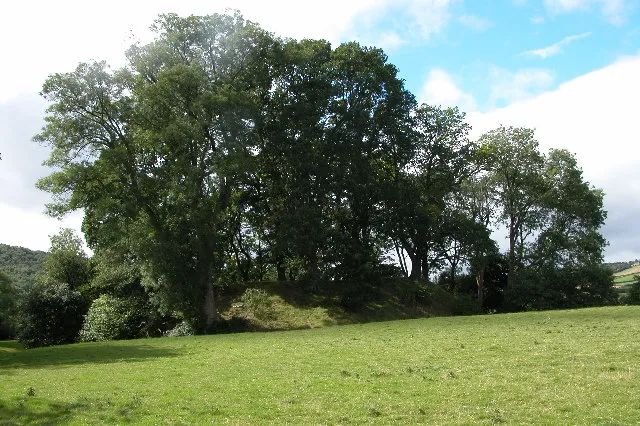
Dorstone Castle Philip Halling · CC BY-SA 2.0


Climate of Snodhill Castle
Best months for sightseeingBest months for sightseeing: June–August.
This month · November
A cold month
Day 9° · Night 3° · Rain 79 mm
- Hottest month
- July (day 21°)
- Coldest month
- February (night 1°)
- Wettest month
- January (92 mm)
- Driest month
- July (45 mm)
Bars: average monthly low and high temperature. Below: precipitation. Monthly averages for 1970–2000 at about 18 km resolution, adjusted for elevation. Highlighted months are mild and relatively dry. Source: WorldClim 2.1 (CC BY 4.0).
Show values as a table
| Month | Jan | Feb | Mar | Apr | May | Jun | Jul | Aug | Sep | Oct | Nov | Dec |
|---|---|---|---|---|---|---|---|---|---|---|---|---|
| Average high (°C) | 6° | 6° | 9° | 12° | 15° | 18° | 21° | 20° | 17° | 13° | 9° | 7° |
| Average low (°C) | 1° | 1° | 2° | 3° | 6° | 9° | 11° | 11° | 9° | 6° | 3° | 2° |
| Precipitation (mm) | 92 | 64 | 66 | 55 | 54 | 60 | 45 | 64 | 72 | 76 | 79 | 89 |
How to get to Snodhill Castle
The nearest airport is Cardiff International Airport (CWL), 77 km to the south as the crow flies. The nearest large city is Newport, 52 km to the south.
Airports
- Cardiff International Airport (CWL) Cardiff 77 kmsouth
- Bristol Airport (BRS) Bristol 77 kmsouth
- Birmingham Airport (BHX) Birmingham, West Midlands 96 kmnortheast
Nearby large cities
- Newport Population: 161.5K 52 kmsouth
- Worcester Population: 101.7K 55 kmeast
- Gloucester Population: 132.4K 56 kmeast
- Cheltenham Population: 118.8K 65 kmeast
- Cardiff Population: 372.1K 66 kmsouth
Straight-line distances; road distances are longer. Airport data: OurAirports.
Day trips from Snodhill Castle
Within 100 km: 1,048 historic and cultural sites, 2,373 natural sites, 162 lakes, rivers and coasts.
0–25 km312 places
- Llangorse Lake Lake 23 kmSW
- Sugar Loaf Mountain 22 kmS
- Pen y Gader-fawr Mountain 15 kmSW
- Hay Bluff Mountain 9 kmSW
25–60 km1,326 places
- Alney Island Island 55 kmSE
- The Island Island 29 kmNE
- Bevere Island Island 55 kmE
- Pen-y-gareg Reservoir Lake 51 kmNW
60–100 km1,945 places
- Kilve Beach Beach 98 kmS
- Steep Holm Island 80 kmS
- Flat Holm Island 76 kmS
- Barry Island Island 76 kmS
Straight-line distances.
Nearby attractions & nature
Everything nearby-
Snodhill Castle Mountain, Peterchurch0.1 km E
-
Dorstone Castle Historic site, Dorstone1.6 km NW
-
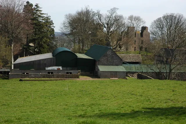 Urishay Castle Historic site, Peterchurch2.8 km S
-
Moccas Castle Historic site, Moccas3.4 km NE
-
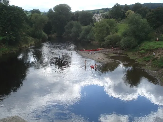 Bredwardine Oldcastle Historic site, Bredwardine4.2 km N
-
Castle Coppice Historic site, Bredwardine3.9 km N
-
Woodbury Hill Mountain, Dorstone2.2 km NE
-
Moccas Hill Mountain, Dorstone2.3 km NE
Nearest towns and villages
-
Dorstone Village, Dorstone1.2 km NW
-
Snodhill Village, Peterchurch0.3 km W
-
Peterchurch Village, Peterchurch2.9 km SE
-
Common Bach Village, Dorstone1.4 km W
Sources & licences
Data last updated: · 2 independent sources