Poston Mill Motte
Located in Vowchurch, Herefordshire Coordinates: 52°01′46″ N 2°56′14″ W
- Local time
- UTC+00:00
- Europe/London · UTC+00:00
- Elevation
- 133 m
- above sea level
- Airports
- BRS Bristol Airport74 km
- CWL Cardiff International Airport76 km
About Poston Mill Motte
Poston Mill Motte is a historic site. Location: Vowchurch, Herefordshire. The best months to visit are June–August. The nearest airport is Bristol Airport (74 km). Nearby sights include Turnastone Motte and Chanstone North Tump.
Photos of Poston Mill Motte
-
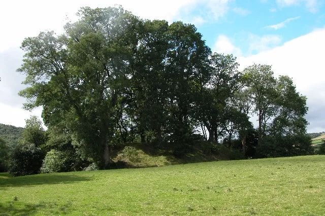
Dorstone Castle Philip Halling · CC BY-SA 2.0 -
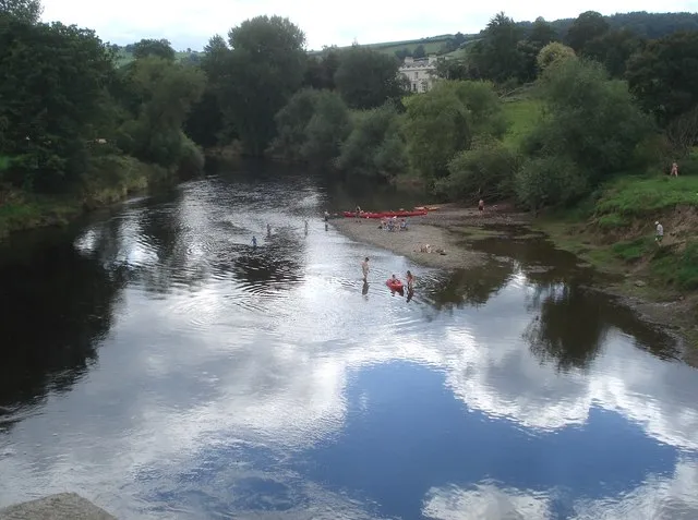
Bredwardine Oldcastle Trevor Rickard · CC BY-SA 2.0 -
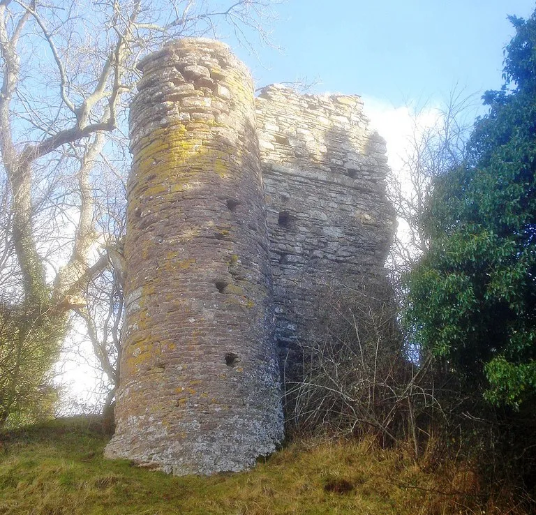
Snodhill Castle original: Trevor Rickard derivative work: Paravane · CC BY-SA 2.0 -
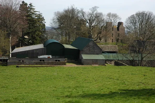
Urishay Castle Philip Halling · CC BY-SA 2.0


Climate of Poston Mill Motte
Best months for sightseeingBest months for sightseeing: June–August.
This month · November
A cold month
Day 10° · Night 4° · Rain 79 mm
- Hottest month
- July (day 21°)
- Coldest month
- February (night 1°)
- Wettest month
- January (92 mm)
- Driest month
- July (45 mm)
Bars: average monthly low and high temperature. Below: precipitation. Monthly averages for 1970–2000 at about 18 km resolution, adjusted for elevation. Highlighted months are mild and relatively dry. Source: WorldClim 2.1 (CC BY 4.0).
Show values as a table
| Month | Jan | Feb | Mar | Apr | May | Jun | Jul | Aug | Sep | Oct | Nov | Dec |
|---|---|---|---|---|---|---|---|---|---|---|---|---|
| Average high (°C) | 7° | 7° | 9° | 12° | 16° | 18° | 21° | 20° | 17° | 13° | 10° | 7° |
| Average low (°C) | 1° | 1° | 2° | 4° | 6° | 9° | 11° | 11° | 9° | 6° | 4° | 2° |
| Precipitation (mm) | 92 | 64 | 66 | 55 | 54 | 60 | 45 | 64 | 72 | 76 | 79 | 89 |
How to get to Poston Mill Motte
The nearest airport is Bristol Airport (BRS), 74 km to the south as the crow flies. The nearest large city is Newport, 49 km to the south.
Airports
- Bristol Airport (BRS) Bristol 74 kmsouth
- Cardiff International Airport (CWL) Cardiff 76 kmsouth
- Birmingham Airport (BHX) Birmingham, West Midlands 94 kmnortheast
Nearby large cities
- Newport Population: 161.5K 49 kmsouth
- Gloucester Population: 132.4K 51 kmeast
- Worcester Population: 101.7K 52 kmeast
- Cheltenham Population: 118.8K 61 kmeast
- Cardiff Population: 372.1K 63 kmsouth
Straight-line distances; road distances are longer. Airport data: OurAirports.
Day trips from Poston Mill Motte
Within 100 km: 1,050 historic and cultural sites, 2,337 natural sites, 153 lakes, rivers and coasts.
0–25 km283 places
- Llangorse Lake Lake 25 kmSW
- Sugar Loaf Mountain 20 kmSW
- Pen y Gader-fawr Mountain 15 kmSW
- Hay Bluff Mountain 11 kmW
25–60 km1,261 places
- Alney Island Island 50 kmE
- Denny Island Island 57 kmS
- The Island Island 30 kmNE
- Bevere Island Island 53 kmNE
60–100 km1,996 places
- Kilve Beach Beach 95 kmS
- Steep Holm Island 78 kmS
- Flat Holm Island 74 kmS
- Barry Island Island 74 kmS
Straight-line distances.
Nearby attractions & nature
Everything nearby-
Turnastone Motte Historic site, Turnastone0.7 km S
-
Chanstone North Tump Historic site, Vowchurch1.5 km SE
-
Chanstone South Tump Historic site, Vowchurch1.6 km SE
-
Cothill Tump Historic site, Turnastone2.2 km SW
-
Monnington Court Historic site, Vowchurch2.5 km E
-
Golden Valley Natural site, Vowchurch1.4 km S
-
Urishay Castle Historic site, Peterchurch3.5 km W
-
Eaton Hill Mountain, Vowchurch2.1 km SE
Nearest towns and villages
-
Peterchurch Village, Peterchurch1.9 km NW
-
Vowchurch Village, Turnastone0.6 km S
-
Turnastone Village, Turnastone1 km SW
-
Turnastone Municipality, Herefordshire1.8 km SW
Sources & licences
Data last updated: