- Population
- 149,017
- 149K
- Elevation
- 90 m
- above sea level
- Local time
- UTC+00:00
- Europe/London · UTC+00:00
- Airports
- LBA Leeds Bradford Airport25 km
- MAN Manchester Airport47 km
About Huddersfield
Huddersfield is a city. Location: Kirkburton, Kirklees. Population: 149,017. Elevation: 90 m.
Huddersfield is a town in the Metropolitan Borough of Kirklees, West Yorkshire, England. It is the administrative centre and largest settlement in the Kirklees district, in the foothills of the Pennines. The River Holme's confluence into the similar-sized Colne is to the south of the town centre, which then flows into the Calder in the north-eastern outskirts of the town.
Source: Wikipedia · CC BY-SA 4.0
At a glance
- Built
- 1086
Source: Wikidata
Photos of Huddersfield
-

Medal1888 · CC0 -

Medal1888 · CC0 -
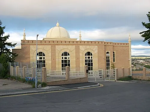
Al-Mahdi Mosque Stephen Armstrong · CC BY-SA 2.0 -
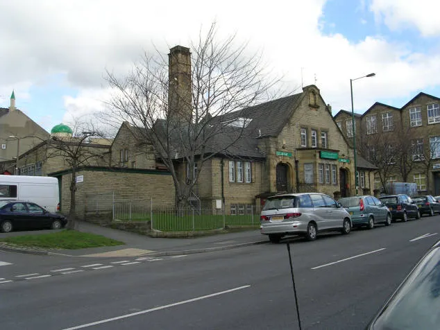
Bait-ul-Hamd Betty Longbottom · CC BY-SA 2.0 -
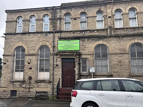
Bait-us-Samad HolyArtThou · CC BY-SA 4.0


Travel notes for Huddersfield
From Wikivoyage
Huddersfield is in the metropolitan borough of Kirklees in West Yorkshire in England. This article covers the town of Huddersfield, and the district around it including the Colne and Holme valleys. Historically a textile town, the area is now re-inventing itself as a residential and tourist centre.
Understand+
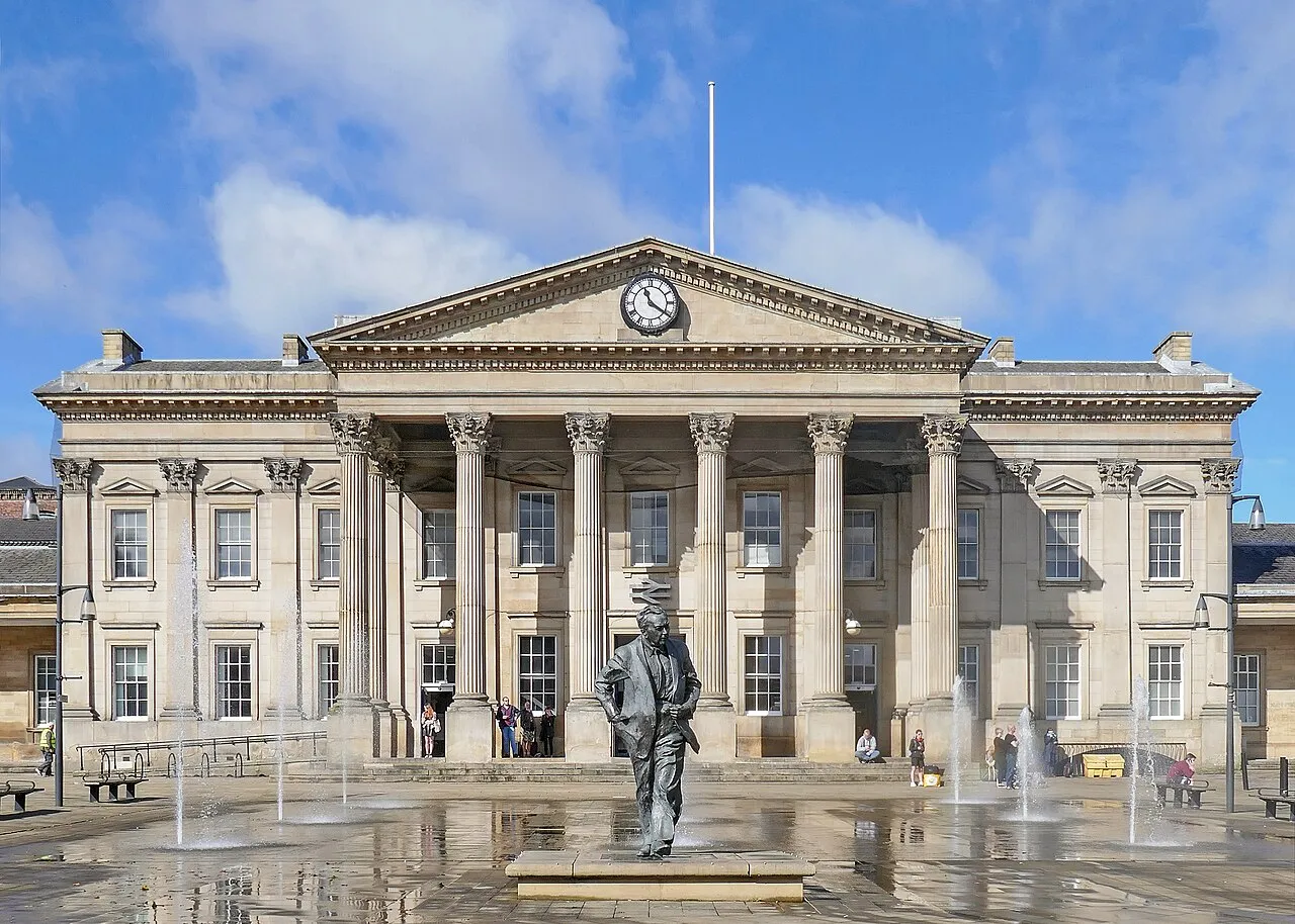
John Betjeman described Huddersfield Railway Station as having 'The finest façade of any such building in the country'. Make up your own mind when you visit as there is no better way to arrive than by train from Manchester or Leeds. Huddersfield has the third largest number of listed buildings in the country after Westminster and Bristol.
In the 1920s Huddersfield Town F.C. became the first football club to win the English League Championship three times in a row, a feat only matched by Arsenal, Liverpool, Manchester City (four times in a row) and Manchester United.
Huddersfield can be considered a university town as the University of Huddersfield, formerly Huddersfield Polytechnic, is one of the town's largest employers and much of the local economy now depends upon it.
Famous connections include former Prime Minister Harold Wilson and actors James Mason and Gordon Kaye.
Get in+
By plane:
Leeds/Bradford International Airport (LBA IATA) is the nearest airport, by road. It can be reached by taking a train to Leeds and then a bus to the airport departing from the train station.
Manchester Airport (MAN IATA) is the easiest and quickest to access. It is the UK's busiest airport, outside London, with many European and inter-continental flights. There is a rail station within the airport complex, with services running through Huddersfield to Newcastle, at least half hourly throughout the day (see by train below).
London Heathrow Airport (LHR IATA) or London Gatwick Airport (LGW IATA). From there, frequent flights operate to Manchester, or you could travel from London to Huddersfield by train (see by train below).
By train:
1 Huddersfield train station. The principal train station is in the town centre and is served by trains to and from Hull, York, Newcastle, Middlesbrough, Leeds, Manchester and Liverpool, as well as local services to Barnsley, Wakefield, Halifax and Sheffield. When passing through, keep an eye out for the station cats Felix and Bolt, who have become internet famous. There are several smaller stations within the Huddersfield area, served only by local trains. (updated Dec 2023)
From London, you can travel from London King's Cross and change at either Wakefield Westgate or Leeds. Or you can use London Euston, and change at Manchester Piccadilly. Alternatively, there are less frequent services operated by Grand Central Rail from London King's Cross where you can change in Wakefield, Mirfield, Brighouse, Halifax and Bradford Interchange.
Train times for these and other journeys can be found on the National Rail Planner or by calling +44 345 748 4950.
By bus:
National Express serves Huddersfield with express coach service from around the country. They serve the main Huddersfield bus station in the town centre.
Source: Wikivoyage · CC BY-SA 4.0 · abridged
Twin towns and sister cities of Huddersfield
- Plungė· Lithuania
Source: Wikidata. Only places with a page on this site are shown.
Climate of Huddersfield
Best months for sightseeingBest months for sightseeing: June–August.
This month · November
A wet month
Day 9° · Night 4° · Rain 105 mm
- Hottest month
- July (day 20°)
- Coldest month
- February (night 2°)
- Wettest month
- December (113 mm)
- Driest month
- July (63 mm)
Bars: average monthly low and high temperature. Below: precipitation. Monthly averages for 1970–2000 at about 18 km resolution, adjusted for elevation. Highlighted months are mild and relatively dry. Source: WorldClim 2.1 (CC BY 4.0).
Show values as a table
| Month | Jan | Feb | Mar | Apr | May | Jun | Jul | Aug | Sep | Oct | Nov | Dec |
|---|---|---|---|---|---|---|---|---|---|---|---|---|
| Average high (°C) | 7° | 7° | 9° | 11° | 15° | 18° | 20° | 20° | 17° | 13° | 9° | 8° |
| Average low (°C) | 2° | 2° | 3° | 4° | 7° | 10° | 12° | 12° | 10° | 7° | 4° | 3° |
| Precipitation (mm) | 111 | 81 | 87 | 72 | 64 | 76 | 63 | 79 | 82 | 99 | 105 | 113 |
How to get to Huddersfield
The nearest airport is Leeds Bradford Airport (LBA), 25 km to the north as the crow flies. The nearest large city is Bradford, 16 km to the north.
Airports
- Leeds Bradford Airport (LBA) Leeds, West Yorkshire 25 kmnorth
- Manchester Airport (MAN) Manchester, Greater Manchester 47 kmsouthwest
- Liverpool John Lennon Airport (LPL) Liverpool 79 kmsouthwest
Nearby large cities
- Bradford Population: 366.2K 16 kmnorth
- Wakefield Population: 109.8K 19 kmeast
- Leeds Population: 536.3K 23 kmnortheast
- Oldham Population: 237.1K 25 kmsouthwest
- Burnley Population: 149.4K 34 kmnorthwest
Straight-line distances; road distances are longer. Airport data: OurAirports.
Day trips from Huddersfield
Within 100 km: 670 historic and cultural sites, 1,037 natural sites, 197 lakes, rivers and coasts.
0–25 km169 places
- Calder Island Island 19 kmE
- Stennard Island Island 20 kmE
- Woodhead Reservoir Lake 19 kmS
- Valehouse Reservoir Lake 22 kmSW
25–60 km630 places
- Great Britain Island 42 kmN
- Bird Island Island 57 kmNW
- The Island Island 54 kmNE
- Beal Island Island 40 kmE
60–100 km1,105 places
- Thurstaston Beach Beach 97 kmW
- Formby Beach Beach 87 kmW
- Ainsdale Beach Beach 85 kmW
- St Anne's Beach Beach 83 kmW
Straight-line distances.
Huddersfield and similar cities
Side by side with cities of similar size in the same country: population, elevation and climate.
| Measure | Huddersfield | Harrow | Burnley | Dundee |
|---|---|---|---|---|
| Population | 149K | 149.2K | 149.4K | 148.2K |
| Elevation | 90 m | 69 m | 140 m | 77 m |
| Summer day (hottest month) | 20° | 23° | 19° | 19° |
| Winter night (coldest month) | 2° | 2° | 1° | 0° |
| Annual rainfall | 1,032 mm | 643 mm | 1,309 mm | 681 mm |
| Best months | Jun–Aug | Jun–Aug | Jun–Aug | Jun–Sep |
| Distance | — | 251 km | 34 km | 323 km |
Climate values are 1970–2000 monthly averages; straight-line distance.
Nearby attractions & nature
Everything nearby-
Bait-us-Samad Attraction, Kirklees0.4 km NE
-
Galpharm Stadium Landmark, Kirkburton1.2 km NE
-
Bait-ul-Tauhid Attraction, Kirklees1.5 km N
-
Huddersfield Hill House Historic site, Kirklees1 km N
-
Dalton Fold Mountain, Kirklees1.2 km E
-
Round Wood Hill Mountain, Kirklees3 km E
-
Castle Hill Mountain, Kirklees3.1 km S
-
Almondbury Castle Hill Historic site, Kirklees3.1 km S
Sources & licences
Data last updated: · 2 independent sources