Cleckheaton
Located in Mirfield, Kirklees Coordinates: 53°43′27″ N 1°42′47″ W
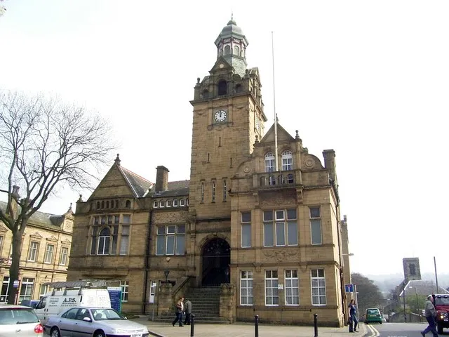
- Population
- 27,393
- 27.4K
- Elevation
- 92 m
- above sea level
- Local time
- UTC+00:00
- Europe/London · UTC+00:00
About Cleckheaton
Cleckheaton is a town. Location: Mirfield, Kirklees. Population: 27,393. Elevation: 92 m.
Cleckheaton is a town in the metropolitan borough of Kirklees, West Yorkshire, England. Historically part of the West Riding of Yorkshire, it is situated south of Bradford, east of Brighouse, west of Batley and south-west of Leeds. It is at the centre of the Spen Valley and was the major town in the former borough of Spenborough. Cleckheaton has a history as a mill town and forms part of the Heavy Woollen District.
Read more on Wikipedia Text: Wikipedia contributors · CC BY-SA 4.0 · shortened
In comparison
- Nearest larger town: Brighouse, 5 km SW
- 26 sights and natural places within 10 km Kirklees Priory, Westgate Hill
Airports nearest to Cleckheaton
- Leeds Bradford Airport (LBA) Leeds, West Yorkshire 16 km
- Manchester Airport (MAN) Manchester, Greater Manchester 56 km
- Liverpool John Lennon Airport (LPL) Liverpool 87 km
Straight-line distance; airports with scheduled flights only. Source: OurAirports (public domain).
Nearby attractions & nature
Everything nearby-
Kirklees Priory Historic site, Calderdale3.6 km SW
-
Mirfield Castle Hall Hill Historic site, Mirfield5.3 km S
-
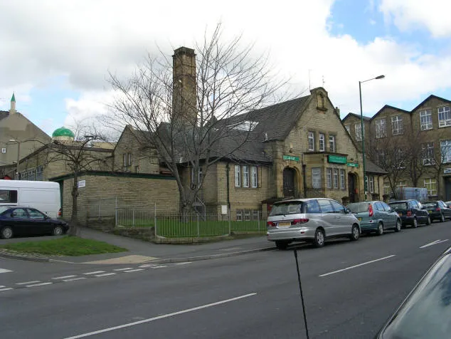 Bait-ul-Hamd Attraction, Bradford7.7 km N
-
Westgate Hill Mountain, Bradford4.4 km N
-
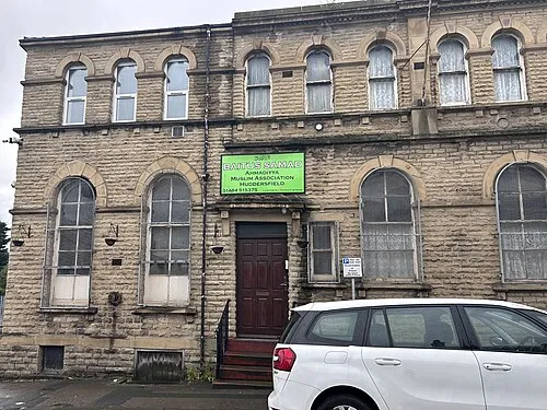 Bait-us-Samad Attraction, Kirklees9.2 km SW
-
Fixby Ridge Mountain, Kirklees8.6 km SW
-
Dalton Fold Mountain, Kirklees8.9 km SW
-
Bolling Hall Landmark, Bradford6.3 km N
Sources & licences
Data last updated: · 2 independent sources