Mirfield
Located in Kirklees, England Coordinates: 53°40′26″ N 1°41′39″ W
- Elevation
- 54 m
- above sea level
- Local time
- UTC+00:00
- Europe/London · UTC+00:00
- Places inside
- 19
- listed under Mirfield
About Mirfield
Mirfield is a municipality. Location: Kirklees, England. Elevation: 54 m.
In comparison
- Nearest larger town: Mirfield, 0 km W
- 19 sights and natural places within 10 km Mirfield Castle Hall Hill, Whitley Beaumont Manor
- Listed here: Neighbourhood: 15, Town: 2, Historic site: 1, Village: 1
Places in Mirfield
19 places-
Cleckheaton Town27.4K
-
Mirfield Town18.8K
-
Battyeford Neighbourhood
-
Bracken Hill Neighbourhood
-
Crossley Hill Neighbourhood
-
Kitson Hill Neighbourhood
-
Knowl Neighbourhood
-
Littlemoor Neighbourhood
-
Lower Hopton Neighbourhood
-
Mirfield Castle Hall Hill Historic site
-
Nab Neighbourhood
-
New Scarboro' Neighbourhood
-
Northorpe Neighbourhood
-
Sands Village
-
Snake Hill Neighbourhood
-
Stocks Bank Neighbourhood
-
Towngate Neighbourhood
-
Upper Hopton Neighbourhood
-
Woodbottom Neighbourhood
Nearby attractions & nature
Everything nearby-
Headfield Hill Mountain, Kirklees4.1 km E
-
Round Wood Hill Mountain, Kirklees4.2 km SW
-
Kirklees Priory Historic site, Calderdale3.7 km NW
-
Whitley Beaumont Manor Historic site, Kirkburton3.5 km S
-
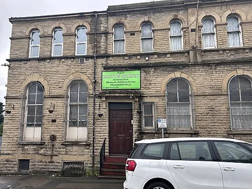 Bait-us-Samad Attraction, Kirklees6.2 km SW
-
Dalton Fold Mountain, Kirklees5.4 km SW
-
Bait-ul-Tauhid Attraction, Kirklees6.2 km W
-
Galpharm Stadium Landmark, Kirkburton5.4 km SW
Other cities and towns in Kirklees
-
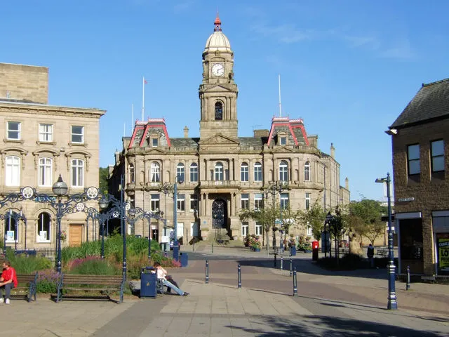 Dewsbury Town, Kirklees4.7 km NE
-
Batley Town, Kirklees5.1 km NE
-
 Huddersfield City, Kirkburton6.6 km SW
-
Kirkburton Municipality, Kirklees5 km S
-
Shelley Town, Kirkburton8.3 km S
-
Denby Dale Municipality, Kirklees9.7 km S
Sources & licences
Data last updated: