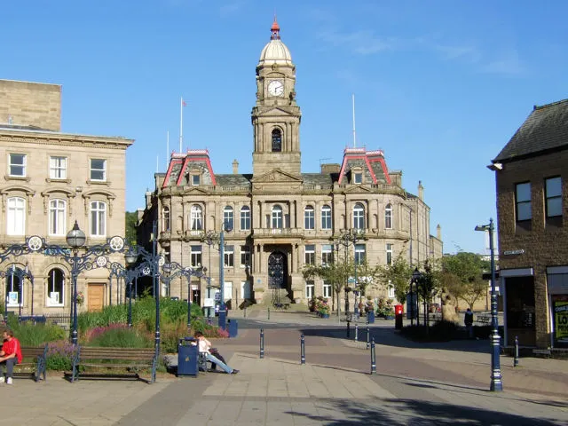
Dewsbury
Located in Kirklees, England Coordinates: 53°41′27″ N 1°37′45″ W
- Population
- 61,035
- 61K
- Elevation
- 44 m
- above sea level
- Local time
- UTC+00:00
- Europe/London · UTC+00:00
About Dewsbury
Dewsbury is a town. Location: Kirklees, England. Population: 61,035. Elevation: 44 m.
Dewsbury is a market town in the Metropolitan Borough of Kirklees, West Yorkshire, England. It is sited on the River Calder and on an arm of the Calder and Hebble Navigation waterway. It lies to the west of Wakefield, east of Huddersfield and south of Leeds. Historically a part of the West Riding of Yorkshire, after undergoing a period of major growth in the 19th century as a mill town, Dewsbury went through a period of decline. It forms part of the Heavy Woollen District, of which it is the largest town.
Read more on Wikipedia Text: Wikipedia contributors · CC BY-SA 4.0 · shortened
In comparison
- Most populous of 7 places in Kirklees
- Nearest larger town: Wakefield, 9 km E
- 19 sights and natural places within 10 km Headfield Hill, Mirfield Castle Hall Hill
Nearby attractions & nature
Everything nearby-
Headfield Hill Mountain, Kirklees1.3 km S
-
Mirfield Castle Hall Hill Historic site, Mirfield3.7 km W
-
Howley Hall Historic site, Morley4.3 km N
-
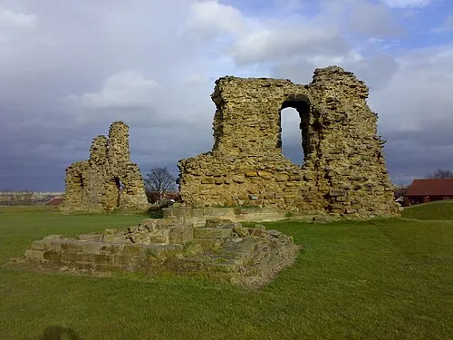 Sandal Castle Historic site, Wakefield9.8 km E
-
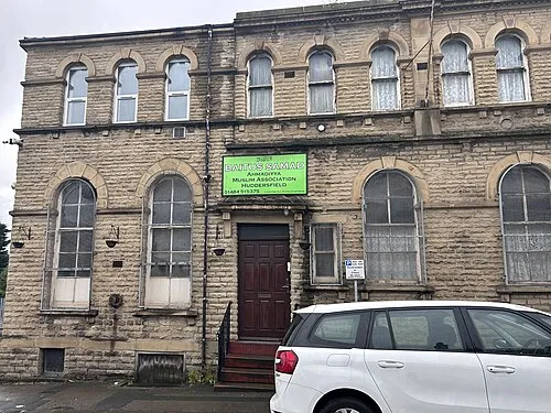 Bait-us-Samad Attraction, Kirklees11 km SW
-
Dalton Fold Mountain, Kirklees10 km SW
-
Chantry Chapel Attraction, Wakefield9.4 km E
-
Morley Mediumwave Transmitter Landmark, Morley6.3 km NE
Other cities and towns in Kirklees
-
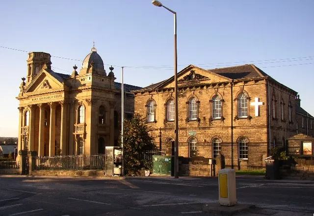 Heckmondwike Town, Kirklees3.6 km NW
-
Liversedge Town, Kirklees4.5 km W
-
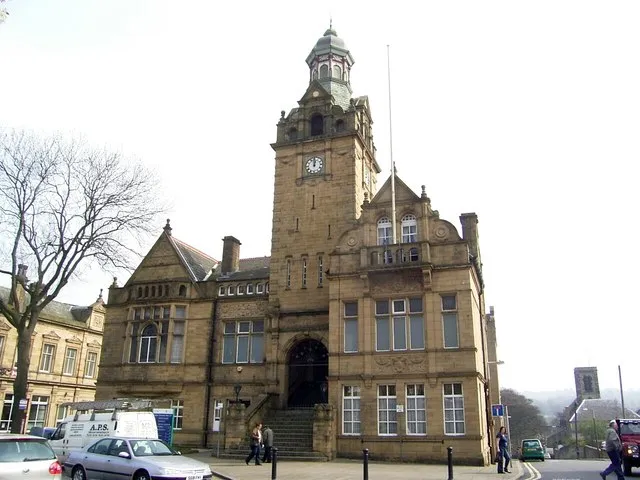 Cleckheaton Town, Mirfield6.7 km NW
-
Mirfield Town, Mirfield4.8 km SW
-
Mirfield Municipality, Kirklees4.7 km SW
-
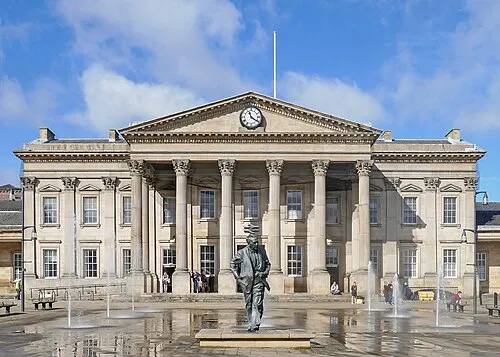 Huddersfield City, Kirkburton11 km SW
Sources & licences
Data last updated: · 2 independent sources