Heckmondwike
Located in Kirklees, England Coordinates: 53°42′23″ N 1°40′39″ W
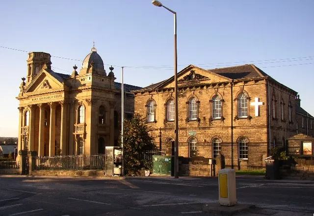
- Population
- 18,149
- 18.1K
- Elevation
- 61 m
- above sea level
- Local time
- UTC+00:00
- Europe/London · UTC+00:00
About Heckmondwike
Heckmondwike is a town. Location: Kirklees, England. Population: 18,149. Elevation: 61 m.
Heckmondwike is a town in the Kirklees district, West Yorkshire, England, 9 miles (14 km) south west of Leeds. Historically part of the West Riding of Yorkshire, it is close to Cleckheaton and Liversedge. It is in the Spen Valley parliamentary constituency, and had an estimated population of 16,986 at the 2011 Census increasing to 18,149 at the 2021 Census. Heckmondwike forms part of the Heavy Woollen District.
Read more on Wikipedia Text: Wikipedia contributors · CC BY-SA 4.0 · shortened
In comparison
- No. 4 of 7 places in Kirklees by population
- Nearest larger town: Liversedge, 1 km W
- 17 sights and natural places within 10 km Mirfield Castle Hall Hill, Kirklees Priory
Airports nearest to Heckmondwike
- Leeds Bradford Airport (LBA) Leeds, West Yorkshire 18 km
- Manchester Airport (MAN) Manchester, Greater Manchester 56 km
- Liverpool John Lennon Airport (LPL) Liverpool 88 km
Straight-line distance; airports with scheduled flights only. Source: OurAirports (public domain).
Nearby attractions & nature
Everything nearby-
Mirfield Castle Hall Hill Historic site, Mirfield3 km S
-
Kirklees Priory Historic site, Calderdale4.1 km W
-
Headfield Hill Mountain, Kirklees4.2 km SE
-
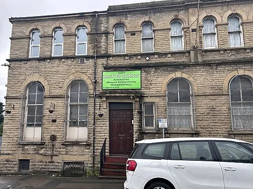 Bait-us-Samad Attraction, Kirklees9.1 km SW
-
Dalton Fold Mountain, Kirklees8.5 km SW
-
Howley Hall Historic site, Morley4.7 km NE
-
Fixby Ridge Mountain, Kirklees9.7 km W
-
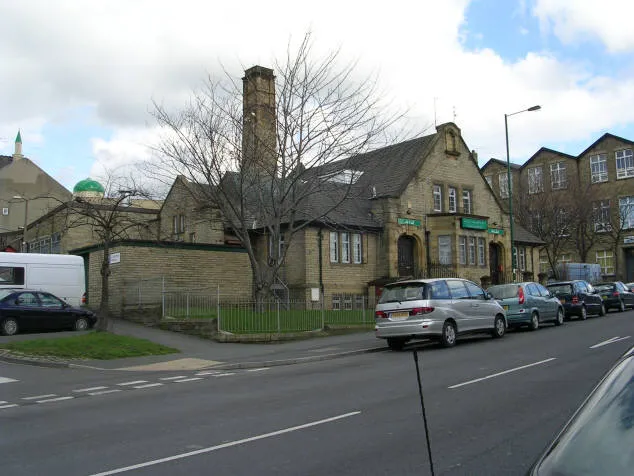 Bait-ul-Hamd Attraction, Bradford10 km N
Other cities and towns in Kirklees
-
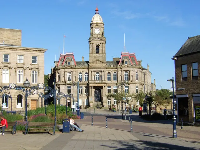 Dewsbury Town, Kirklees3.6 km SE
-
Mirfield Town, Mirfield3.9 km S
-
Mirfield Municipality, Kirklees3.8 km S
-
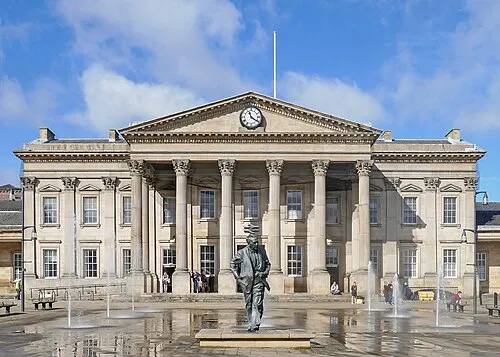 Huddersfield City, Kirkburton9.5 km SW
-
Kirkburton Municipality, Kirklees8.7 km S
-
Shelley Town, Kirkburton12 km S
Sources & licences
Data last updated: · 2 independent sources