Brighouse
Located in Calderdale, England Coordinates: 53°42′12″ N 1°47′03″ W
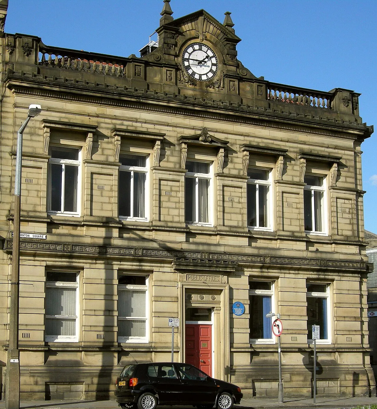
- Population
- 32,872
- 32.9K
- Elevation
- 80 m
- above sea level
- Local time
- UTC+00:00
- Europe/London · UTC+00:00
About Brighouse
Brighouse is a town. Location: Calderdale, England. Population: 32,872. Elevation: 80 m.
Brighouse (, locally also ) is a town within the metropolitan borough of Calderdale, in West Yorkshire, England. Historically within the West Riding of Yorkshire, it is situated on the River Calder, 4 miles (6.4 km) east of Halifax. It is served by Junction 25 of the M62 motorway and Brighouse railway station on the Caldervale Line and Huddersfield Line. In the town centre is a mooring basin on the Calder and Hebble Navigation.
Read more on Wikipedia Text: Wikipedia contributors · CC BY-SA 4.0 · shortened
In comparison
- No. 2 of 5 places in Calderdale by population
- Nearest larger town: Halifax, 5 km W
- 25 sights and natural places within 10 km Kirklees Priory, Fixby Ridge
Climate of Brighouse
Best months for sightseeing: June–August.
| Month | Jan | Feb | Mar | Apr | May | Jun | Jul | Aug | Sep | Oct | Nov | Dec |
|---|---|---|---|---|---|---|---|---|---|---|---|---|
| Average high (°C) | 7° | 7° | 9° | 11° | 15° | 18° | 20° | 20° | 17° | 13° | 10° | 8° |
| Average low (°C) | 2° | 1° | 3° | 4° | 7° | 10° | 12° | 12° | 10° | 7° | 4° | 3° |
| Precipitation (mm) | 98 | 71 | 75 | 64 | 57 | 69 | 54 | 68 | 72 | 83 | 89 | 98 |
Monthly averages for 1970–2000 at about 18 km resolution, adjusted for elevation. Highlighted months are mild and relatively dry. Source: WorldClim 2.1 (CC BY 4.0).
Airports nearest to Brighouse
- Leeds Bradford Airport (LBA) Leeds, West Yorkshire 20 km
- Manchester Airport (MAN) Manchester, Greater Manchester 51 km
- Liverpool John Lennon Airport (LPL) Liverpool 82 km
Straight-line distance; airports with scheduled flights only. Source: OurAirports (public domain).
Nearby attractions & nature
Everything nearby-
Fixby Ridge Mountain, Kirklees3.7 km SW
-
Kirklees Priory Historic site, Calderdale3.2 km E
-
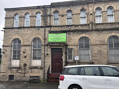 Bait-us-Samad Attraction, Kirklees5.8 km S
-
Bank Top Mountain, Calderdale4.1 km W
-
Dalton Fold Mountain, Kirklees5.9 km S
-
Bait-ul-Tauhid Attraction, Kirklees4.5 km S
-
Beacon Hill Mountain, Calderdale4.6 km NW
-
The Shay Stadium Landmark, Calderdale5.1 km W
Sources & licences
Data last updated: · 2 independent sources