Kiddal Lane End
Located in Barwick in Elmet and Scholes, Leeds Coordinates: 53°51′04″ N 1°23′35″ W
- Elevation
- 98 m
- above sea level
- Local time
- UTC+00:00
- Europe/London · UTC+00:00
- Airports
- LBA Leeds Bradford Airport18 km
- MME Teesside International Airport73 km
About Kiddal Lane End
Kiddal Lane End is a village. Location: Barwick in Elmet and Scholes, Leeds. Elevation: 98 m. The best months to visit are June–August. The nearest airport is Leeds Bradford Airport (18 km). Nearby sights include Barwick in Elmet and Saw Wood.
Photos of Kiddal Lane End
-
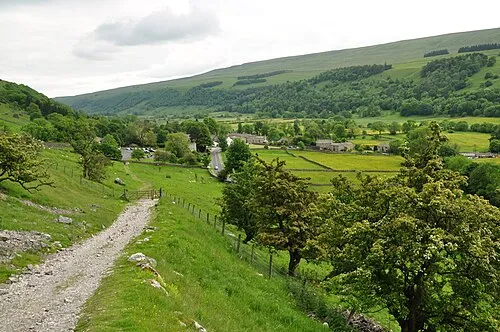
Wharfedale Nilfanion · CC BY-SA 4.0

Climate of Kiddal Lane End
Best months for sightseeingBest months for sightseeing: June–August.
This month · November
A cold month
Day 9° · Night 3° · Rain 62 mm
- Hottest month
- July (day 20°)
- Coldest month
- January (night 0°)
- Wettest month
- December (69 mm)
- Driest month
- February (47 mm)
Bars: average monthly low and high temperature. Below: precipitation. Monthly averages for 1970–2000 at about 18 km resolution, adjusted for elevation. Highlighted months are mild and relatively dry. Source: WorldClim 2.1 (CC BY 4.0).
Show values as a table
| Month | Jan | Feb | Mar | Apr | May | Jun | Jul | Aug | Sep | Oct | Nov | Dec |
|---|---|---|---|---|---|---|---|---|---|---|---|---|
| Average high (°C) | 6° | 6° | 9° | 11° | 15° | 18° | 20° | 20° | 17° | 13° | 9° | 7° |
| Average low (°C) | 0° | 0° | 2° | 3° | 6° | 9° | 11° | 11° | 9° | 6° | 3° | 2° |
| Precipitation (mm) | 67 | 47 | 53 | 50 | 49 | 57 | 48 | 58 | 57 | 61 | 62 | 69 |
How to get to Kiddal Lane End
The nearest airport is Leeds Bradford Airport (LBA), 18 km to the west as the crow flies. The nearest large city is Leeds, 12 km to the southwest.
Airports
- Leeds Bradford Airport (LBA) Leeds, West Yorkshire 18 kmwest
- Teesside International Airport (MME) Darlington, Durham 73 kmnorth
- Humberside Airport (HUY) Grimsby, Lincolnshire 75 kmsoutheast
Nearby large cities
- Leeds Population: 536.3K 12 kmsouthwest
- Wakefield Population: 109.8K 20 kmsouth
- York Population: 156.1K 24 kmnortheast
- Bradford Population: 366.2K 24 kmwest
- Huddersfield Population: 149K 34 kmsouthwest
Straight-line distances; road distances are longer. Airport data: OurAirports.
Day trips from Kiddal Lane End
Within 100 km: 603 historic and cultural sites, 997 natural sites, 182 lakes, rivers and coasts.
0–25 km117 places
- Beal Island Island 19 kmSE
- The Island Island 23 kmNE
- Heron Island Island 10 kmE
- Willow Island Island 18 kmSE
25–60 km530 places
- Great Britain Island 43 kmNW
- The Island Island 46 kmN
- Read's Island Island 59 kmE
- Whitton Island Island 50 kmE
60–100 km1,135 places
- Seaton Carew Beach Beach 91 kmN
- Redcar Beach Beach 88 kmN
- Whitby Beach Beach 87 kmNE
- North Beach Beach 84 kmE
Straight-line distances.
Nearby attractions & nature
Everything nearby-
Barwick in Elmet Historic site, Barwick in Elmet and Scholes2.1 km S
-
Saw Wood Natural site, England1.7 km W
-
Wharfedale Natural site, England5.2 km NW
-
Bardsey Castle Hill Historic site, Bardsey cum Rigton5 km NW
-
Hazlewood Castle Historic site, Stutton with Hazlewood4.9 km E
-
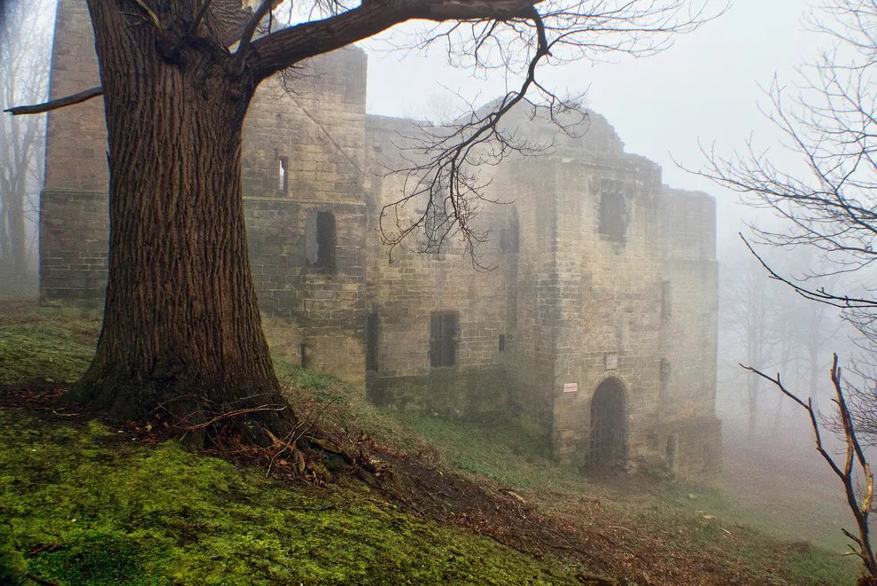 Harewood Castle Historic site, Harewood9.9 km NW
Sources & licences
Data last updated: