- Local time
- UTC+00:00
- Europe/London · UTC+00:00
- Elevation
- 63 m
- above sea level
- Airports
- EMA East Midlands Airport26 km
- BHX Birmingham Airport46 km
About Leicester Castle
Leicester Castle is a historic site. Location: Leicester, England.
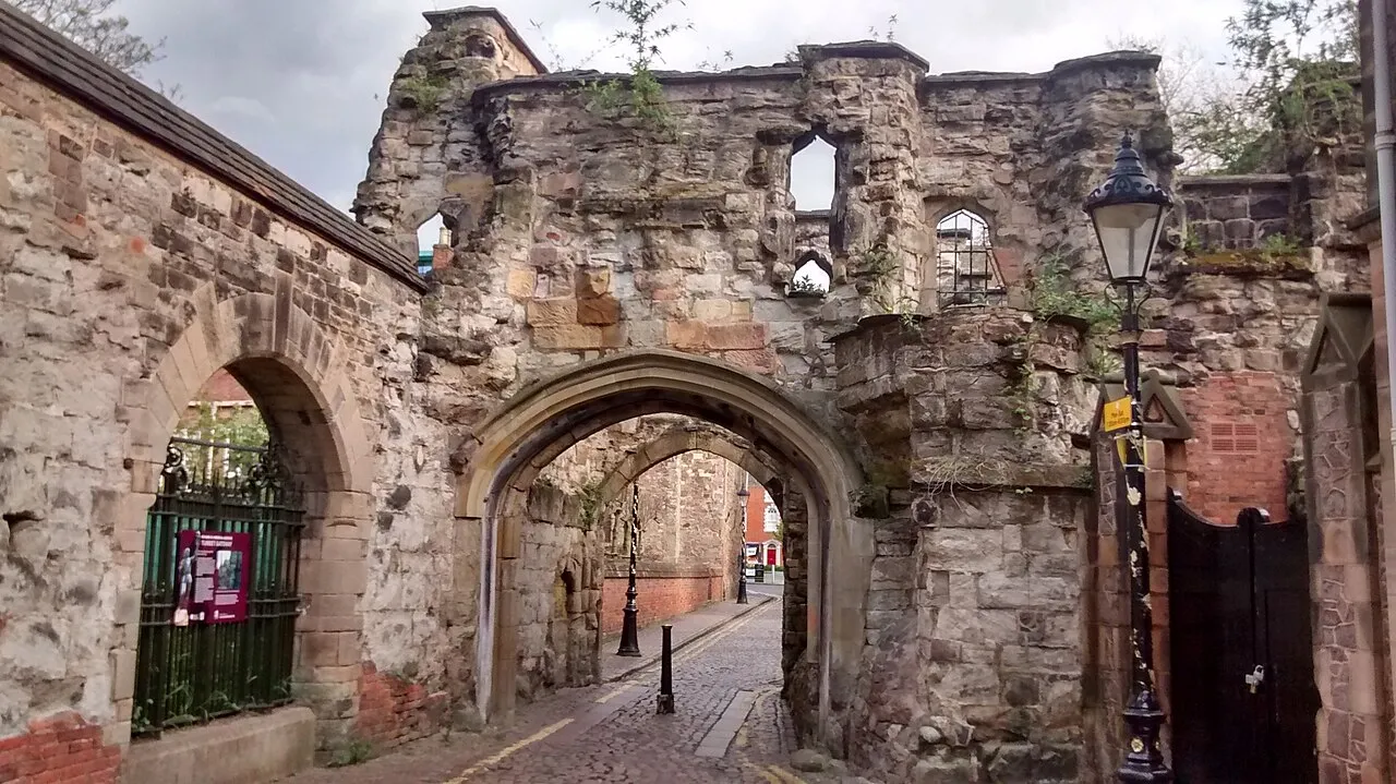
Leicester Castle is in the city of the same name in the English county of Leicestershire. The complex is situated in the west of Leicester City Centre, between Saint Nicholas Circle to the north and De Montfort University to the south. A large motte, the Great Hall, the Church of St Mary de Castro, and the ruined Turret Gateway are the substantial remains of what was once a large set of defensive and residential structures.
Source: Wikipedia · CC BY-SA 4.0
At a glance
- Built
- c. 1060
Source: Wikidata
Photos of Leicester Castle
-

NotFromUtrecht · CC BY-SA 3.0 -

Richard Nevell · CC BY-SA 4.0 -

Richard Nevell · CC BY-SA 4.0 -

Richard Nevell · CC BY-SA 4.0 -

Richard Nevell · CC BY-SA 4.0


Climate of Leicester Castle
Best months for sightseeingBest months for sightseeing: June–August.
This month · November
A cold month
Day 10° · Night 4° · Rain 58 mm
- Hottest month
- July (day 22°)
- Coldest month
- February (night 1°)
- Wettest month
- December (61 mm)
- Driest month
- February (44 mm)
Bars: average monthly low and high temperature. Below: precipitation. Monthly averages for 1970–2000 at about 18 km resolution, adjusted for elevation. Highlighted months are mild and relatively dry. Source: WorldClim 2.1 (CC BY 4.0).
Show values as a table
| Month | Jan | Feb | Mar | Apr | May | Jun | Jul | Aug | Sep | Oct | Nov | Dec |
|---|---|---|---|---|---|---|---|---|---|---|---|---|
| Average high (°C) | 7° | 7° | 10° | 12° | 16° | 19° | 22° | 21° | 18° | 14° | 10° | 8° |
| Average low (°C) | 1° | 1° | 2° | 4° | 6° | 10° | 12° | 11° | 9° | 7° | 4° | 2° |
| Precipitation (mm) | 57 | 44 | 50 | 48 | 49 | 57 | 50 | 58 | 57 | 56 | 58 | 61 |
How to get to Leicester Castle
The nearest airport is East Midlands Airport (EMA), 26 km to the northwest as the crow flies. The nearest large city is Leicester, 1 km to the northeast.
Airports
- East Midlands Airport (EMA) Nottingham, Leicestershire 26 kmnorthwest
- Birmingham Airport (BHX) Birmingham, West Midlands 46 kmsouthwest
- London Luton Airport (LTN) Luton, Luton 99 kmsoutheast
Nearby large cities
- Leicester Population: 368.6K 1 kmnortheast
- Coventry Population: 345.3K 36 kmsouthwest
- Nottingham Population: 323.6K 36 kmnorth
- Burton-on-Trent Population: 122.2K 39 kmnorthwest
- Derby Population: 270.5K 40 kmnorthwest
Straight-line distances; road distances are longer. Airport data: OurAirports.
Day trips from Leicester Castle
Within 100 km: 634 historic and cultural sites, 670 natural sites, 121 lakes, rivers and coasts.
0–25 km71 places
- The Islands Island 9 kmSE
- Bardon Hill Mountain 15 kmNW
- Whatborough Hill Mountain 19 kmE
- Beacon Hill Mountain 13 kmNW
25–60 km365 places
- Newark Island Island 54 kmNE
- Horninglow island Island 38 kmNW
- Park Island Island 59 kmE
- Crescent Wood Island Island 44 kmSW
60–100 km989 places
- Inner Tidal Bank Island 99 kmE
- Isle of Rhea Island 96 kmS
- Fiddler's Island Island 97 kmS
- Glover's Island Island 81 kmSW
Straight-line distances.
Nearby attractions & nature
Everything nearby-
Welford Road Landmark, Leicester1 km SE
-
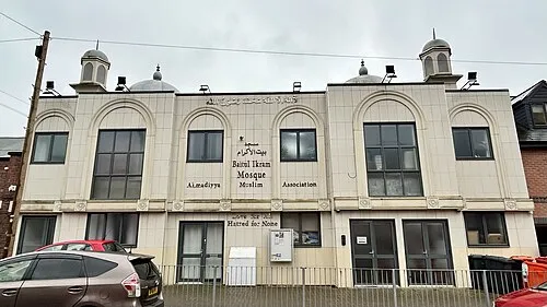 Bait-ul-Ikram Attraction, Leicester2.4 km SE
-
The King Power Stadium Landmark, Leicester1.3 km S
-
Freemen's Common Mediumwave Transmitter Landmark, Leicester1.6 km SE
-
Leicester Abby Attraction, Leicester1.9 km N
-
Abbey Park Natural site, Leicester1.7 km N
-
Cossington Recreation Ground Natural site, Leicester2.4 km NE
-
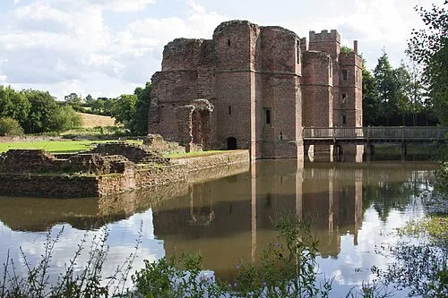 Kirby Muxloe Castle Historic site, Kirby Muxloe5.9 km W
Nearest towns and villages
-
Leicester City, Leicester1 km NE
-
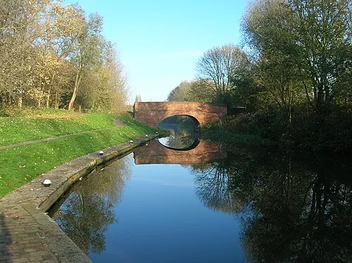 Aylestone Town, Leicester3.1 km S
-
Belgrave Town, Leicester2.6 km NE
-
Wolsey Island Neighbourhood, Leicester2.1 km N
Sources & licences
Data last updated: · 2 independent sources