Blaby
Located in Leicestershire, England Coordinates: 52°34′44″ N 1°11′57″ W
- Population
- 97,703
- 97.7K
- Elevation
- 76 m
- above sea level
- Local time
- UTC+00:00
- Europe/London · UTC+00:00
- Places inside
- 24
- listed under Blaby
About Blaby
Blaby is a municipality. Location: Leicestershire, England. Population: 97,703. Elevation: 76 m.
In comparison
- No. 4 of 7 places in Leicestershire by population
- Nearest larger town: Leicester, 8 km NE
- 14 sights and natural places within 10 km Croft Hill, The King Power Stadium
- Listed here: Village: 24
Places in Blaby
24 places-
Aston Flamville Village
-
Blaby Village
-
Braunstone Village
-
Cosby Village
-
Countesthorpe Village
-
Croft Village
-
Elmesthorpe Village
-
Enderby Village
-
Glenfields Village
-
Glen Parva Village
-
Huncote Village
-
Kilby Village
-
Kirby Muxloe Village
-
Leicester Forest East Village
-
Leicester Forest West Village
-
Lubbesthorpe Village
-
Narborough Village
-
Potters Marston Village
-
Sapcote Village
-
Sharnford Village
-
Stoney Stanton Village
-
Thurlaston Village
-
Whetstone Village
-
Wigston Parva Village
Nearby attractions & nature
Everything nearby-
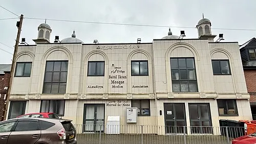 Bait-ul-Ikram Attraction, Leicester6.7 km NE
-
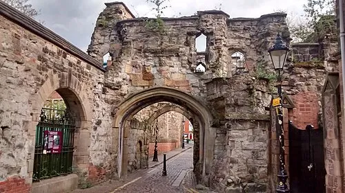 Leicester Castle Historic site, Leicester7.1 km NE
-
Earl Shilton Castle Yard Historic site, Earl Shilton7.3 km W
-
The King Power Stadium Landmark, Leicester6 km NE
-
Freemen's Common Mediumwave Transmitter Landmark, Leicester6.4 km NE
-
Welford Road Landmark, Leicester6.8 km NE
-
Abbey Park Natural site, Leicester8.8 km NE
-
Leicester Abby Attraction, Leicester8.9 km NE
Sources & licences
Data last updated: