- Population
- 44,580
- 44.6K
- Elevation
- 64 m
- above sea level
- Local time
- UTC+00:00
- Europe/London · UTC+00:00
- Airports
- EMA East Midlands Airport47 km
- HUY Humberside Airport77 km
About Grantham
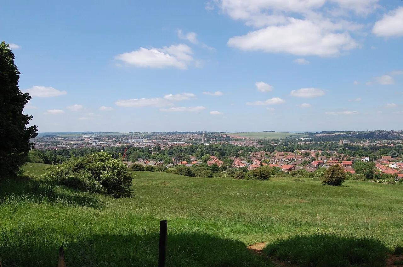
Grantham is a town. Location: South Kesteven District, Lincolnshire. Population: 44,580. Elevation: 64 m.
Grantham ( ) is a market town and civil parish in the South Kesteven district of Lincolnshire, England. It is situated on the banks of the River Witham and bounded to the west by the A1 road; it lies 23 miles (37 km) south of Lincoln and 22 miles (35 km) east of Nottingham. The population at the 2021 census was 44,898. The town is the largest settlement and the administrative centre of the South Kesteven District.
Source: Wikipedia · CC BY-SA 4.0
Photos of Grantham
-

Bob Harvey · CC BY-SA 2.0 -

Bob Harvey · CC BY-SA 2.0 -

Bob Harvey · CC BY-SA 2.0


Travel notes for Grantham
From Wikivoyage
Grantham is a market town in the county of Lincolnshire, in England.
Get in+
By car:
The A1, a major north-south intercity road, bypasses the town to the west, the road is dual carriageway and is grade separated until St Neots to the south, and as far away as Newcastle in the North. London is 100 miles (160 km) to the south. To the north is Newark, Doncaster, which take up to half an hour to reach with clear traffic. The road goes as far as Edinburgh in Scotland, passing by Newcastle upon Tyne, Durham, and Darlington.
The A52 is a major east-west route going through the centre of the town, Nottingham, Derby and Stoke-on-Trent are reached westwards; while Boston, and Skegness are reached going eastwards.
The A607 is a secondary route linking Lincolnshire's county town of Lincoln in the north, with Leicester to the south, going through Melton Mowbray as it does so.
By train:
1 Grantham railway station (GRA). This station is on the main north-south line between London and Edinburgh. Various companies operate services. From London King's Cross, Hull Trains are the cheapest and fastest with a 1-hour non-stop train for £41 one way, advance purchase from €11.50 (Sep 2018). (updated Nov 2019)
A second line also runs east-west and connects Grantham to Nottingham.
Source: Wikivoyage · CC BY-SA 4.0 · abridged
Climate of Grantham
Best months for sightseeingBest months for sightseeing: June–August.
This month · November
A cold month
Day 9° · Night 4° · Rain 58 mm
- Hottest month
- July (day 21°)
- Coldest month
- February (night 1°)
- Wettest month
- August (60 mm)
- Driest month
- February (43 mm)
Bars: average monthly low and high temperature. Below: precipitation. Monthly averages for 1970–2000 at about 18 km resolution, adjusted for elevation. Highlighted months are mild and relatively dry. Source: WorldClim 2.1 (CC BY 4.0).
Show values as a table
| Month | Jan | Feb | Mar | Apr | May | Jun | Jul | Aug | Sep | Oct | Nov | Dec |
|---|---|---|---|---|---|---|---|---|---|---|---|---|
| Average high (°C) | 6° | 7° | 9° | 12° | 16° | 18° | 21° | 21° | 18° | 14° | 9° | 7° |
| Average low (°C) | 1° | 1° | 3° | 4° | 7° | 10° | 12° | 12° | 10° | 7° | 4° | 2° |
| Precipitation (mm) | 56 | 43 | 47 | 48 | 49 | 56 | 48 | 60 | 54 | 55 | 58 | 59 |
How to get to Grantham
The nearest airport is East Midlands Airport (EMA), 47 km to the west as the crow flies. The nearest large city is Nottingham, 35 km to the west.
Airports
- East Midlands Airport (EMA) Nottingham, Leicestershire 47 kmwest
- Humberside Airport (HUY) Grimsby, Lincolnshire 77 kmnorth
- Birmingham Airport (BHX) Birmingham, West Midlands 90 kmsouthwest
Nearby large cities
- Nottingham Population: 323.6K 35 kmwest
- Lincoln Population: 103.8K 36 kmnorth
- Mansfield Population: 172K 45 kmnorthwest
- Leicester Population: 368.6K 45 kmsouthwest
- Peterborough Population: 163.4K 46 kmsoutheast
Straight-line distances; road distances are longer. Airport data: OurAirports.
Day trips from Grantham
Within 100 km: 510 historic and cultural sites, 444 natural sites, 129 lakes, rivers and coasts.
0–25 km38 places
- Newark Island Island 22 kmNW
- Waltham on the Wolds Hill Mountain 16 kmSW
- Normanton Hill Mountain 12 kmNE
- Casthorpe Hills Mountain 4 kmW
25–60 km271 places
- Park Island Island 38 kmSE
- Torksey Island Island 44 kmN
- Barton Island Island 39 kmW
- The Islands Island 48 kmSW
60–100 km774 places
- Snettisham Beach Beach 73 kmE
- Sunk Island Island 91 kmNE
- Read's Island Island 86 kmN
- Scolt Head Island Island 90 kmE
Straight-line distances.
Nearby attractions & nature
Everything nearby-
Casthorpe Hills Mountain, Barrowby4.2 km W
-
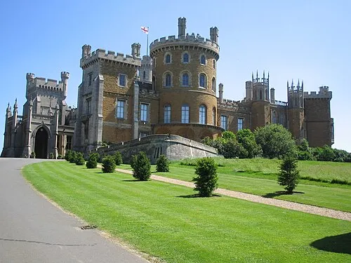 Belvoir Castle Historic site, Belvoir9.7 km W
-
Summerfield's Hill Mountain, Carlton Scroop8.3 km N
-
Heydour Castle Hills Historic site, Heydour10 km E
-
Hough on the Hill Castle Hill Historic site, Hough-on-the-Hill11 km N
-
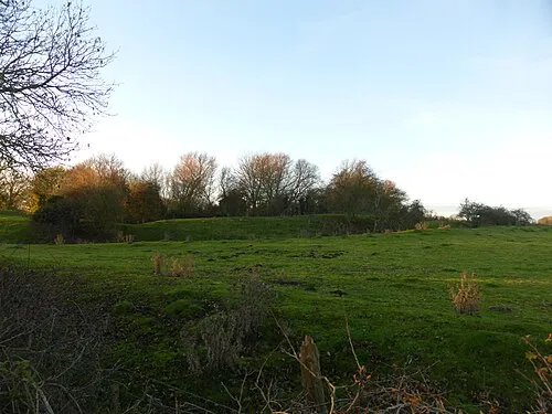 Folkingham Castle Historic site, Folkingham16 km E
-
Ancaster Historic site, Ancaster10 km NE
-
Normanton Hill Mountain, Normanton12 km NE
Other cities and towns in South Kesteven District
-
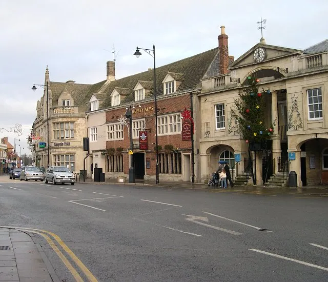 Bourne Town, Bourne24 km SE
-
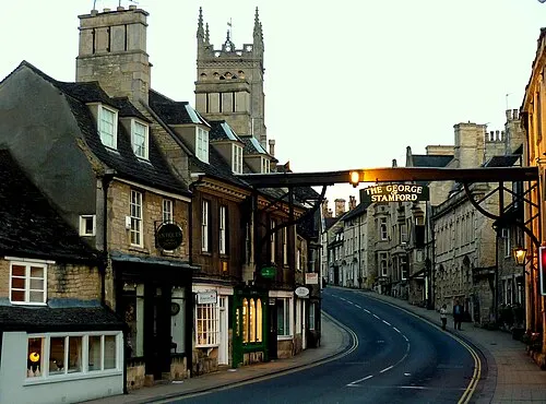 Stamford Town, Stamford31 km S
-
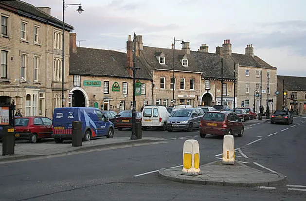 Market Deeping Town, Market Deeping34 km SE
Sources & licences
Data last updated: · 2 independent sources