Castlefield
Located in Manchester, England Coordinates: 53°28′17″ N 2°15′13″ W
- Elevation
- 33 m
- above sea level
- Local time
- UTC+00:00
- Europe/London · UTC+00:00
About Castlefield
Castlefield is a neighbourhood. Location: Manchester, England.
Castlefield is an inner-city conservation area in Manchester, North West England. The conservation area which bears its name is bounded by the River Irwell, Quay Street, Deansgate and Chester Road. It was the site of the Roman era fort of Mamucium or Mancunium which gave its name to Manchester. It was the terminus of the Bridgewater Canal, the world's first industrial canal, built in 1764; the oldest canal warehouse opened in 1779.
Read more on Wikipedia Text: Wikipedia contributors · CC BY-SA 4.0 · shortened
In comparison
- Nearest larger town: Hulme, 1 km SE
- 39 sights and natural places within 10 km Halume Park, Manchester Museum of Science and Industry (MOSI)
Nearby attractions & nature
Everything nearby-
Halume Park Natural site, Manchester0.5 km S
-
Manchester Museum of Science and Industry (MOSI) Museum, Manchester0.6 km N
-
Manchester Central Landmark, Manchester0.7 km NE
-
Saint George's Island Island, Manchester0.7 km W
-
Saint Georges Park Natural site, Manchester0.7 km SW
-
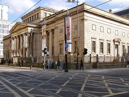 Manchester Art Gallery Museum, Manchester1.1 km NE
Sources & licences
Data last updated: · 2 independent sources