Fallowfield
Located in Manchester, England Coordinates: 53°26′23″ N 2°12′57″ W
- Population
- 14,132
- 14.1K
- Elevation
- 44 m
- above sea level
- Local time
- UTC+00:00
- Europe/London · UTC+00:00
About Fallowfield
Fallowfield is a neighbourhood. Location: Manchester, England. Population: 14,132.
Fallowfield is an area of Manchester which had a population of 14,869 at the 2021 census. Historically in Lancashire, it lies 3 miles (5 km) south of Manchester city centre and is bisected east–west by Wilbraham Road and north–south by Wilmslow Road. The former Fallowfield Loop railway line, now a shared use path, follows a route nearly parallel with the east–west main road (Moseley Road/Wilbraham Road). The area has a large student population.
Read more on Wikipedia Text: Wikipedia contributors · CC BY-SA 4.0 · shortened
In comparison
- No. 8 of 16 places in Manchester by population
- Nearest larger town: Levenshulme, 2 km E
- 36 sights and natural places within 10 km Peel Moat, Holy Trinity Armenian Church
Nearby attractions & nature
Everything nearby-
Peel Moat Landmark, Stockport2.1 km SE
-
Halume Park Natural site, Manchester3.9 km NW
-
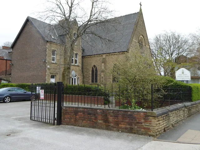 Holy Trinity Armenian Church Attraction, Manchester2.6 km N
-
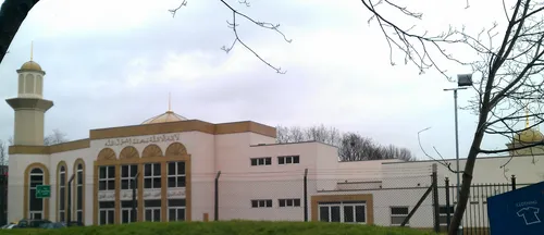 Darul Amaan Mosque Attraction, Manchester2.9 km NW
-
Manchester Museum (oxford road) Museum, Manchester3.2 km NW
-
 Old Trafford Landmark, Trafford5.6 km NW
Sources & licences
Data last updated: · 2 independent sources