Collyhurst
Located in Manchester, England Coordinates: 53°29′56″ N 2°13′13″ W
- Elevation
- 61 m
- above sea level
- Local time
- UTC+00:00
- Europe/London · UTC+00:00
About Collyhurst
Collyhurst is a neighbourhood. Location: Manchester, England.
Collyhurst is an inner city area of Manchester, England, 1.5 miles (2.4 km) northeast of the city centre on Rochdale Road (A664) and Oldham Road (A62), bounded by Smedley, Harpurhey and Monsall to the north, Miles Platting to the east, Ancoats to the south, and the River Irk to the west. Prominent buildings include two Roman Catholic churches, St Patrick's and St Malachy's.
Read more on Wikipedia Text: Wikipedia contributors · CC BY-SA 4.0 · shortened
In comparison
- Nearest larger town: Harpurhey, 1 km N
- 40 sights and natural places within 10 km Manchester Evening News Arena, Urbis Manchester
Nearby attractions & nature
Everything nearby-
Manchester Evening News Arena Landmark, Manchester2 km SW
-
Urbis Manchester Museum, Manchester2.1 km SW
-
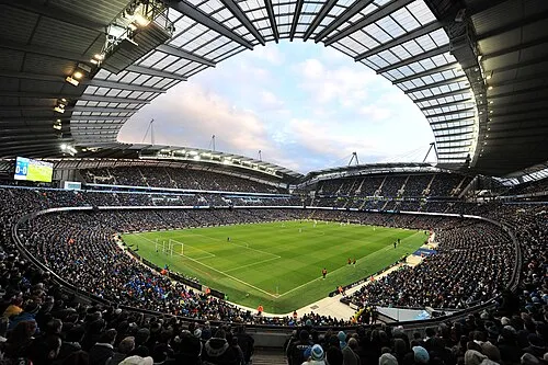 City of Manchester Stadium Landmark, Manchester2.1 km SE
-
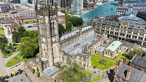 Manchester Cathedral Attraction, Manchester2.2 km SW
-
Piccadilly Gardens Attraction, Manchester2.3 km SW
-
River Irk River, England2.6 km SW
Sources & licences
Data last updated: · 2 independent sources