Openshaw
Located in Manchester, England Coordinates: 53°28′00″ N 2°10′00″ W
- Elevation
- 78 m
- above sea level
- Local time
- UTC+00:00
- Europe/London · UTC+00:00
About Openshaw
Openshaw is a village. Location: Manchester, England. Elevation: 78 m.
Openshaw is a suburb of Manchester, Greater Manchester, England, about three miles east of Manchester city centre. Historically part of Lancashire, Openshaw was incorporated into the city of Manchester in 1890. Its name derives from the Old English Opinschawe, which means an open wood or coppice. During the Second Industrial Revolution, when Openshaw become an area of heavy industry, socialism and trade unionism flourished.
Read more on Wikipedia Text: Wikipedia contributors · CC BY-SA 4.0 · shortened
In comparison
- Nearest larger town: Gorton, 0 km N
- 42 sights and natural places within 10 km Manchester Velodrome, City of Manchester Stadium
Nearby attractions & nature
Everything nearby-
Manchester Velodrome Landmark, Manchester2.7 km NW
-
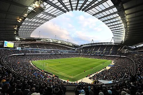 City of Manchester Stadium Landmark, Manchester2.9 km NW
-
Ashton Moss Mediumwave Transmitter, Tower 1 Landmark, Mossley3 km NE
-
Ashton Moss Mediumwave Transmitter, Tower 2 Landmark, Mossley3.1 km NE
-
Ashton Moss Mediumwave Transmitter, Tower 3 Landmark, Mossley3.2 km NE
-
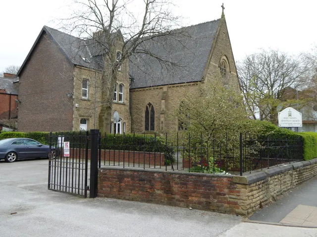 Holy Trinity Armenian Church Attraction, Manchester3.8 km W
Sources & licences
Data last updated: · 2 independent sources