Bletchley
Located in Bletchley and Fenny Stratford, Milton Keynes Coordinates: 51°59′36″ N 0°44′05″ W
- Population
- 50,193
- 50.2K
- Elevation
- 82 m
- above sea level
- Local time
- UTC+00:00
- Europe/London · UTC+00:00
- Airports
- LTN London Luton Airport28 km
- LHR London Heathrow Airport61 km
About Bletchley
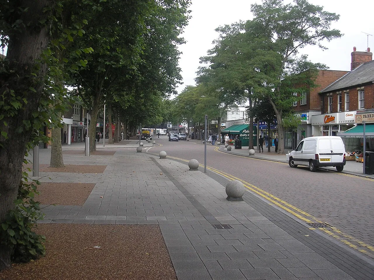
Bletchley is a town. Location: Bletchley and Fenny Stratford, Milton Keynes. Population: 50,193. Elevation: 82 m.
Bletchley is a constituent town of Milton Keynes, a city in Buckinghamshire, England. It gives its name to a larger census "built-up area" that occupies the south-west of the city and which is divided by the West Coast Main Line railway between the civil parishes of Bletchley & Fenny Stratford and West Bletchley, together with a fragment of Stoke Hammond CP. At the 2021 census, the population of this wider area was 45,010.
Source: Wikipedia · CC BY-SA 4.0
Photos of Bletchley
-

Steve Elliott from UK · CC BY-SA 2.0 -

Steve Elliott from UK · CC BY-SA 2.0 -

Graham Robson · CC BY-SA 2.0 -

Graham Robson · CC BY-SA 2.0 -

PAUL FARMER · CC BY-SA 2.0


Climate of Bletchley
Best months for sightseeingBest months for sightseeing: June–August.
This month · November
A cold month
Day 10° · Night 4° · Rain 62 mm
- Hottest month
- July (day 22°)
- Coldest month
- February (night 1°)
- Wettest month
- December (64 mm)
- Driest month
- February (43 mm)
Bars: average monthly low and high temperature. Below: precipitation. Monthly averages for 1970–2000 at about 18 km resolution, adjusted for elevation. Highlighted months are mild and relatively dry. Source: WorldClim 2.1 (CC BY 4.0).
Show values as a table
| Month | Jan | Feb | Mar | Apr | May | Jun | Jul | Aug | Sep | Oct | Nov | Dec |
|---|---|---|---|---|---|---|---|---|---|---|---|---|
| Average high (°C) | 7° | 7° | 10° | 13° | 16° | 19° | 22° | 22° | 19° | 14° | 10° | 8° |
| Average low (°C) | 2° | 1° | 3° | 4° | 7° | 10° | 12° | 12° | 10° | 7° | 4° | 2° |
| Precipitation (mm) | 60 | 43 | 52 | 49 | 53 | 57 | 45 | 55 | 59 | 61 | 62 | 64 |
How to get to Bletchley
The nearest airport is London Luton Airport (LTN), 28 km to the southeast as the crow flies. The nearest large city is Milton Keynes, 6 km to the north.
Airports
- London Luton Airport (LTN) Luton, Luton 28 kmsoutheast
- London Heathrow Airport (LHR) London 61 kmsouth
- London Stansted Airport (STN) London, Essex 68 kmeast
Nearby large cities
- Milton Keynes Population: 256.4K 6 kmnorth
- Bedford Population: 106.9K 24 kmnortheast
- Luton Population: 225.3K 25 kmsoutheast
- Northampton Population: 245.9K 30 kmnorth
- High Wycombe Population: 133.2K 41 kmsouth
Straight-line distances; road distances are longer. Airport data: OurAirports.
Day trips from Bletchley
Within 100 km: 897 historic and cultural sites, 533 natural sites, 260 lakes, rivers and coasts.
0–25 km157 places
- Apple Island Island 23 kmNE
- Rink Islands Island 24 kmNE
- Millholme Island Island 23 kmN
- Monkey Island Island 19 kmW
25–60 km437 places
- The Lynch Island 57 kmS
- Andersey Island Island 52 kmSW
- Windsor Racecourse Island Island 57 kmS
- Wargrave Island Island 54 kmS
60–100 km1,096 places
- White Hart Lane Landmark 63 kmSE
- Holm Island Island 64 kmS
- Sunbury Court Island 69 kmS
- Rivermead Island 69 kmS
Straight-line distances.
Bletchley and similar cities
Side by side with cities of similar size in the same country: population, elevation and climate.
| Measure | Bletchley | Bridgend | Inverness | Durham |
|---|---|---|---|---|
| Population | 50.2K | 49.6K | 47.8K | 47.8K |
| Elevation | 82 m | 23 m | 15 m | 52 m |
| Summer day (hottest month) | 22° | 21° | 19° | 20° |
| Winter night (coldest month) | 1° | 3° | 1° | 1° |
| Annual rainfall | 660 mm | 1,290 mm | 1,172 mm | 650 mm |
| Best months | Jun–Aug | Jun–Aug | Jun–Aug | Jun–Sep |
| Distance | — | 204 km | 650 km | 315 km |
Climate values are 1970–2000 monthly averages; straight-line distance.
Nearby attractions & nature
Everything nearby-
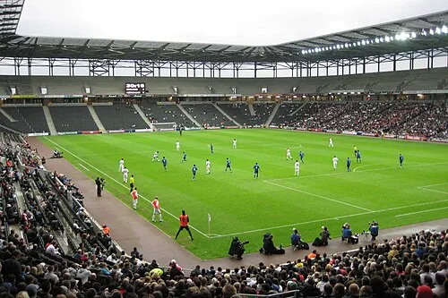 Stadium MK Landmark, Bletchley and Fenny Stratford1.8 km N
-
Blue Lagoon Park Natural site, Bletchley and Fenny Stratford0.8 km S
-
Newfoundout Lake, West Bletchley0.4 km S
-
Blue Lagoon Lake, Bletchley and Fenny Stratford0.7 km S
-
Bletchley Park Natural site, West Bletchley0.6 km NW
-
Bletchley Park Museum, West Bletchley0.7 km NW
-
National Museum of Computing Museum, West Bletchley0.7 km NW
-
Waterhall Park Natural site, Bletchley and Fenny Stratford1.4 km SE
Sources & licences
Data last updated: · 2 independent sources