- Elevation
- 58 m
- above sea level
- Local time
- UTC+00:00
- Europe/London · UTC+00:00
- Airports
- LTN London Luton Airport37 km
- STN London Stansted Airport70 km
About Petsoe End
Petsoe End is a village. Location: Emberton, Milton Keynes. Elevation: 58 m. The best months to visit are June–August. The nearest airport is London Luton Airport (37 km). Nearby sights include Lavendon Castle and Lavendon.
Climate of Petsoe End
Best months for sightseeingBest months for sightseeing: June–August.
This month · November
A cold month
Day 10° · Night 4° · Rain 57 mm
- Hottest month
- July (day 22°)
- Coldest month
- February (night 1°)
- Wettest month
- November (57 mm)
- Driest month
- February (39 mm)
Bars: average monthly low and high temperature. Below: precipitation. Monthly averages for 1970–2000 at about 18 km resolution, adjusted for elevation. Highlighted months are mild and relatively dry. Source: WorldClim 2.1 (CC BY 4.0).
Show values as a table
| Month | Jan | Feb | Mar | Apr | May | Jun | Jul | Aug | Sep | Oct | Nov | Dec |
|---|---|---|---|---|---|---|---|---|---|---|---|---|
| Average high (°C) | 7° | 7° | 10° | 13° | 17° | 20° | 22° | 22° | 18° | 14° | 10° | 8° |
| Average low (°C) | 1° | 1° | 3° | 4° | 7° | 10° | 12° | 12° | 10° | 7° | 4° | 2° |
| Precipitation (mm) | 55 | 39 | 49 | 47 | 49 | 56 | 47 | 54 | 55 | 55 | 57 | 57 |
How to get to Petsoe End
The nearest airport is London Luton Airport (LTN), 37 km to the southeast as the crow flies. The nearest large city is Milton Keynes, 11 km to the south.
Airports
- London Luton Airport (LTN) Luton, Luton 37 kmsoutheast
- London Stansted Airport (STN) London, Essex 70 kmsoutheast
- London Heathrow Airport (LHR) London 76 kmsouth
Nearby large cities
- Milton Keynes Population: 256.4K 11 kmsouth
- Bedford Population: 106.9K 16 kmeast
- Northampton Population: 245.9K 18 kmnorthwest
- Luton Population: 225.3K 34 kmsoutheast
- Cambridge Population: 145.7K 56 kmeast
Straight-line distances; road distances are longer. Airport data: OurAirports.
Nearby attractions & nature
Everything nearby-
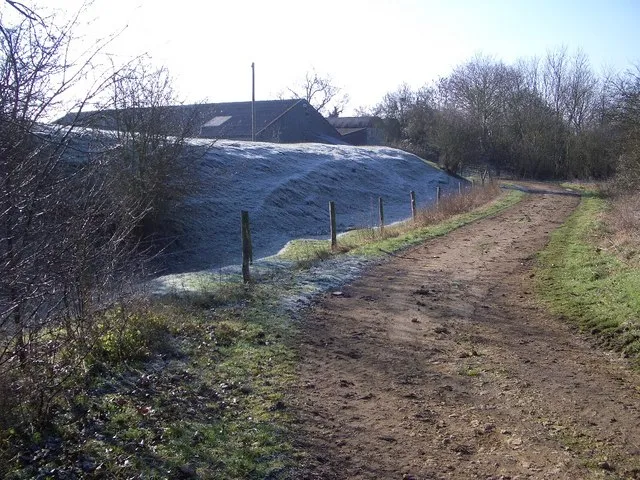 Lavendon Castle Historic site, Lavendon5.3 km NE
-
Lavendon Historic site, Lavendon4.8 km NE
-
Newport Pagnell Castle Historic site, Newport Pagnell5.7 km S
-
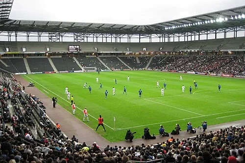 Stadium MK Landmark, Bletchley and Fenny Stratford14 km S
-
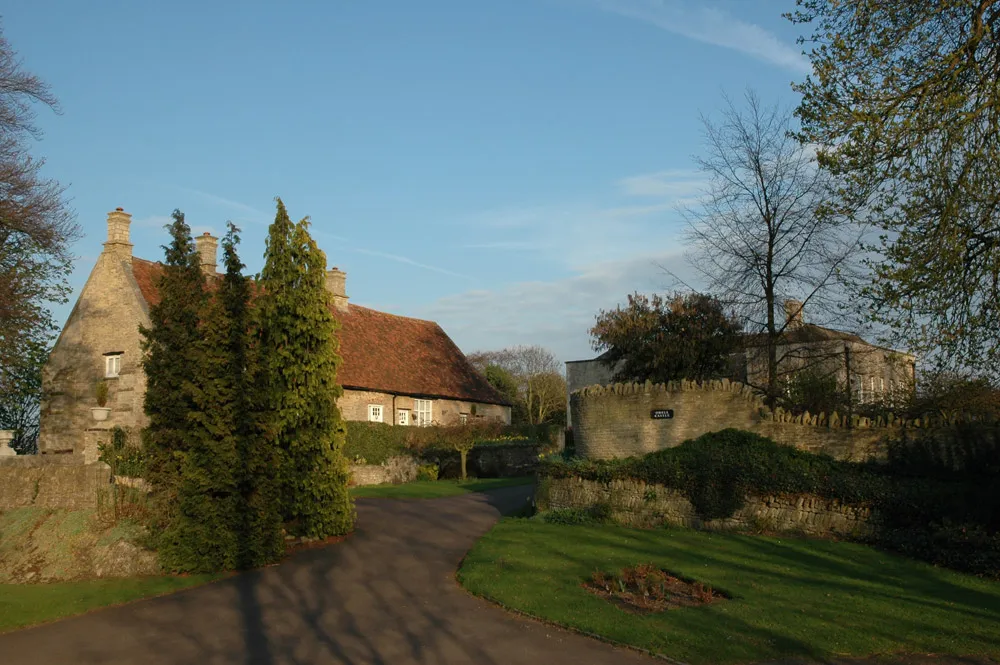 Odell Castle Historic site, Odell11 km NE
-
Tongwell Lake Lake, England7.6 km S
Sources & licences
Data last updated: