Woolsington
Located in Newcastle upon Tyne, England Coordinates: 55°01′16″ N 1°42′24″ W
- Elevation
- 67 m
- above sea level
- Local time
- UTC+00:00
- Europe/London · UTC+00:00
- Places inside
- 8
- listed under Woolsington
About Woolsington
Woolsington is a municipality. Location: Newcastle upon Tyne, England. Elevation: 67 m.
In comparison
- Nearest larger town: Darras Hall, 4 km NW
- 44 sights and natural places within 10 km Kingston Park, Westerhope Hill Heads
- Listed here: Neighbourhood: 4, Village: 3, Landmark: 1
Airports nearest to Woolsington
- Newcastle International Airport (NCL) Newcastle upon Tyne, Tyne and Wear 2 km
- Teesside International Airport (MME) Darlington, Durham 60 km
- Leeds Bradford Airport (LBA) Leeds, West Yorkshire 129 km
Straight-line distance; airports with scheduled flights only. Source: OurAirports (public domain).
Places in Woolsington
8 places-
Black Callerton Village
-
Callerton Lane End Village
-
Kenton Bank Foot Neighbourhood
-
Kingston Park Neighbourhood
-
Kingston Park Landmark
-
Lemington Village
-
Newbiggin Hall Estate Neighbourhood
-
Newcastle Great Park Neighbourhood
Nearby attractions & nature
Everything nearby-
Westerhope Hill Heads Mountain, Newcastle upon Tyne2.8 km S
-
Bent Hill Mountain, Newcastle upon Tyne4.5 km E
-
Ponteland Castle Historic site, Ponteland4 km NW
-
Ponteland Tower Landmark, Ponteland4 km NW
-
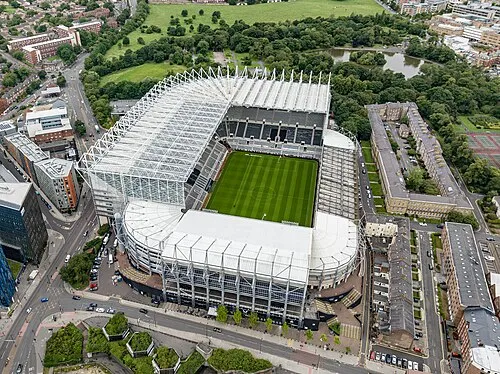 St James' Park Landmark, Newcastle upon Tyne7.5 km SE
-
Newburn Hall Landmark, Newcastle upon Tyne4.8 km SW
-
 Hancock Museum Museum, Newcastle upon Tyne7.5 km SE
-
Nuns Moor Natural site, England4.3 km SE
Other cities and towns in Newcastle upon Tyne
-
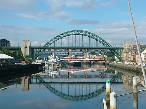 Newcastle upon Tyne City, Newcastle upon Tyne8 km SE
-
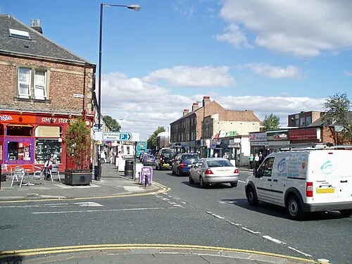 Gosforth Town, Newcastle upon Tyne6.2 km E
-
Blakelaw and North Fenham Municipality, Newcastle upon Tyne3.6 km SE
-
Dinnington Municipality, Newcastle upon Tyne4.6 km NE
-
Hazlerigg Municipality, Newcastle upon Tyne4.1 km E
-
North Gosforth Municipality, Newcastle upon Tyne5.7 km E
Sources & licences
Data last updated: