- Local time
- UTC+00:00
- Europe/London · UTC+00:00
- Elevation
- 73 m
- above sea level
- Airports
- NCL Newcastle International Airport8 km
- MME Teesside International Airport53 km
About St James' Park
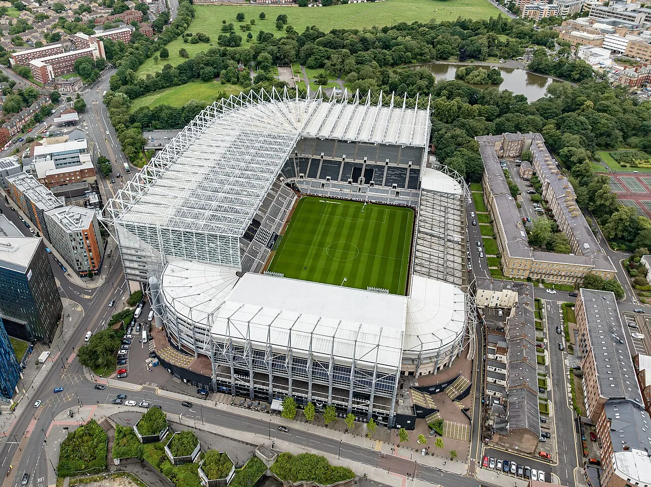
St James' Park is a landmark. Location: Newcastle upon Tyne, England.
St. James' Park is a football stadium in Newcastle upon Tyne, England. It is the home of Newcastle United. With a seating capacity of 52,719, it is the 9th largest football stadium in England. St. James' Park has been the home ground of Newcastle United since 1892 and has been used for football since 1880. Throughout its history, the desire for expansion has caused conflict with local residents and the local council.
Source: Wikipedia · CC BY-SA 4.0
Photos of St James' Park
-

SonoGrazy · CC BY-SA 4.0 -

Daniel from Glasgow, United Kingdom · CC BY 2.0 -

Andrew Tryon · CC BY-SA 2.0 -

Steve Daniels · CC BY-SA 2.0 -

Trevor Littlewood · CC BY-SA 2.0


Climate of St James' Park
Best months for sightseeingBest months for sightseeing: June–September.
This month · November
A cold month
Day 10° · Night 4° · Rain 58 mm
- Hottest month
- July (day 19°)
- Coldest month
- January (night 1°)
- Wettest month
- August (62 mm)
- Driest month
- February (39 mm)
Bars: average monthly low and high temperature. Below: precipitation. Monthly averages for 1970–2000 at about 18 km resolution, adjusted for elevation. Highlighted months are mild and relatively dry. Source: WorldClim 2.1 (CC BY 4.0).
Show values as a table
| Month | Jan | Feb | Mar | Apr | May | Jun | Jul | Aug | Sep | Oct | Nov | Dec |
|---|---|---|---|---|---|---|---|---|---|---|---|---|
| Average high (°C) | 7° | 7° | 9° | 11° | 14° | 17° | 19° | 19° | 17° | 13° | 10° | 8° |
| Average low (°C) | 1° | 2° | 2° | 3° | 5° | 8° | 11° | 11° | 9° | 6° | 4° | 2° |
| Precipitation (mm) | 56 | 39 | 53 | 46 | 49 | 50 | 48 | 62 | 56 | 54 | 58 | 58 |
Other places to visit in this season: June July August September
How to get to St James' Park
The nearest airport is Newcastle International Airport (NCL), 8 km to the northwest as the crow flies. The nearest large city is Newcastle upon Tyne, 1 km to the southeast.
Airports
- Newcastle International Airport (NCL) Newcastle upon Tyne, Tyne and Wear 8 kmnorthwest
- Teesside International Airport (MME) Darlington, Durham 53 kmsouth
- Leeds Bradford Airport (LBA) Leeds, West Yorkshire 124 kmsouth
Nearby large cities
- Newcastle upon Tyne Population: 300.1K 1 kmsoutheast
- Sunderland Population: 170.1K 17 kmsoutheast
- Middlesbrough Population: 142.7K 51 kmsoutheast
- York Population: 156.1K 119 kmsouth
- Leeds Population: 536.3K 131 kmsouth
Straight-line distances; road distances are longer. Airport data: OurAirports.
Day trips from St James' Park
Within 100 km: 682 historic and cultural sites, 1,189 natural sites, 252 lakes, rivers and coasts.
0–25 km160 places
- Saint Mary’s Island Island 15 kmNE
- Castle Island Island 21 kmN
- Match Island Island 8 kmSE
- Rocky Island Island 16 kmNE
25–60 km481 places
- Longhoughton Beach Beach 51 kmN
- Seaton Carew Beach Beach 45 kmSE
- Redcar Beach Beach 53 kmSE
- Coquet Island Island 40 kmN
60–100 km1,482 places
- Cocklawburn Beach Beach 87 kmN
- Cheswick Sands Beach 85 kmN
- Whitby Beach Beach 82 kmSE
- The Island Island 82 kmS
Straight-line distances.
Nearby attractions & nature
Everything nearby-
 Hancock Museum Museum, Newcastle upon Tyne0.8 km NE
-
 Discovery Museum Museum, Newcastle upon Tyne0.7 km S
-
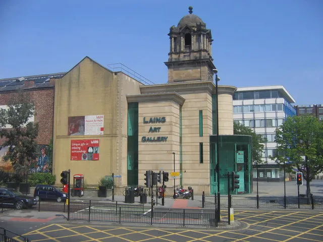 Laing Art Gallery Museum, Newcastle upon Tyne0.8 km E
-
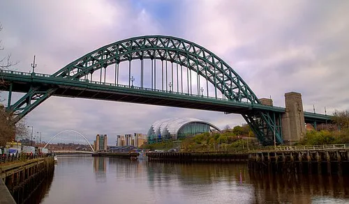 Tyne Bridge Landmark, Gateshead1.3 km SE
-
Blackfriars Friary Historic site, Newcastle upon Tyne0.4 km S
-
Life Science Musuem Museum, Newcastle upon Tyne0.8 km S
-
Holy Jesus Hospital Historic site, North Gosforth1 km SE
-
Newcastle upon Tyne Castle Historic site, Newcastle upon Tyne1 km SE
Nearest towns and villages
-
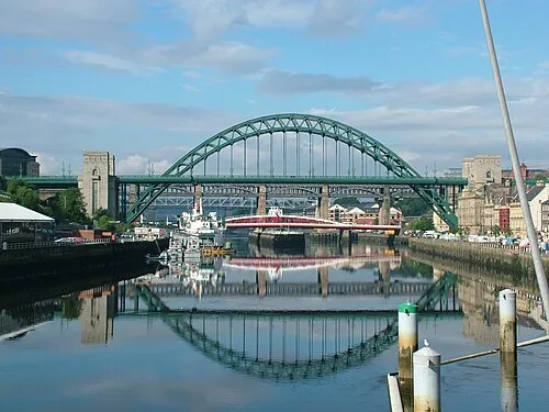 Newcastle upon Tyne City, Newcastle upon Tyne0.5 km SE
-
 Fenham Village, Newcastle upon Tyne1.4 km W
-
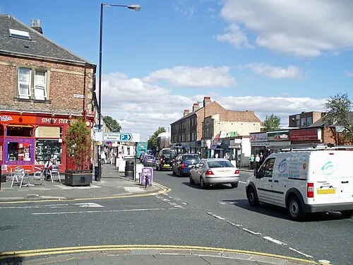 Gosforth Town, Newcastle upon Tyne2.8 km N
-
Gateshead City, Gateshead2 km SE
Sources & licences
Data last updated: · 2 independent sources