Fenham
Located in Newcastle upon Tyne, England Coordinates: 54°58′48″ N 1°38′32″ W
- Population
- 10,954
- 11K
- Elevation
- 15 m
- above sea level
- Local time
- UTC+00:00
- Europe/London · UTC+00:00
About Fenham
Fenham is a village. Location: Newcastle upon Tyne, England. Population: 10,954. Elevation: 15 m.
Fenham is an area of the west-end of Newcastle upon Tyne, in the county of Tyne and Wear, England. It lies to the west of the city centre, and is bounded on the north and east by a large area of open land known as the Town Moor. To the south lies Benwell, West Denton lies to the west, Blakelaw and Cowgate to the north, and Arthur's Hill and Spital Tongues to the east. Until 1974 it was in Northumberland. As of 2018, the area covers two wards of Newcastle: Wingrove Ward, and West Fenham Ward.
Read more on Wikipedia Text: Wikipedia contributors · CC BY-SA 4.0 · shortened
In comparison
- No. 4 of 4 places in Newcastle upon Tyne by population
- Nearest larger town: Newcastle upon Tyne, 2 km E
- 46 sights and natural places within 10 km Elswick, St James' Park
Climate of Fenham
Best months for sightseeing: June–September.
| Month | Jan | Feb | Mar | Apr | May | Jun | Jul | Aug | Sep | Oct | Nov | Dec |
|---|---|---|---|---|---|---|---|---|---|---|---|---|
| Average high (°C) | 7° | 8° | 10° | 11° | 14° | 17° | 20° | 20° | 17° | 14° | 10° | 8° |
| Average low (°C) | 2° | 2° | 3° | 4° | 6° | 9° | 11° | 11° | 9° | 7° | 4° | 3° |
| Precipitation (mm) | 56 | 39 | 53 | 46 | 49 | 50 | 48 | 62 | 56 | 54 | 58 | 58 |
Monthly averages for 1970–2000 at about 18 km resolution, adjusted for elevation. Highlighted months are mild and relatively dry. Source: WorldClim 2.1 (CC BY 4.0).
Airports nearest to Fenham
- Newcastle International Airport (NCL) Newcastle upon Tyne, Tyne and Wear 7 km
- Teesside International Airport (MME) Darlington, Durham 54 km
- Leeds Bradford Airport (LBA) Leeds, West Yorkshire 124 km
Straight-line distance; airports with scheduled flights only. Source: OurAirports (public domain).
Nearby attractions & nature
Everything nearby-
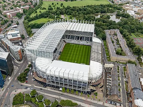 St James' Park Landmark, Newcastle upon Tyne1.4 km E
-
 Discovery Museum Museum, Newcastle upon Tyne1.7 km SE
-
 Hancock Museum Museum, Newcastle upon Tyne1.9 km E
-
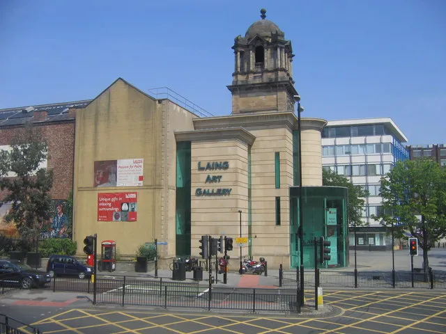 Laing Art Gallery Museum, Newcastle upon Tyne2.2 km E
-
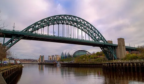 Tyne Bridge Landmark, Gateshead2.7 km SE
-
Elswick Landmark, Newcastle upon Tyne1.4 km S
Sources & licences
Data last updated: · 2 independent sources