Heaton
Located in Newcastle upon Tyne, England Coordinates: 54°59′00″ N 1°35′00″ W
- Elevation
- 42 m
- above sea level
- Local time
- UTC+00:00
- Europe/London · UTC+00:00
About Heaton
Heaton is a neighbourhood. Location: Newcastle upon Tyne, England.
Heaton is a district and suburb in the city of Newcastle upon Tyne, in Tyne and Wear, England, two miles (three kilometres) east of the city centre. It is bordered by the neighbouring areas of Walkergate to the east, Jesmond to the north west, Byker to the south, and Sandyford to the west. The name Heaton means high town, referring to the area "being situated on hills above the Ouseburn, a tributary of the River Tyne." The area is divided into South Heaton, and High Heaton, representing the north, respectively.
Read more on Wikipedia Text: Wikipedia contributors · CC BY-SA 4.0 · shortened
In comparison
- Nearest larger town: Newcastle upon Tyne, 2 km SW
- 47 sights and natural places within 10 km Barn @ The Biscuit factory, Baltic Art Centre
Nearby attractions & nature
Everything nearby-
 Laing Art Gallery Museum, Newcastle upon Tyne1.9 km SW
-
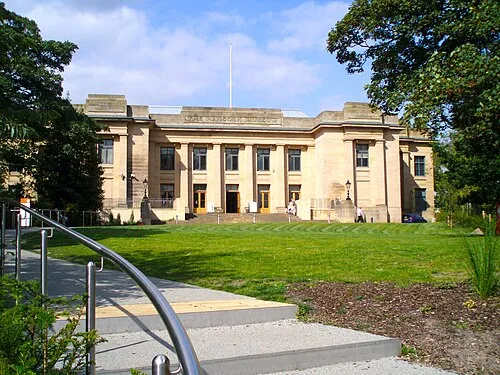 Hancock Museum Museum, Newcastle upon Tyne1.9 km W
-
 Tyne Bridge Landmark, Gateshead2.2 km SW
-
Barn @ The Biscuit factory Museum, Newcastle upon Tyne1.2 km SW
-
 St James' Park Landmark, Newcastle upon Tyne2.6 km W
-
 Gateshead International Stadium Landmark, Lamesley2.5 km S
Sources & licences
Data last updated: · 2 independent sources