Harrogate District
Located in North Yorkshire, England Coordinates: 54°04′35″ N 1°35′18″ W
- Population
- 156,312
- 156.3K
- Elevation
- 104 m
- above sea level
- Local time
- UTC+00:00
- Europe/London · UTC+00:00
- Places inside
- 156
- listed under Harrogate District
About Harrogate District
Harrogate District is a municipality. Location: North Yorkshire, England. Population: 156,312. Elevation: 104 m.
In comparison
- Most populous of 7 places in North Yorkshire
- Nearest larger town: Leeds, 31 km S
- 15 sights and natural places within 10 km Horse Hill, Markington
- Listed here: Village: 141, Neighbourhood: 13, Landmark: 1, Town: 1
Airports nearest to Harrogate District
- Leeds Bradford Airport (LBA) Leeds, West Yorkshire 24 km
- Teesside International Airport (MME) Darlington, Durham 49 km
- Manchester Airport (MAN) Manchester, Greater Manchester 93 km
Straight-line distance; airports with scheduled flights only. Source: OurAirports (public domain).
Places in Harrogate District
156 places-
Harrogate Town89.1K
-
Pannal Village2.2K
-
Aldfield Village
-
Almsford Bridge Landmark
-
Arkendale Village
-
Asenby Village
-
Askwith Village
-
Azerley Village
-
Baldersby Village
-
Bewerley Village
-
Bilton-in-Ainsty with Bickerton Village
-
Birstwith Village
-
Bishop Monkton Village
-
Bishop Thornton Village
-
Blubberhouses Village
-
Boroughbridge Village
-
Brearton Village
-
Bridge Hewick Village
-
Burton Leonard Village
-
Burton-on-Yore Village
-
Castley Village
-
Cattal Village
-
Clint cum Hamlets Village
-
Colsterdale Village
-
Coneythorpe and Clareton Village
-
Copgrove Village
-
Copt Hewick Village
-
Crimple Neighbourhood
-
Cundall with Leckby Village
-
Dacre Village
-
Daw Cross Neighbourhood
-
Denton Village
-
Dishforth Village
-
Dunsforths Village
-
Eavestone Village
-
Ellenthorpe Village
-
Ellingstring Village
-
Ellington High and Low Village
-
Farnham Village
-
Farnley Village
-
Fearby Village
-
Felliscliffe Village
-
Ferrensby Village
-
Fewston Village
-
Flaxby Village
-
Follifoot Village
-
Fountains Earth Village
-
Givendale Village
-
Goldsborough Village
-
Grantley Village
-
Great Ouseburn Village
-
Great Ribston with Walshford Village
-
Great Timble Village
-
Green Hammerton Village
-
Grewelthorpe Village
-
Hampsthwaite Village
-
Harlow Hill Neighbourhood
-
Hartwith cum Winsley Village
-
Haverah Park Village
Nearby attractions & nature
Everything nearby-
River Skell River, England6.8 km N
-
River Laver River, England7.9 km NE
-
Hack Fall Natural site, England12 km N
-
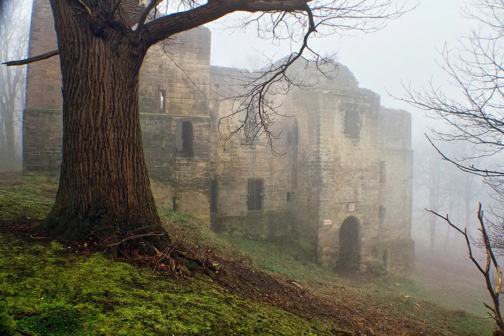 Harewood Castle Historic site, Harewood20 km S
-
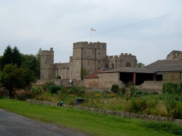 Snape Castle Historic site, Snape with Thorp20 km N
-
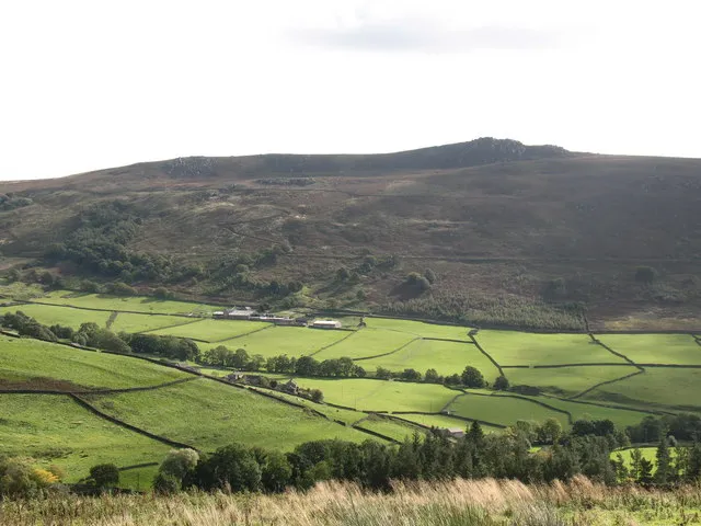 Simon's Seat Mountain, Barden20 km W
-
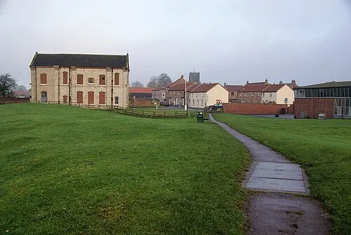 Thirsk Castle Historic site, Thirsk23 km NE
-
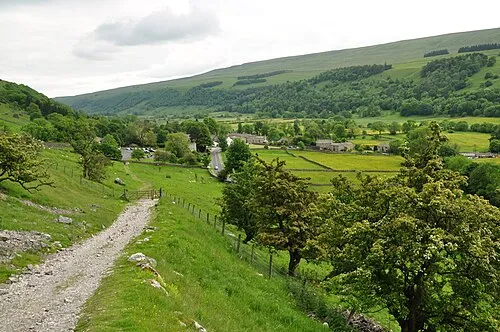 Wharfedale Natural site, England23 km SE
Other cities and towns in North Yorkshire
-
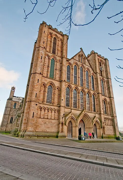 Ripon Town, Ripon7.7 km NE
-
Hambleton Municipality, North Yorkshire25 km NE
-
Knaresborough Town, Knaresborough11 km SE
-
Richmondshire District Municipality, North Yorkshire38 km NW
-
Craven District Municipality, North Yorkshire39 km W
-
Selby District Municipality, North Yorkshire45 km SE
Sources & licences
Data last updated: