Harrogate District
Located in North Yorkshire, England Coordinates: 54°04′35″ N 1°35′18″ W
- Population
- 156,312
- 156.3K
- Elevation
- 104 m
- above sea level
- Local time
- UTC+00:00
- Europe/London · UTC+00:00
- Places inside
- 156
- listed under Harrogate District
- Airports
- LBA Leeds Bradford Airport24 km
- MME Teesside International Airport49 km
About Harrogate District
Harrogate District is a municipality. Location: North Yorkshire, England. Population: 156,312. Elevation: 104 m. The best months to visit are June–August. The nearest airport is Leeds Bradford Airport (24 km). Nearby sights include River Skell and River Laver.
Photos of Harrogate District
-
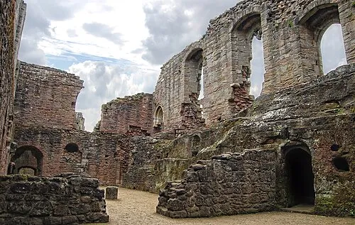
Spofforth Castle TJBlackwell · CC BY 3.0 -
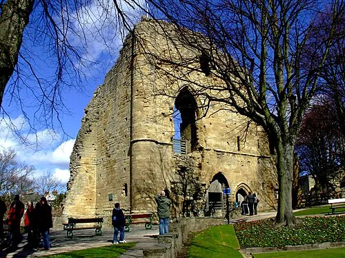
Knaresborough Castle Redvers · CC BY 2.0 -
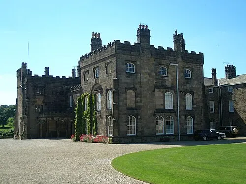
Ripley Castle Dposte46 · Public domain


Climate of Harrogate District
Best months for sightseeingBest months for sightseeing: June–August.
This month · November
A cold month
Day 9° · Night 3° · Rain 74 mm
- Hottest month
- July (day 20°)
- Coldest month
- January (night 1°)
- Wettest month
- December (80 mm)
- Driest month
- April (54 mm)
Bars: average monthly low and high temperature. Below: precipitation. Monthly averages for 1970–2000 at about 18 km resolution, adjusted for elevation. Highlighted months are mild and relatively dry. Source: WorldClim 2.1 (CC BY 4.0).
Show values as a table
| Month | Jan | Feb | Mar | Apr | May | Jun | Jul | Aug | Sep | Oct | Nov | Dec |
|---|---|---|---|---|---|---|---|---|---|---|---|---|
| Average high (°C) | 6° | 6° | 9° | 11° | 14° | 17° | 20° | 19° | 16° | 13° | 9° | 7° |
| Average low (°C) | 1° | 1° | 2° | 3° | 6° | 9° | 11° | 11° | 9° | 6° | 3° | 2° |
| Precipitation (mm) | 78 | 55 | 61 | 54 | 54 | 61 | 54 | 67 | 65 | 71 | 74 | 80 |
How to get to Harrogate District
The nearest airport is Leeds Bradford Airport (LBA), 24 km to the south as the crow flies. The nearest large city is Leeds, 31 km to the south.
Airports
- Leeds Bradford Airport (LBA) Leeds, West Yorkshire 24 kmsouth
- Teesside International Airport (MME) Darlington, Durham 49 kmnorth
- Manchester Airport (MAN) Manchester, Greater Manchester 93 kmsouthwest
Nearby large cities
- Leeds Population: 536.3K 31 kmsouth
- Bradford Population: 366.2K 33 kmsouth
- York Population: 156.1K 36 kmeast
- Wakefield Population: 109.8K 44 kmsouth
- Huddersfield Population: 149K 49 kmsouth
Straight-line distances; road distances are longer. Airport data: OurAirports.
Day trips from Harrogate District
Within 100 km: 690 historic and cultural sites, 1,252 natural sites, 235 lakes, rivers and coasts.
0–25 km99 places
- The Island Island 19 kmN
- The Island Island 9 kmE
- The Island Island 23 kmE
- Lud Stream Islands Island 21 kmSW
25–60 km581 places
- Great Britain Island 28 kmW
- Bird Island Island 55 kmW
- The Island Island 47 kmE
- Beal Island Island 47 kmSE
60–100 km1,497 places
- Seaton Carew Beach Beach 70 kmN
- Redcar Beach Beach 69 kmNE
- Whitby Beach Beach 77 kmNE
- North Beach Beach 93 kmE
Straight-line distances.
Harrogate District and similar cities
Side by side with cities of similar size in the same country: population, elevation and climate.
| Measure | Harrogate District | York | Enfield | Telford |
|---|---|---|---|---|
| Population | 156.3K | 156.1K | 156.9K | 155.6K |
| Elevation | 104 m | 17 m | 33 m | 163 m |
| Summer day (hottest month) | 20° | 21° | 23° | 20° |
| Winter night (coldest month) | 1° | 1° | 2° | 0° |
| Annual rainfall | 774 mm | 595 mm | 624 mm | 716 mm |
| Best months | Jun–Aug | Jun–Aug | Jun–Aug | Jun–Aug |
| Distance | — | 36 km | 288 km | 166 km |
Climate values are 1970–2000 monthly averages; straight-line distance.
Places in Harrogate District
156 placesCities & villages60
- Healey · Village
- High and Low Bishopside · Village
- High Harrogate · Neighbourhood
- Humberton · Village
- Hunsingore · Village
- Hutton Conyers · Village
- Ilton-cum-Pott · Village
- Jennyfield · Neighbourhood
- Kearby with Netherby · Village
- Killinghall · Village
- Kirby Hall · Village
- Kirby Hill · Village
- Kirkby Malzeard · Village
- Kirkby Overblow · Village
- Kirk Deighton · Village
- Kirk Hammerton · Village
- Knaresborough · Village
- Langthorpe · Village
- Laverton · Village
- Leathley · Village
- Lindley · Village
- Lindrick with Studley Royal and Fountains · Village
- Little Ouseburn · Village
- Little Ribston · Village
- Littlethorpe · Village
- Little Timble · Village
- Long Marston · Village
- Low Harrogate · Neighbourhood
- Markingfield Hall · Village
- Markington with Wallerthwaite · Village
- Marton cum Grafton · Village
- Marton-le-Moor · Village
- Masham · Village
- Melmerby · Village
- Menwith with Darley · Village
- Middleton · Village
- Middleton Quernhow · Village
- Milby · Village
- Moor Monkton · Village
- Nesfield with Langbar · Village
- Newall with Clifton · Village
- Newby with Mulwith · Village
- New Park · Neighbourhood
- Nidd · Village
- North Deighton · Village
- North Rigton · Village
- North Stainley with Sleningford · Village
- Norton Conyers · Village
- Norton-le-Clay · Village
- Norwood · Village
- Nun Monkton · Village
- Oakdale · Neighbourhood
- Oatlands · Neighbourhood
- Old Bilton · Village
- Pannal · Village
- Pannal Ash · Neighbourhood
- Plompton · Village
- Rainton with Newby · Village
- Ripley · Village
- Ripon · Village
Nearby attractions & nature
Everything nearby-
River Skell River, England6.8 km N
-
River Laver River, England7.9 km NE
-
Hack Fall Natural site, England12 km N
-
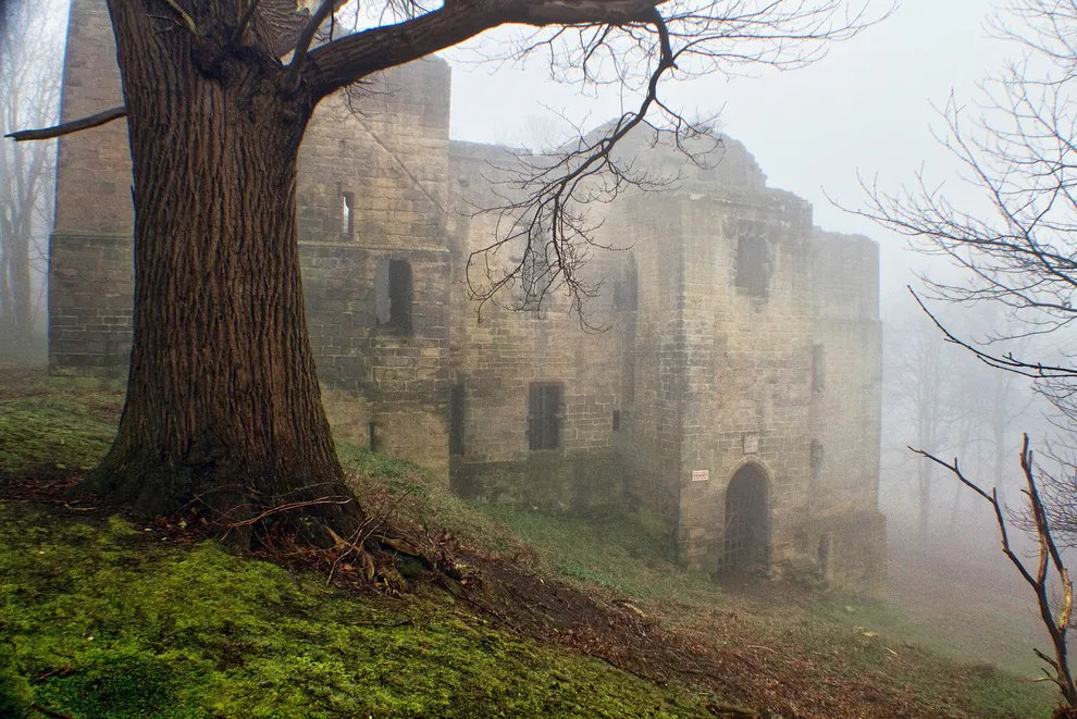 Harewood Castle Historic site, Harewood20 km S
-
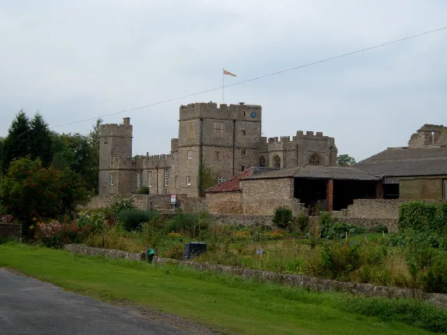 Snape Castle Historic site, Snape with Thorp20 km N
-
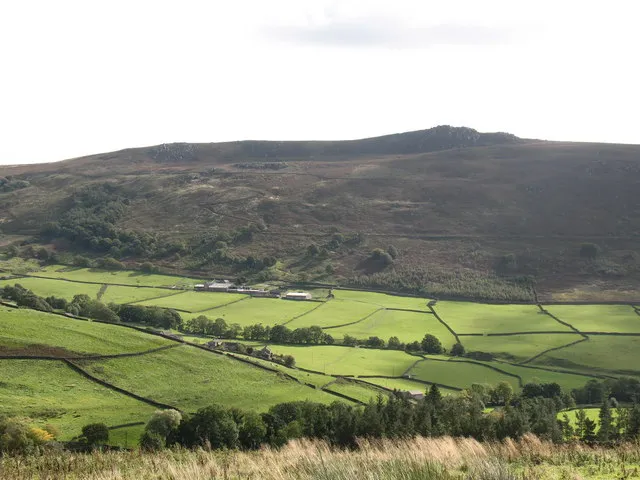 Simon's Seat Mountain, Barden20 km W
-
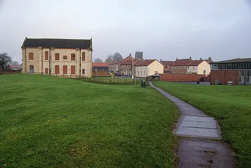 Thirsk Castle Historic site, Thirsk23 km NE
-
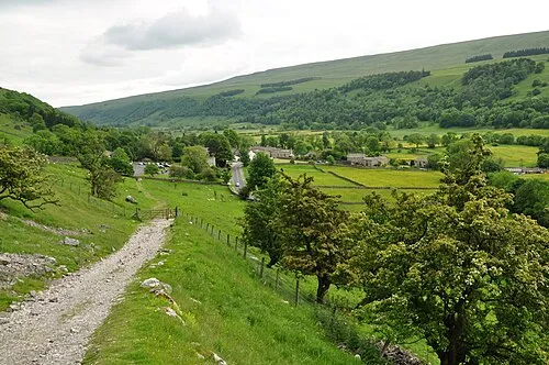 Wharfedale Natural site, England23 km SE
Other cities and towns in North Yorkshire
-
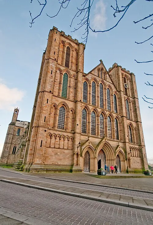 Ripon Town, Ripon7.7 km NE
-
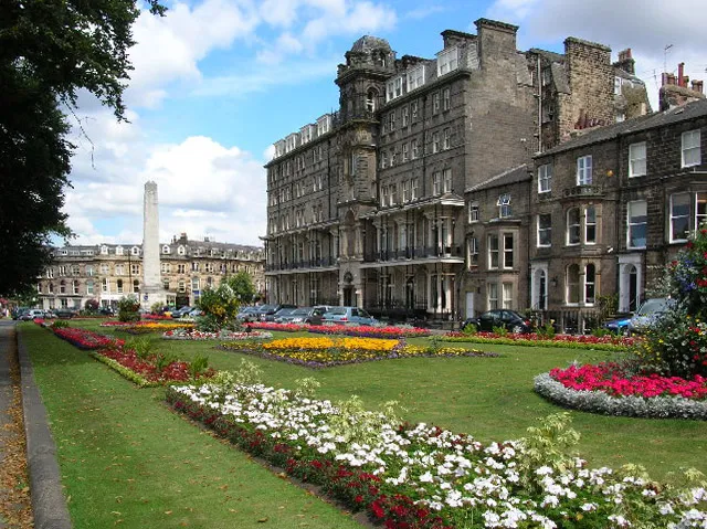 Harrogate Town, Harrogate District10 km S
-
Hambleton Municipality, North Yorkshire25 km NE
-
Knaresborough Town, Knaresborough11 km SE
-
Richmondshire District Municipality, North Yorkshire38 km NW
-
Craven District Municipality, North Yorkshire39 km W
Sources & licences
Data last updated: