- Elevation
- 115 m
- above sea level
- Local time
- UTC+00:00
- Europe/London · UTC+00:00
- Airports
- MME Teesside International Airport40 km
- LBA Leeds Bradford Airport51 km
About Riggway
Riggway is a mountain. Location: Byland with Wass, Ryedale District. Elevation: 115 m. The best months to visit are June–August. The nearest airport is Teesside International Airport (40 km). Nearby sights include Craykeland Hill and Brink Hill.
Photos of Riggway
-
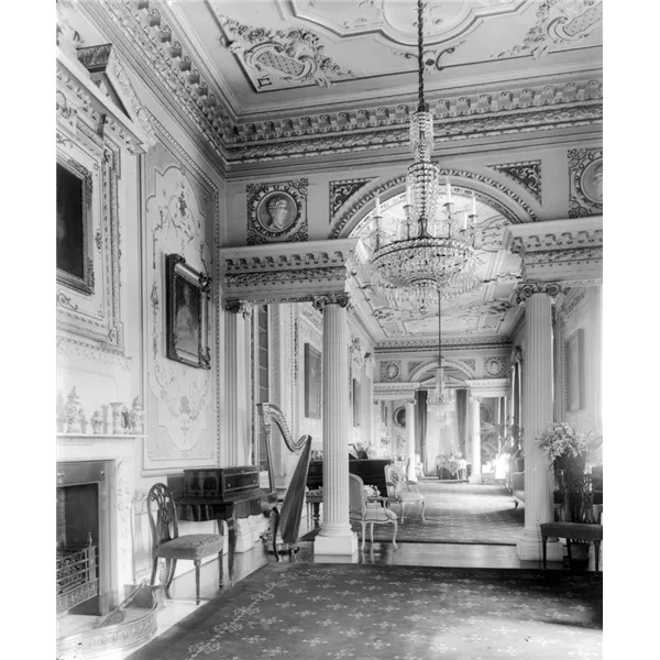
Gilling Castle Unknown author Unknown author · Public domain -
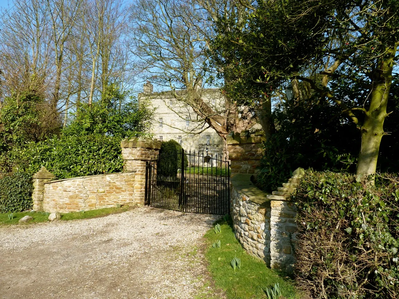
Crayke Castle Paul Buckingham · CC BY-SA 2.0 -
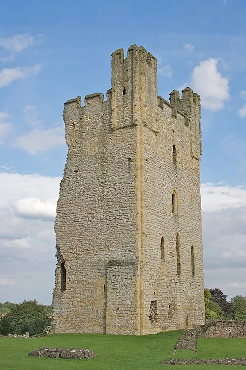
Helmsley Castle Mike Peel · CC BY-SA 4.0


Climate of Riggway
Best months for sightseeingBest months for sightseeing: June–August.
This month · November
A cold month
Day 9° · Night 3° · Rain 77 mm
- Hottest month
- July (day 19°)
- Coldest month
- January (night 1°)
- Wettest month
- December (79 mm)
- Driest month
- April (51 mm)
Bars: average monthly low and high temperature. Below: precipitation. Monthly averages for 1970–2000 at about 18 km resolution, adjusted for elevation. Highlighted months are mild and relatively dry. Source: WorldClim 2.1 (CC BY 4.0).
Show values as a table
| Month | Jan | Feb | Mar | Apr | May | Jun | Jul | Aug | Sep | Oct | Nov | Dec |
|---|---|---|---|---|---|---|---|---|---|---|---|---|
| Average high (°C) | 6° | 6° | 8° | 11° | 14° | 17° | 19° | 19° | 16° | 13° | 9° | 7° |
| Average low (°C) | 1° | 1° | 2° | 3° | 5° | 8° | 10° | 10° | 9° | 6° | 3° | 2° |
| Precipitation (mm) | 78 | 54 | 62 | 51 | 54 | 62 | 59 | 67 | 67 | 77 | 77 | 79 |
How to get to Riggway
The nearest airport is Teesside International Airport (MME), 40 km to the northwest as the crow flies. For international flights: Leeds Bradford Airport (LBA) (51 km). The nearest large city is York, 27 km to the south.
Airports
- Teesside International Airport (MME) Darlington, Durham 40 kmnorthwest
- Leeds Bradford Airport (LBA) Leeds, West Yorkshire 51 kmsouthwest
- Humberside Airport (HUY) Grimsby, Lincolnshire 86 kmsoutheast
Nearby large cities
- York Population: 156.1K 27 kmsouth
- Middlesbrough Population: 142.7K 43 kmnorth
- Leeds Population: 536.3K 52 kmsouthwest
- Bradford Population: 366.2K 60 kmsouthwest
- Wakefield Population: 109.8K 62 kmsouthwest
Straight-line distances; road distances are longer. Airport data: OurAirports.
Day trips from Riggway
Within 100 km: 481 historic and cultural sites, 774 natural sites, 162 lakes, rivers and coasts.
0–25 km110 places
- The Island Island 24 kmSW
- The Island Island 19 kmS
- Cherry Islands Island 22 kmSE
- Hambleton Hills Mountain 7 kmNW
25–60 km428 places
- Seaton Carew Beach Beach 52 kmN
- Redcar Beach Beach 47 kmN
- Whitby Beach Beach 46 kmNE
- The Island Island 35 kmW
60–100 km879 places
- Great Britain Island 61 kmW
- North Beach Beach 64 kmE
- Fraisethorpe Beach Beach 62 kmE
- Sunk Island Island 93 kmSE
Straight-line distances.
Nearest towns and villages
-
Ampleforth Village, Ampleforth1.6 km E
-
Wass Village, Byland with Wass1.8 km NW
-
Byland Abbey Village, Byland with Wass2.1 km NW
-
Newburgh Village, Hambleton2 km SW
-
Ampleforth Village, Ryedale District2.2 km E
-
Oswaldkirk Village, Oswaldkirk5.7 km E
Nearby attractions & nature
Everything nearby-
Craykeland Hill Mountain, Byland with Wass0.7 km W
-
Brink Hill Mountain, Newburgh2.8 km W
-
The Scar Mountain, Gilling East3.1 km SE
-
The Mount Mountain, Oulston3.2 km S
-
Agars Bank Mountain, Ampleforth3.9 km E
-
Byland Abbey Historic site, Byland with Wass2.1 km NW
-
Yearsley Cross Mountain, Yearsley4.1 km SE
-
Thicket Hill Mountain, Kilburn High and Low4.7 km W
Sources & licences
Data last updated: