- Elevation
- 326 m
- above sea level
- Local time
- UTC+00:00
- Europe/London · UTC+00:00
- Airports
- NCL Newcastle International Airport41 km
- MME Teesside International Airport92 km
About Midhopelaw Pike
Midhopelaw Pike is a mountain. Location: Bellingham, Northumberland. Elevation: 326 m. The best months to visit are June–August. The nearest airport is Newcastle International Airport (41 km). Nearby sights include Gray Stone and Tarret Burn.
Photos of Midhopelaw Pike
-
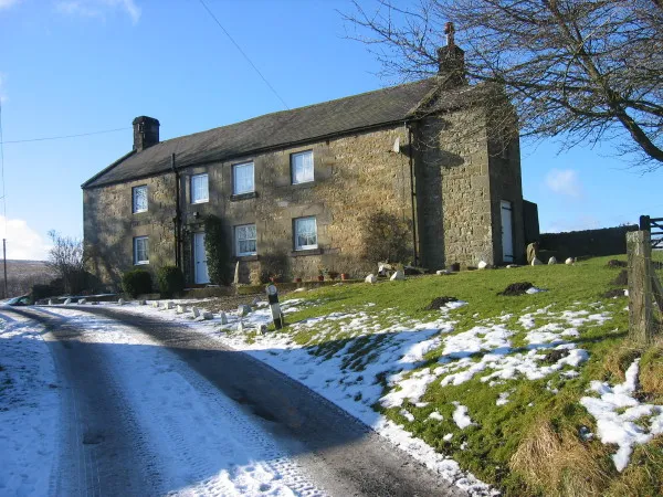
Dally Castle Les Hull · CC BY-SA 2.0 -
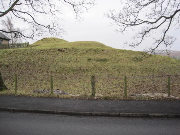
Bellingham Castle Les Hull · CC BY-SA 2.0 -
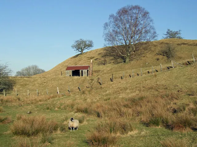
Tarset Castle Peter McDermott · CC BY-SA 2.0


Climate of Midhopelaw Pike
Best months for sightseeingBest months for sightseeing: June–August.
This month · November
A wet month
Day 7° · Night 1° · Rain 121 mm
- Hottest month
- July (day 18°)
- Coldest month
- January (night -1°)
- Wettest month
- January (129 mm)
- Driest month
- April (74 mm)
Bars: average monthly low and high temperature. Below: precipitation. Monthly averages for 1970–2000 at about 18 km resolution, adjusted for elevation. Highlighted months are mild and relatively dry. Source: WorldClim 2.1 (CC BY 4.0).
Show values as a table
| Month | Jan | Feb | Mar | Apr | May | Jun | Jul | Aug | Sep | Oct | Nov | Dec |
|---|---|---|---|---|---|---|---|---|---|---|---|---|
| Average high (°C) | 5° | 5° | 7° | 10° | 13° | 16° | 18° | 18° | 15° | 11° | 7° | 6° |
| Average low (°C) | -1° | -1° | 0° | 1° | 4° | 7° | 9° | 9° | 7° | 4° | 1° | 0° |
| Precipitation (mm) | 129 | 90 | 102 | 74 | 76 | 75 | 81 | 98 | 102 | 121 | 121 | 121 |
How to get to Midhopelaw Pike
The nearest airport is Newcastle International Airport (NCL), 41 km to the east as the crow flies. The nearest large city is Newcastle upon Tyne, 48 km to the southeast.
Airports
- Newcastle International Airport (NCL) Newcastle upon Tyne, Tyne and Wear 41 kmeast
- Teesside International Airport (MME) Darlington, Durham 92 kmsoutheast
- Edinburgh Airport (EDI) Ingliston, Edinburgh 110 kmnorthwest
Nearby large cities
- Newcastle upon Tyne Population: 300.1K 48 kmsoutheast
- Sunderland Population: 170.1K 65 kmsoutheast
- Middlesbrough Population: 142.7K 95 kmsoutheast
- Edinburgh Population: 515K 104 kmnorthwest
- Glasgow Population: 626.4K 147 kmnorthwest
Straight-line distances; road distances are longer. Airport data: OurAirports.
Day trips from Midhopelaw Pike
Within 100 km: 711 historic and cultural sites, 2,304 natural sites, 475 lakes, rivers and coasts.
0–25 km205 places
- Gold Island Island 10 kmS
- The Island Island 14 kmSE
- Greenlee Lough Lake 19 kmS
- Catcleugh Reservoir Lake 18 kmNW
25–60 km1,118 places
- Longhoughton Beach Beach 52 kmNE
- Saint Mary’s Island Island 54 kmE
- Coquet Island Island 50 kmE
- Wooden Anna Island 48 kmN
60–100 km2,167 places
- Powillimount Beach Beach 89 kmW
- Seacliff Beach Beach 100 kmN
- Cocklawburn Beach Beach 65 kmN
- Cheswick Sands Beach 64 kmN
Straight-line distances.
Nearest towns and villages
-
Bellingham Village, Bellingham4 km S
-
Greenhaugh Village, Tarset2.9 km W
-
Lanehead Village, Tarset3.5 km SW
-
Hole Village, Bellingham4.9 km SE
-
Tarset Village, Tarset4.2 km W
-
Otterburn Village, Otterburn8.7 km NE
Nearby attractions & nature
Everything nearby-
Gray Stone Mountain, Bellingham3.4 km N
-
Tarret Burn River, England2.5 km W
-
Corsenside Common Mountain, Corsenside4.2 km E
-
Charlton Tower Landmark, Bellingham2.7 km SW
-
Bellingham Castle Historic site, Bellingham4.2 km SE
-
Tarset Castle Historic site, Tarset3.9 km SW
-
Padon Hill Mountain, Otterburn5.7 km N
-
Tarset Burn River, England4.7 km SW
Sources & licences
Data last updated: