- Local time
- UTC+00:00
- Europe/London · UTC+00:00
- Elevation
- 174 m
- above sea level
- Airports
- NCL Newcastle International Airport38 km
- MME Teesside International Airport73 km
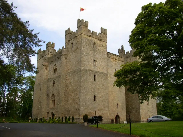
About Langley Castle
Langley Castle is a historic site. Location: Haydon, Northumberland.
Langley Castle is a restored medieval tower house, in the village of Langley in the valley of the River South Tyne. The castle is 3 miles (5 km) south of Haydon Bridge, in Northumberland, England. Langley Castle is a Grade I listed building. The property switched ownership several times over hundreds of years until Langley Castle was finally built in 1364. The castle was built in an H shape with four floors, and has four towers on each corner. The castle has several other unique architectural features.
Source: Wikipedia · CC BY-SA 4.0
At a glance
- Heritage designation
- Grade I listed building
Source: Wikidata
Photos of Langley Castle
-

Mainlymazza · CC BY-SA 4.0 -

Victuallers · CC BY-SA 4.0 -

Victuallers · CC BY-SA 4.0 -
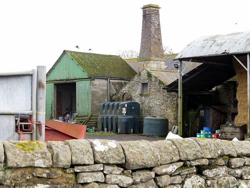
Thornton Tower Andrew Curtis · CC BY-SA 2.0


Climate of Langley Castle
Best months for sightseeingBest months for sightseeing: June–August.
This month · November
A wet month
Day 9° · Night 3° · Rain 107 mm
- Hottest month
- July (day 19°)
- Coldest month
- January (night 0°)
- Wettest month
- January (115 mm)
- Driest month
- April (67 mm)
Bars: average monthly low and high temperature. Below: precipitation. Monthly averages for 1970–2000 at about 18 km resolution, adjusted for elevation. Highlighted months are mild and relatively dry. Source: WorldClim 2.1 (CC BY 4.0).
Show values as a table
| Month | Jan | Feb | Mar | Apr | May | Jun | Jul | Aug | Sep | Oct | Nov | Dec |
|---|---|---|---|---|---|---|---|---|---|---|---|---|
| Average high (°C) | 6° | 6° | 8° | 11° | 14° | 17° | 19° | 19° | 16° | 13° | 9° | 7° |
| Average low (°C) | 0° | 1° | 2° | 3° | 5° | 8° | 10° | 10° | 8° | 6° | 3° | 1° |
| Precipitation (mm) | 115 | 80 | 93 | 67 | 67 | 69 | 72 | 88 | 88 | 102 | 107 | 112 |
How to get to Langley Castle
The nearest airport is Newcastle International Airport (NCL), 38 km to the east as the crow flies. The nearest large city is Newcastle upon Tyne, 41 km to the east.
Airports
- Newcastle International Airport (NCL) Newcastle upon Tyne, Tyne and Wear 38 kmeast
- Teesside International Airport (MME) Darlington, Durham 73 kmsoutheast
- Leeds Bradford Airport (LBA) Leeds, West Yorkshire 127 kmsouth
Nearby large cities
- Newcastle upon Tyne Population: 300.1K 41 kmeast
- Sunderland Population: 170.1K 57 kmeast
- Middlesbrough Population: 142.7K 78 kmsoutheast
- Edinburgh Population: 515K 126 kmnorthwest
- Burnley Population: 149.4K 129 kmsouth
Straight-line distances; road distances are longer. Airport data: OurAirports.
Day trips from Langley Castle
Within 100 km: 806 historic and cultural sites, 2,445 natural sites, 467 lakes, rivers and coasts.
0–25 km174 places
- Broomhaugh Island Island 11 kmE
- Gold Island Island 16 kmN
- The Island Island 13 kmN
- Tindale Tarn Lake 22 kmW
25–60 km1,016 places
- Saint Mary’s Island Island 53 kmE
- Kirkland Scar Island 59 kmW
- Michell's Island Island 58 kmSE
- Fishgarth Holm Island 36 kmW
60–100 km2,528 places
- High Moor Mountain 100 kmSW
- Powillimount Beach Beach 85 kmW
- Cocklawburn Beach Beach 88 kmN
- Cheswick Sands Beach 87 kmN
Straight-line distances.
Nearby attractions & nature
Everything nearby-
Harsondale Law Mountain, Haydon2.9 km SW
-
Staward Peel Landmark, Haydon3.9 km SW
-
Catton Beacon Mountain, Allendale3.4 km S
-
River Allen River, England2.8 km NW
-
Haydon Fell Mountain, Haydon4.4 km N
-
Thornton Tower Landmark, Newbrough7.1 km NE
-
Settlingstones Tower Landmark, Newbrough5.9 km N
-
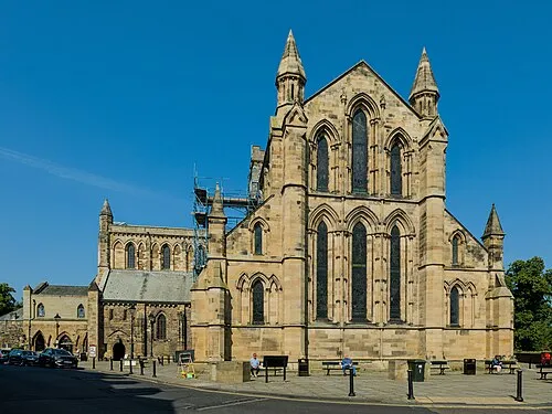 Hexham Abbey Attraction, Hexham10 km E
Nearest towns and villages
-
Haydon Bridge Village, Haydon2.2 km N
-
Elrington Village, Haydon2.8 km E
-
Langley Village, Allendale2.6 km S
-
Allendale Town Village, Allendale6.6 km S
Sources & licences
Data last updated: · 2 independent sources