- Elevation
- 219 m
- above sea level
- Local time
- UTC+00:00
- Europe/London · UTC+00:00
- Airports
- NCL Newcastle International Airport38 km
- MME Teesside International Airport98 km
About Wreighill Pike
Wreighill Pike is a mountain. Location: Hepple, Northumberland. Elevation: 219 m. The best months to visit are June–August. The nearest airport is Newcastle International Airport (38 km). Nearby sights include Farnham Tower and Harehaugh Hill.
Photos of Wreighill Pike
-
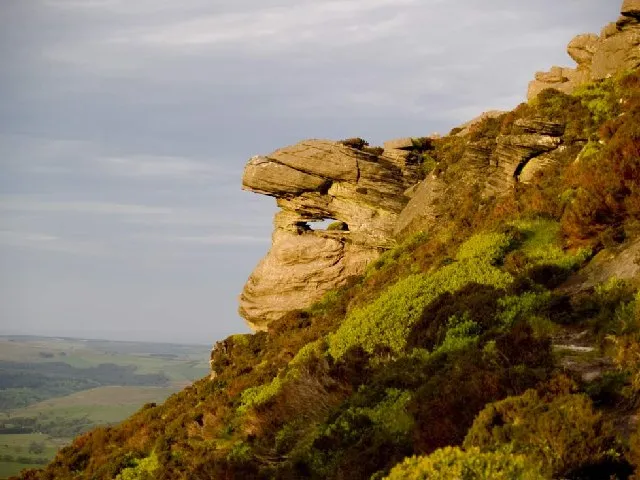
Tosson Hill JohnDal · CC BY-SA 2.0 -
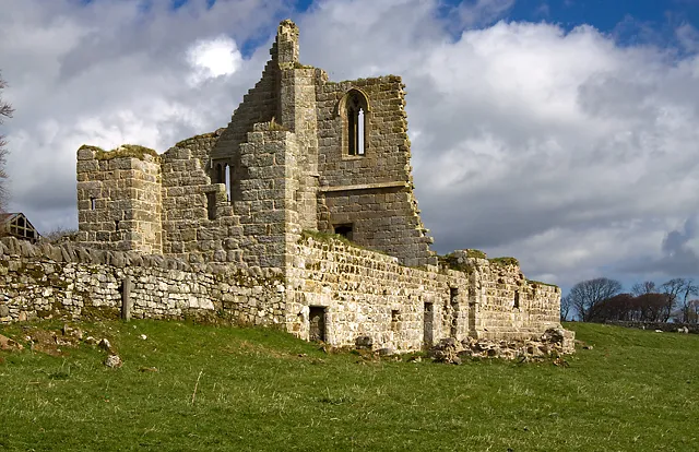
Cartington Castle Mike Searle · CC BY-SA 2.0 -
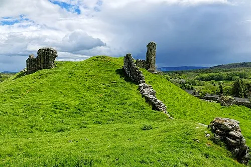
Harbottle Castle Worldfootage · CC BY-SA 4.0


Climate of Wreighill Pike
Best months for sightseeingBest months for sightseeing: June–August.
This month · November
A wet month
Day 8° · Night 2° · Rain 107 mm
- Hottest month
- July (day 19°)
- Coldest month
- January (night 0°)
- Wettest month
- January (112 mm)
- Driest month
- April (68 mm)
Bars: average monthly low and high temperature. Below: precipitation. Monthly averages for 1970–2000 at about 18 km resolution, adjusted for elevation. Highlighted months are mild and relatively dry. Source: WorldClim 2.1 (CC BY 4.0).
Show values as a table
| Month | Jan | Feb | Mar | Apr | May | Jun | Jul | Aug | Sep | Oct | Nov | Dec |
|---|---|---|---|---|---|---|---|---|---|---|---|---|
| Average high (°C) | 5° | 6° | 8° | 10° | 14° | 16° | 19° | 18° | 15° | 12° | 8° | 6° |
| Average low (°C) | 0° | 0° | 1° | 2° | 5° | 7° | 9° | 9° | 7° | 5° | 2° | 1° |
| Precipitation (mm) | 112 | 79 | 90 | 68 | 71 | 69 | 74 | 90 | 89 | 105 | 107 | 106 |
How to get to Wreighill Pike
The nearest airport is Newcastle International Airport (NCL), 38 km to the southeast as the crow flies. The nearest large city is Newcastle upon Tyne, 46 km to the southeast.
Airports
- Newcastle International Airport (NCL) Newcastle upon Tyne, Tyne and Wear 38 kmsoutheast
- Teesside International Airport (MME) Darlington, Durham 98 kmsoutheast
- Edinburgh Airport (EDI) Ingliston, Edinburgh 110 kmnorthwest
Nearby large cities
- Newcastle upon Tyne Population: 300.1K 46 kmsoutheast
- Sunderland Population: 170.1K 62 kmsoutheast
- Middlesbrough Population: 142.7K 97 kmsoutheast
- Edinburgh Population: 515K 102 kmnorthwest
- Dundee Population: 148.2K 142 kmnorthwest
Straight-line distances; road distances are longer. Airport data: OurAirports.
Day trips from Wreighill Pike
Within 100 km: 633 historic and cultural sites, 1,544 natural sites, 377 lakes, rivers and coasts.
0–25 km262 places
- Carr's Island Island 17 kmE
- Catcleugh Reservoir Lake 24 kmW
- Cushat Law Mountain 13 kmNW
- The Cheviot Mountain 20 kmN
25–60 km825 places
- Cocklawburn Beach Beach 47 kmN
- Cheswick Sands Beach 46 kmN
- Longhoughton Beach Beach 31 kmNE
- South Wamses Island 44 kmNE
60–100 km1,467 places
- Portobello Beach Beach 99 kmNW
- Gullane Beach Beach 96 kmNW
- Seacliff Beach Beach 91 kmNW
- Seaton Carew Beach Beach 91 kmSE
Straight-line distances.
Nearest towns and villages
-
Hepple Village, Hepple1.6 km S
-
Flotterton Village, Hepple1.7 km E
-
Thropton Village, Thropton4.7 km E
-
Holystone Village, Harbottle2.7 km SW
-
Sharperton Village, Harbottle2.9 km NW
-
Snitter Municipality, Northumberland3.1 km NE
Nearby attractions & nature
Everything nearby-
Farnham Tower Landmark, Hepple1.3 km W
-
Harehaugh Hill Mountain, Harbottle3.1 km SW
-
Tosson Hill Mountain, Hepple4.6 km SE
-
Dues Hill Mountain, Harbottle3.2 km SW
-
Hepple Tower Landmark, Hepple1.6 km S
-
Flotterton Tower Landmark, Hepple1.8 km E
-
Simonside Mountain, Whitton and Tosson5.5 km SE
-
Darden Rigg Mountain, Hepple5.7 km S
Sources & licences
Data last updated: