Juniper
Located in Hexhamshire Low Quarter, Northumberland Coordinates: 54°55′30″ N 2°05′30″ W

- Elevation
- 155 m
- above sea level
- Local time
- UTC+00:00
- Europe/London · UTC+00:00
- Airports
- NCL Newcastle International Airport29 km
- MME Teesside International Airport63 km
About Juniper
Juniper is a village. Location: Hexhamshire Low Quarter, Northumberland. Elevation: 155 m.
Juniper is a hamlet in the English county of Northumberland. It is about 5 miles (8 km) due south of Hexham in the area known as Hexhamshire. There is a Wesleyan Methodist chapel (now converted to holiday accommodation) and dated 1894. In nearby Dye Houses there is another Methodist chapel (Primitive) originally built 1830 and rebuilt in 1865. Nearby Black Hall is a listed building dating from 1714 with mid-19th century and 1930s additions.
Source: Wikipedia · CC BY-SA 4.0
Photos of Juniper
-
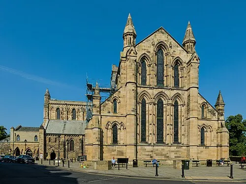
Hexham Abbey Benjamin Smith · CC BY-SA 4.0 -
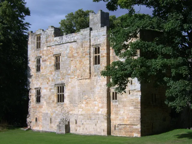
Dilston Castle Peter Brooks · CC BY-SA 2.0 -
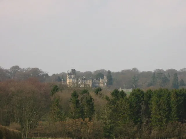
Beaufront Castle P Glenwright · CC BY-SA 2.0


Climate of Juniper
Best months for sightseeingBest months for sightseeing: June–August.
This month · November
A cold month
Day 9° · Night 3° · Rain 84 mm
- Hottest month
- July (day 19°)
- Coldest month
- January (night 1°)
- Wettest month
- January (90 mm)
- Driest month
- April (59 mm)
Bars: average monthly low and high temperature. Below: precipitation. Monthly averages for 1970–2000 at about 18 km resolution, adjusted for elevation. Highlighted months are mild and relatively dry. Source: WorldClim 2.1 (CC BY 4.0).
Show values as a table
| Month | Jan | Feb | Mar | Apr | May | Jun | Jul | Aug | Sep | Oct | Nov | Dec |
|---|---|---|---|---|---|---|---|---|---|---|---|---|
| Average high (°C) | 6° | 6° | 8° | 11° | 14° | 17° | 19° | 19° | 16° | 13° | 9° | 7° |
| Average low (°C) | 1° | 1° | 2° | 3° | 5° | 8° | 10° | 10° | 8° | 6° | 3° | 1° |
| Precipitation (mm) | 90 | 63 | 78 | 59 | 59 | 60 | 64 | 77 | 74 | 81 | 84 | 89 |
How to get to Juniper
The nearest airport is Newcastle International Airport (NCL), 29 km to the northeast as the crow flies. The nearest large city is Newcastle upon Tyne, 31 km to the east.
Airports
- Newcastle International Airport (NCL) Newcastle upon Tyne, Tyne and Wear 29 kmnortheast
- Teesside International Airport (MME) Darlington, Durham 63 kmsoutheast
- Leeds Bradford Airport (LBA) Leeds, West Yorkshire 121 kmsouth
Nearby large cities
- Newcastle upon Tyne Population: 300.1K 31 kmeast
- Sunderland Population: 170.1K 46 kmeast
- Middlesbrough Population: 142.7K 67 kmsoutheast
- Burnley Population: 149.4K 126 kmsouth
- York Population: 156.1K 126 kmsoutheast
Straight-line distances; road distances are longer. Airport data: OurAirports.
Day trips from Juniper
Within 100 km: 792 historic and cultural sites, 2,182 natural sites, 422 lakes, rivers and coasts.
0–25 km163 places
- Broomhaugh Island Island 5 kmN
- Gold Island Island 21 kmNW
- Ryton Island Island 22 kmE
- The Island Island 17 kmN
25–60 km857 places
- Saint Mary’s Island Island 44 kmE
- Coquet Island Island 58 kmNE
- Michell's Island Island 49 kmSE
- Fishgarth Holm Island 45 kmW
60–100 km2,376 places
- Powillimount Beach Beach 95 kmW
- Cocklawburn Beach Beach 90 kmN
- Cheswick Sands Beach 89 kmN
- Longhoughton Beach Beach 65 kmNE
Straight-line distances.
Nearby attractions & nature
Everything nearby-
Rowley Burn River, England1.1 km SE
-
Hexham Abbey Attraction, Hexham5.2 km N
-
West Dipton Burn River, England2.8 km N
-
Dilston Castle Historic site, Corbridge5.5 km NE
-
Hexham Moot Hall Historic site, Hexham5.2 km N
-
Snokoe Hill Mountain, Corbridge5.2 km NE
Sources & licences
Data last updated: · 2 independent sources