- Elevation
- 61 m
- above sea level
- Local time
- UTC+00:00
- Europe/London · UTC+00:00
- Airports
- NCL Newcastle International Airport28 km
- MME Teesside International Airport73 km
About Chollerford
Chollerford is a village. Location: Humshaugh, Northumberland. Elevation: 61 m. The best months to visit are June–August. The nearest airport is Newcastle International Airport (28 km). Nearby sights include Chesters Roman fort and Chesters Roman bridge.
Photos of Chollerford
-
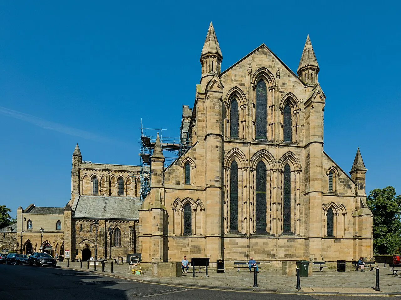
Hexham Abbey Benjamin Smith · CC BY-SA 4.0 -
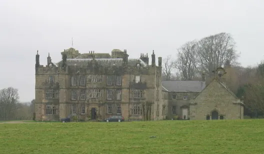
Chipchase Castle Les Hull · CC BY-SA 2.0 -
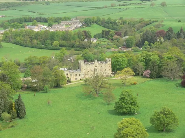
Haughton Castle Elwood · CC BY-SA 2.0 -
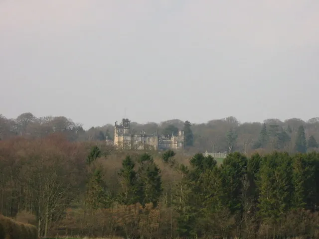
Beaufront Castle P Glenwright · CC BY-SA 2.0 -

Thornton Tower Andrew Curtis · CC BY-SA 2.0


Climate of Chollerford
Best months for sightseeingBest months for sightseeing: June–August.
This month · November
A cold month
Day 9° · Night 3° · Rain 85 mm
- Hottest month
- July (day 20°)
- Coldest month
- January (night 1°)
- Wettest month
- January (90 mm)
- Driest month
- April (58 mm)
Bars: average monthly low and high temperature. Below: precipitation. Monthly averages for 1970–2000 at about 18 km resolution, adjusted for elevation. Highlighted months are mild and relatively dry. Source: WorldClim 2.1 (CC BY 4.0).
Show values as a table
| Month | Jan | Feb | Mar | Apr | May | Jun | Jul | Aug | Sep | Oct | Nov | Dec |
|---|---|---|---|---|---|---|---|---|---|---|---|---|
| Average high (°C) | 7° | 7° | 9° | 11° | 15° | 18° | 20° | 19° | 17° | 13° | 9° | 7° |
| Average low (°C) | 1° | 1° | 2° | 3° | 6° | 9° | 11° | 11° | 9° | 6° | 3° | 2° |
| Precipitation (mm) | 90 | 64 | 76 | 58 | 60 | 60 | 64 | 77 | 73 | 82 | 85 | 87 |
How to get to Chollerford
The nearest airport is Newcastle International Airport (NCL), 28 km to the east as the crow flies. The nearest large city is Newcastle upon Tyne, 33 km to the east.
Airports
- Newcastle International Airport (NCL) Newcastle upon Tyne, Tyne and Wear 28 kmeast
- Teesside International Airport (MME) Darlington, Durham 73 kmsoutheast
- Edinburgh Airport (EDI) Ingliston, Edinburgh 129 kmnorthwest
Nearby large cities
- Newcastle upon Tyne Population: 300.1K 33 kmeast
- Sunderland Population: 170.1K 50 kmeast
- Middlesbrough Population: 142.7K 76 kmsoutheast
- Edinburgh Population: 515K 123 kmnorthwest
- Burnley Population: 149.4K 137 kmsouth
Straight-line distances; road distances are longer. Airport data: OurAirports.
Day trips from Chollerford
Within 100 km: 752 historic and cultural sites, 2,187 natural sites, 433 lakes, rivers and coasts.
0–25 km198 places
- Broomhaugh Island Island 7 kmS
- Gold Island Island 9 kmNW
- Ryton Island Island 24 kmE
- The Island Island 6 kmNW
25–60 km932 places
- Longhoughton Beach Beach 57 kmNE
- Saint Mary’s Island Island 44 kmE
- Coquet Island Island 51 kmNE
- Fishgarth Holm Island 47 kmSW
60–100 km2,242 places
- Powillimount Beach Beach 94 kmW
- Cocklawburn Beach Beach 79 kmN
- Cheswick Sands Beach 78 kmN
- Seaton Carew Beach Beach 73 kmSE
Straight-line distances.
Nearby attractions & nature
Everything nearby-
Chesters Roman fort Historic site, Humshaugh0.9 km SW
-
Chesters Roman bridge Historic site, Wall0.7 km SW
-
Haughton Castle Historic site, Humshaugh2.3 km N
-
Wall Historic site, Wall1.1 km SE
-
Walwick Historic site, Humshaugh1.6 km W
-
Walwick Grange Landmark, Warden1.8 km SW
Sources & licences
Data last updated: