River Wid
Located in England, United Kingdom Coordinates: 51°43′00″ N 0°29′00″ E
- Elevation
- 48 m
- above sea level
- Local time
- UTC+00:00
- Europe/London · UTC+00:00
About River Wid
River Wid is a river. Location: England, United Kingdom.
In comparison
- 4 sights and natural places within 10 km Baker's Wood Mediumwave Transmitter, Danbury Ring
Nearest towns and villages
-
Chelmsford District Municipality, Essex2.3 km N
-
Chelmsford City, Chelmsford District2.3 km NW
-
Great Baddow Village, Chelmsford District0.8 km E
-
Galleyend Neighbourhood, Galleywood1.5 km S
-
Moulsham Neighbourhood, Chelmsford District1.6 km NW
-
Galleywood Village, Chelmsford District2.2 km S
Nearby attractions & nature
Everything nearby-
Danbury Ring Mountain, Danbury6.3 km E
-
Treasure Island Island, Little Baddow7.3 km NE
-
Baker's Wood Mediumwave Transmitter Landmark, Margaretting5.8 km W
-
Bell Hill Mountain, Billericay12 km SW
-
River Roding River, Fyfield15 km W
-
River Chelmer River, England15 km E
-
Furze Woods Natural site, High Ongar14 km W
-
Criers Wood Mountain, Great Totham16 km NE
More lakes, rivers and coasts in United Kingdom
-
Northey Island Island, England16 km E
-
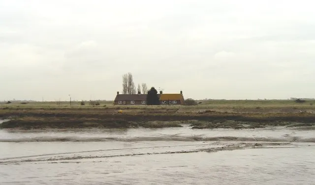 Potton Island Island, England27 km SE
-
Wallasea Island Island, England27 km SE
-
Lawling Creek River, England20 km E
-
Bridgemarsh Island Island, England21 km SE
-
Osea Island Island, England20 km E
Sources & licences
Data last updated: