Semer Water
Located in England, United Kingdom Coordinates: 54°16′00″ N 2°07′00″ W
- Elevation
- 485 m
- above sea level
- Local time
- UTC+00:00
- Europe/London · UTC+00:00
About Semer Water
Semer Water is a lake. Location: England, United Kingdom. Elevation: 485 m.
In comparison
- 21 sights and natural places within 10 km yorkshire dales, Addlebrough
Nearest towns and villages
-
Bainbridge Village, Richmondshire District1.3 km W
-
Stalling Busk Village, Bainbridge0.9 km W
-
Countersett Village, Bainbridge2.2 km N
-
Marsett Village, Bainbridge2.2 km W
-
Bishopdale Village, Richmondshire District4.5 km SE
-
Thornton Rust Village, Richmondshire District5.2 km NE
Nearby attractions & nature
Everything nearby-
yorkshire dales Natural site, Bainbridge2.2 km E
-
Addlebrough Mountain, Thornton Rust3.1 km NE
-
Wensleydale Natural site, England4.3 km NW
-
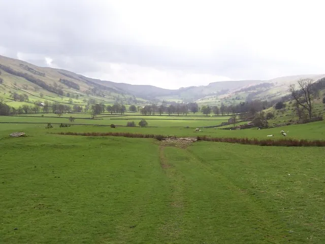 Bishopdale Natural site, England6.8 km E
-
Yockenthwaite Moor Mountain, Buckden4.8 km S
-
Drumaldrace Mountain, Hawes5.2 km W
-
Woldside Mountain, Buckden5.7 km SW
-
Naughtberry Hill Mountain, Bishopdale6.5 km SE
More lakes, rivers and coasts in United Kingdom
-
Great Britain Island, England31 km S
-
Batt Island Island, Redmire14 km E
-
Widdale Beck River, England7.5 km NW
-
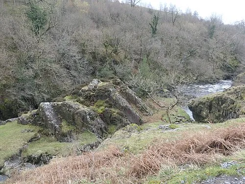 Cuckoo Island, Ingleton25 km SW
-
Walden Beck River, England10 km E
-
Malham Tarn Lake, North Yorkshire19 km S
Sources & licences
Data last updated: