Wensleydale
Located in England, United Kingdom Coordinates: 54°18′00″ N 2°09′00″ W
- Elevation
- 269 m
- above sea level
- Local time
- UTC+00:00
- Europe/London · UTC+00:00
About Wensleydale
Wensleydale is a natural site. Location: England, United Kingdom.
In comparison
- 18 sights and natural places within 10 km Hawes Mediumwave Transmitter, Fors Abbey
Nearest towns and villages
-
Hawes Village, Hawes3 km W
-
Burtersett Village, Hawes1 km W
-
Bainbridge Village, Richmondshire District3.6 km S
-
Countersett Village, Bainbridge2.2 km SE
-
West End Neighbourhood, Hawes3.6 km W
-
Low Abbotside Village, Richmondshire District3.7 km N
Nearby attractions & nature
Everything nearby-
Drumaldrace Mountain, Hawes4 km SW
-
Addlebrough Mountain, Thornton Rust4.7 km E
-
Semer Water Lake, England4.3 km SE
-
Oxnop Common - Blackstone Mountain, Muker5.7 km N
-
yorkshire dales Natural site, Bainbridge5.7 km SE
-
Lovely Seat Mountain, High Abbotside6 km N
-
Hawes Mediumwave Transmitter Landmark, Hawes2.9 km W
-
Woldside Mountain, Buckden7 km SW
More nature in United Kingdom
-
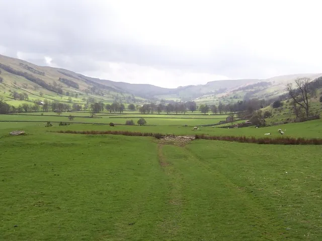 Bishopdale Natural site, England10 km SE
-
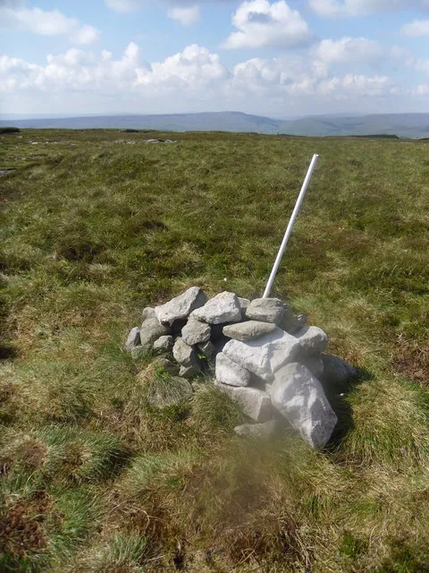 Rogan's Seat Mountain, Melbecks14 km N
-
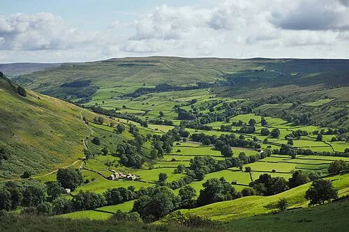 Swale Dale Natural site, England8.6 km NE
-
Woodhall Greets Mountain, Askrigg7.1 km NE
-
Conny Tammy Currack Mountain, Askrigg7.2 km NE
-
Lunds Fell Mountain, High Abbotside12 km NW
Sources & licences
Data last updated: