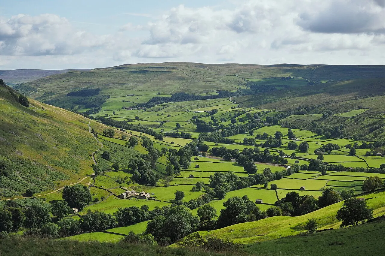
Swale Dale
Located in England, United Kingdom Coordinates: 54°22′00″ N 2°05′00″ W
- Elevation
- 489 m
- above sea level
- Local time
- UTC+00:00
- Europe/London · UTC+00:00
About Swale Dale
Swale Dale is a natural site. Location: England, United Kingdom.
Swaledale is a valley in North Yorkshire, England. It is one of the Yorkshire Dales, which are part of the Pennines, and within the Yorkshire Dales National Park. It is named after the River Swale, which runs through it. Swaledale is the most northerly of the major dales.
Read more on Wikipedia Text: Wikipedia contributors · CC BY-SA 4.0 · shortened
In comparison
- 22 sights and natural places within 10 km Blea Barf, Conny Tammy Currack
Nearest towns and villages
-
Lodge Green Neighbourhood, Melbecks1.5 km N
-
Spring End Village, Muker1.1 km NE
-
Satron Village, Muker1.1 km NW
-
Gunnerside Village, Melbecks1.4 km N
-
Ivelet Village, Muker1.8 km NW
-
Melbecks Village, Richmondshire District4.6 km NE
Nearby attractions & nature
Everything nearby-
Blea Barf Mountain, Grinton1 km SE
-
Conny Tammy Currack Mountain, Askrigg2.6 km S
-
Oxnop Common - Blackstone Mountain, Muker3.1 km SW
-
Melbecks Moor Mountain, Melbecks4 km N
-
Woodhall Greets Mountain, Askrigg4.6 km SE
-
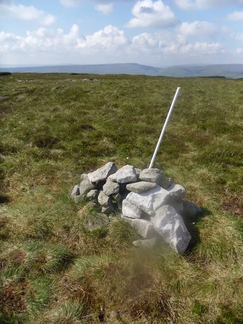 Rogan's Seat Mountain, Melbecks6.8 km NW
-
Pickerstone Ridge Mountain, Castle Bolton with East and West Bolton5.2 km SE
-
Great Pinseat Mountain, Reeth, Fremington and Healaugh6.3 km N
More nature in United Kingdom
-
Kisdon Mountain, Muker5.7 km NW
-
Lovely Seat Mountain, High Abbotside6.8 km W
-
Calver Hill Mountain, Reeth, Fremington and Healaugh7.5 km NE
-
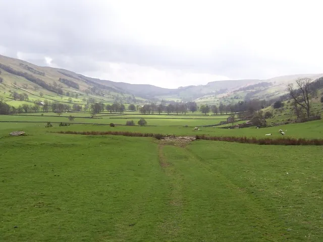 Bishopdale Natural site, England14 km S
-
Water Crag Mountain, Arkengarthdale8 km N
-
Addlebrough Mountain, Thornton Rust8.9 km S
Sources & licences
Data last updated: · 2 independent sources