Black Down Hills
Located in Churchstanton, Taunton Deane District Coordinates: 50°56′00″ N 3°10′00″ W
- Elevation
- 244 m
- above sea level
- Local time
- UTC+00:00
- Europe/London · UTC+00:00
- Airports
- EXT Exeter International Airport28 km
- CWL Cardiff International Airport53 km
About Black Down Hills
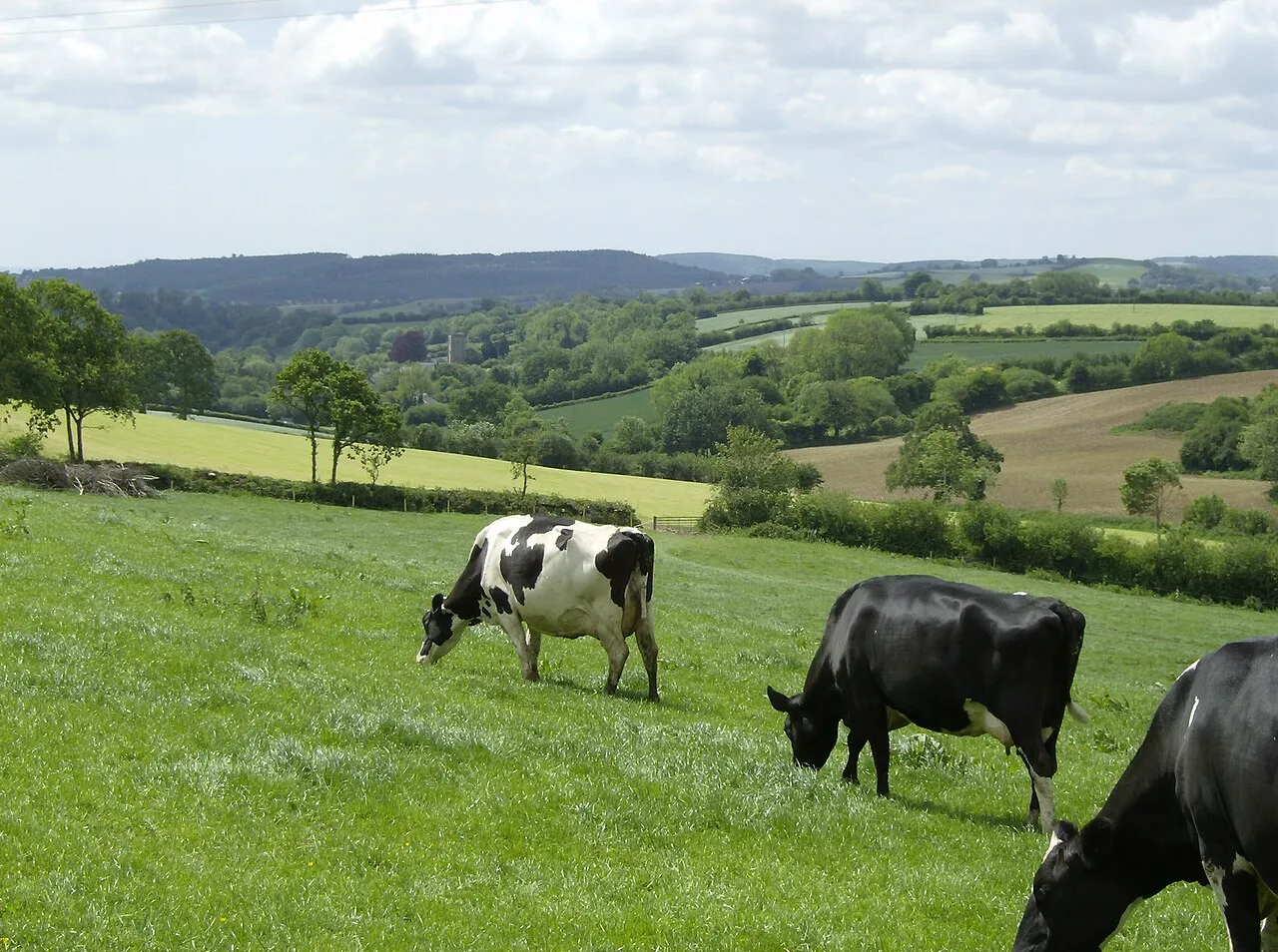
Black Down Hills is a mountain. Location: Churchstanton, Taunton Deane District. Elevation: 244 m.
The Blackdown Hills, or Blackdowns, are a range of hills along the Somerset–Devon border in south-western England. The plateau is dominated by hard chert bands of Upper Greensand with some remnants of chalk, and is cut through by river valleys. The Blackdown Hills were designated in 1991 as an Area of Outstanding Natural Beauty (AONB). In November 2023, AONBs became National Landscapes. The hills support an extensive range of wildlife leading to the designation of 16 Sites of Special Scientific Interest (SSSIs).
Source: Wikipedia · CC BY-SA 4.0
At a glance
- Heritage designation
- National Landscape
Source: Wikidata
Photos of Black Down Hills
-
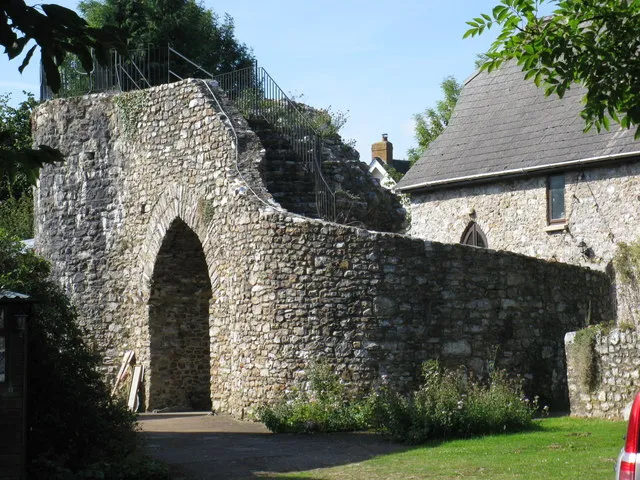
Hemyock Castle don cload · CC BY-SA 2.0

Climate of Black Down Hills
Best months for sightseeingBest months for sightseeing: June–August.
This month · November
A wet month
Day 10° · Night 4° · Rain 117 mm
- Hottest month
- July (day 20°)
- Coldest month
- February (night 1°)
- Wettest month
- December (119 mm)
- Driest month
- June (65 mm)
Bars: average monthly low and high temperature. Below: precipitation. Monthly averages for 1970–2000 at about 18 km resolution, adjusted for elevation. Highlighted months are mild and relatively dry. Source: WorldClim 2.1 (CC BY 4.0).
Show values as a table
| Month | Jan | Feb | Mar | Apr | May | Jun | Jul | Aug | Sep | Oct | Nov | Dec |
|---|---|---|---|---|---|---|---|---|---|---|---|---|
| Average high (°C) | 7° | 7° | 9° | 11° | 15° | 18° | 20° | 19° | 17° | 13° | 10° | 8° |
| Average low (°C) | 2° | 1° | 3° | 3° | 6° | 9° | 11° | 11° | 9° | 7° | 4° | 3° |
| Precipitation (mm) | 115 | 85 | 84 | 66 | 66 | 65 | 72 | 82 | 89 | 106 | 117 | 119 |
How to get to Black Down Hills
The nearest airport is Exeter International Airport (EXT), 28 km to the southwest as the crow flies. For international flights: Cardiff International Airport (CWL) (53 km). The nearest large city is Exeter, 35 km to the southwest.
Airports
- Exeter International Airport (EXT) Exeter, Devon 28 kmsouthwest
- Cardiff International Airport (CWL) Cardiff 53 kmnorth
- Bristol Airport (BRS) Bristol 59 kmnortheast
Nearby large cities
- Exeter Population: 130.7K 35 kmsouthwest
- Cardiff Population: 372.1K 61 kmnorth
- Bristol Population: 479K 70 kmnortheast
- Newport Population: 161.5K 74 kmnorth
- Bath Population: 101.6K 75 kmnortheast
Straight-line distances; road distances are longer. Airport data: OurAirports.
Day trips from Black Down Hills
Within 100 km: 473 historic and cultural sites, 1,293 natural sites, 164 lakes, rivers and coasts.
0–25 km115 places
- Staple Hill Mountain 6 kmE
- Wills Neck Mountain 20 kmN
- Christ Cross Mountain 24 kmSW
- Three Gates Hill Mountain 20 kmW
25–60 km621 places
- Chesil Beach Beach 54 kmSE
- Charmouth Beach Beach 29 kmSE
- Oddicombe Beach Beach 56 kmSW
- Babbacombe Beach Beach 56 kmSW
60–100 km1,194 places
- Brownsea Island Island 88 kmE
- Burgh Island Island 89 kmSW
- Goodrington Sands Beach 64 kmSW
- Saunton Sands Beach 76 kmW
Straight-line distances.
Nearest towns and villages
-
Burnworthy Village, Churchstanton0.8 km NE
-
Churchstanton Village, Churchstanton1.7 km SE
-
Garlandhayes Village, Clayhidon0.8 km NW
-
Stapley Village, Churchstanton2 km S
-
Willand Village, Churchstanton2.5 km SE
-
Clayhidon Village, Clayhidon2 km W
Nearby attractions & nature
Everything nearby-
Buckland Hill Mountain, West Buckland2.5 km NW
-
Wellington Hill Mountain, Wellington Without4.7 km W
-
Staple Hill Mountain, Otterford6 km E
-
Broomfield Breach Mountain, Sampford Arundel6.4 km W
-
Hemyock Castle Historic site, Hemyock5.1 km SW
-
Orchard Wood Mountain, Orchard Portman8.3 km NE
-
Beacon Hill Mountain, Yarcombe8.8 km SE
-
Buckland Hill Mountain, Buckland St. Mary9.4 km E
Sources & licences
Data last updated: · 2 independent sources