Forest Heath District
Located in Suffolk, England Coordinates: 52°20′00″ N 0°34′00″ E
- Population
- 64,447
- 64.4K
- Elevation
- 12 m
- above sea level
- Local time
- UTC+00:00
- Europe/London · UTC+00:00
- Places inside
- 24
- listed under Forest Heath District
About Forest Heath District
Forest Heath District is a municipality. Location: Suffolk, England. Population: 64,447. Elevation: 12 m.
In comparison
- No. 7 of 7 places in Suffolk by population
- Nearest larger town: St. Edmundsbury District, 14 km SE
- 7 sights and natural places within 10 km River Lark, Tuddenham Mill Stream
- Listed here: Village: 24
Places in Forest Heath District
24 places-
Barton Mills Village
-
Brandon Village
-
Cavenham Village
-
Dalham Village
-
Elveden Village
-
Eriswell Village
-
Exning Village
-
Freckenham Village
-
Gazeley Village
-
Herringswell Village
-
Higham Village
-
Icklingham Village
-
Kentford Village
-
Lakenheath Village
-
Mildenhall Village
-
Moulton Village
-
Newmarket Village
-
Red Lodge Village
-
Santon Downham Village
-
Santon Downham Village
-
Tuddenham Village
-
Wangford Village
-
Worlington Village
Nearby attractions & nature
Everything nearby-
West Stow Anglo-Saxon Village Historic site, West Stow5.3 km SE
-
West Stow Country Park Natural site, West Stow5.5 km SE
-
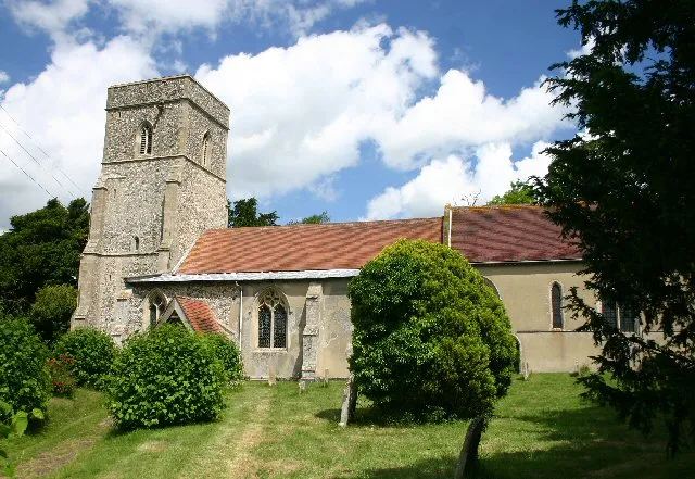 Lidgate Castle Historic site, Lidgate16 km S
-
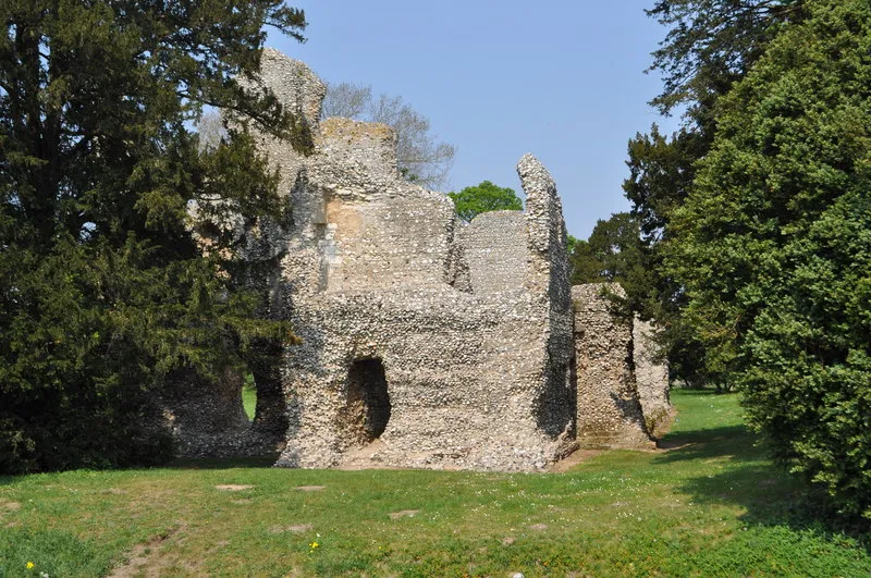 Weeting Castle Historic site, Weeting-with-Broomhill16 km N
-
Chippenham Historic site, Chippenham9.7 km SW
-
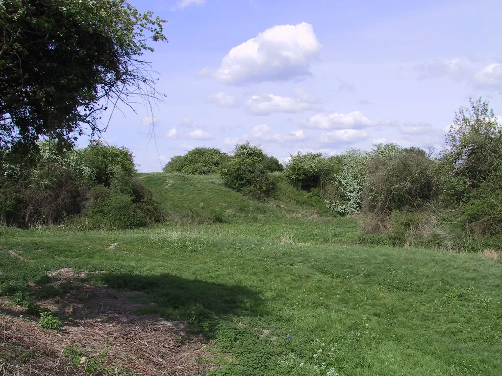 Burwell Castle Historic site, Burwell18 km SW
-
Bury St Edmunds Historic site, Bury St. Edmunds14 km SE
-
Thetford Red Castle Historic site, Thetford15 km NE
Sources & licences
Data last updated: