Guildford District
Located in Surrey, England Coordinates: 51°15′07″ N 0°33′58″ W
- Population
- 148,020
- 148K
- Elevation
- 29 m
- above sea level
- Local time
- UTC+00:00
- Europe/London · UTC+00:00
- Places inside
- 42
- listed under Guildford District
About Guildford District
Guildford District is a municipality. Location: Surrey, England. Population: 148,020. Elevation: 29 m.
In comparison
- Most populous of 11 places in Surrey
- Nearest larger town: Kingston upon Thames, 24 km NE
- 28 sights and natural places within 10 km Stoke Park, Guildford Castle
- Listed here: Village: 26, Neighbourhood: 11, Natural site: 2, Town: 2
Places in Guildford District
42 places-
Guildford Town71.9K
-
Merrow Neighbourhood8K
-
Burpham Town5.7K
-
Abbotswood Neighbourhood
-
Albury Village
-
Artington Village
-
Ash Village
-
Bellfields Neighbourhood
-
Boxgrove Park Village
-
Bushy Hill Village
-
Compton Village
-
Dennisville Neighbourhood
-
East Clandon Village
-
East Horsley Village
-
Effingham Village
-
Guildford Castle Historic site
-
Guildford Park Neighbourhood
-
Normandy Village
-
Ockham Village
-
Onslow Village Neighbourhood
-
Park Barn Neighbourhood
-
Pirbright Village
-
Puttenham Village
-
Ripley Village
-
Seale and Sands Village
-
Send Village
-
Shackleford Village
-
Shalford Village
-
Shalford Mill Natural site
-
Shalford Park Natural site
-
Shere Village
-
Slyfield Neighbourhood
-
St. Martha Village
-
Stoughton Neighbourhood
-
Tongham Village
-
Wanborough Village
-
Westborough Neighbourhood
-
West Clandon Village
-
West Horsley Village
-
Wisley Village
-
Woodbridge Hill Neighbourhood
-
Worplesdon Village
Nearby attractions & nature
Everything nearby-
Stoke Park Natural site, Surrey0.7 km S
-
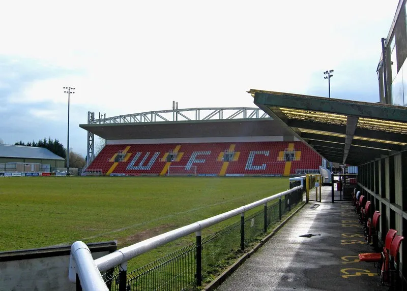 Kingfield Stadium Landmark, Woking District6.1 km N
-
Hoe Valley Linear Park Natural site, Woking District5.1 km N
-
Chinthurst Hill Mountain, Wonersh5.6 km S
-
Frith Hill Mountain, Godalming7.4 km SW
-
St. John's Lye Natural site, Woking District6.9 km N
-
Under Green Natural site, Godalming7.2 km SW
-
Hoe Stream River, Woking District6.6 km N
Other cities and towns in Surrey
-
Waverley District Municipality, Surrey11 km SW
-
Surrey Heath Municipality, Surrey11 km NW
-
Elmbridge District Municipality, Surrey16 km NE
-
Runnymede District Municipality, Surrey16 km N
-
Mole Valley Municipality, Surrey16 km SE
-
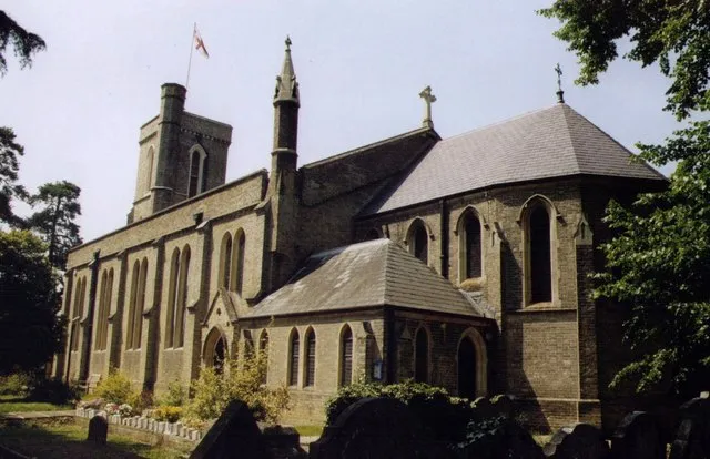 Addlestone Town, Runnymede District14 km N
Sources & licences
Data last updated: