Mole Valley
Located in Surrey, England Coordinates: 51°09′00″ N 0°24′00″ W
- Population
- 86,223
- 86.2K
- Elevation
- 69 m
- above sea level
- Local time
- UTC+00:00
- Europe/London · UTC+00:00
- Places inside
- 44
- listed under Mole Valley
About Mole Valley
Mole Valley is a municipality. Location: Surrey, England. Population: 86,223. Elevation: 69 m.
In comparison
- No. 10 of 11 places in Surrey by population
- Nearest larger town: Crawley District, 15 km E
- 20 sights and natural places within 10 km Holmbury Hill, Leith Hill
- Listed here: Village: 23, Neighbourhood: 10, Town: 5, Mountain: 4
Places in Mole Valley
44 places-
Leatherhead Town43.5K
-
Ashtead Town13.5K
-
Great Bookham Town11.4K
-
Fetcham Town8K
-
Little Bookham Town8K
-
Westcott Village2.5K
-
Westhumble Village649
-
Abinger Village
-
Ashtead Common Neighbourhood
-
Betchworth Village
-
Blackbrook Village
-
Bookham Village
-
Box Hill Village
-
Brockham Village
-
Buckland Village
-
Bury Hill Mountain
-
Capel Village
-
Charlwood Village
-
Fetcham Grove Neighbourhood
-
Givons Grove Neighbourhood
-
Headley Village
-
Holmwood Village
-
Hundred Pound Bridge Wood Natural site
-
Isle of Wight Village
-
Leatherhead Common Neighbourhood
-
Leigh Village
-
Logmore Green Village
-
Longmoor Mountain
-
Lower Ashtead Neighbourhood
-
Mickleham Village
-
Mid Holmwood Village
-
Newdigate Village
-
Ockley Village
-
Old Fort Box Hill Historic site
-
Pachesham Park Village
-
Pixham Neighbourhood
-
Polesden Lacey Village
-
Rose Hill Neighbourhood
-
Stonebridge Neighbourhood
-
The Terrace Mountain
-
Tower Hill Mountain
-
Tower Hill Neighbourhood
-
Tyrrell's Wood Neighbourhood
-
Wotton Village
Nearby attractions & nature
Everything nearby-
Holmbury Hill Mountain, Shere3.2 km NW
-
Pitch Hill Mountain, Ewhurst4.3 km NW
-
The Warren Mountain, Ewhurst4.9 km NW
-
Broomhall Copse Historic site, Rudgwick7.2 km SW
-
Chennells Brook Farm Historic site, North Horsham9.7 km SE
-
Farlington Strood Park Natural site, Warnham7.9 km S
-
Rusper Hill Mountain, Rusper8.7 km E
-
Warnham Park Natural site, Warnham8.5 km SE
Other cities and towns in Surrey
-
Guildford District Municipality, Surrey16 km NW
-
Waverley District Municipality, Surrey16 km W
-
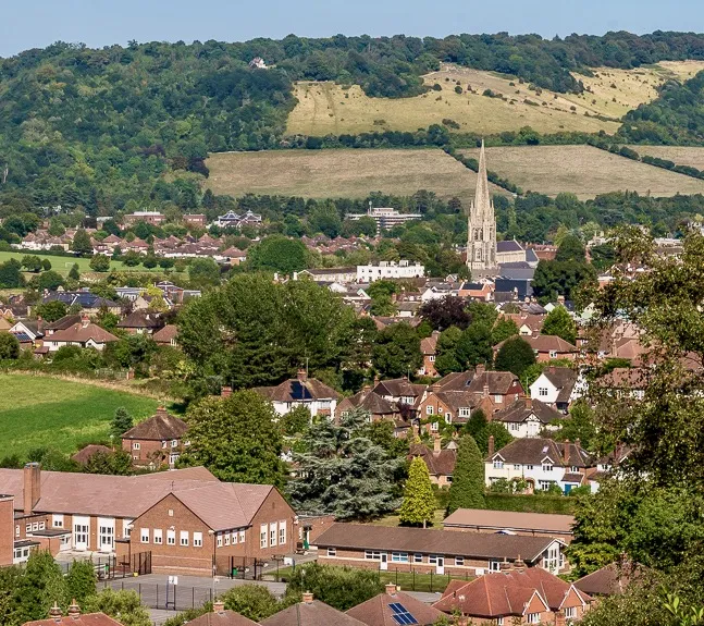 Dorking Town, Holmwood10 km NE
-
Reigate and Banstead District Municipality, Surrey20 km NE
-
Woking District Municipality, Surrey21 km NW
-
Elmbridge District Municipality, Surrey22 km N
Sources & licences
Data last updated: