Ashtead
Located in Mole Valley, Surrey Coordinates: 51°18′31″ N 0°17′59″ W
- Population
- 13,494
- 13.5K
- Elevation
- 75 m
- above sea level
- Local time
- UTC+00:00
- Europe/London · UTC+00:00
About Ashtead
Ashtead is a town. Location: Mole Valley, Surrey. Population: 13,494. Elevation: 75 m.
In comparison
- No. 2 of 7 places in Mole Valley by population
- Nearest larger town: Leatherhead, 3 km SW
- 36 sights and natural places within 10 km Telegraph Hill, Pot Wood
Nearby attractions & nature
Everything nearby-
Telegraph Hill Mountain, Kingston upon Thames3.1 km NW
-
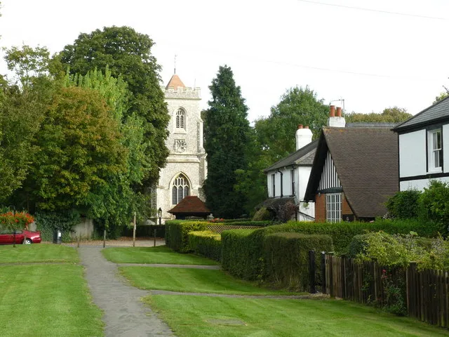 Walton on the Hill Historic site, Reigate and Banstead District4.6 km SE
-
Pot Wood Natural site, Reigate and Banstead District4.4 km E
-
North Looe Mediumwave Transmitter Landmark, Epsom and Ewell District5.3 km NE
-
Lothian Wood Natural site, Reigate and Banstead District4.8 km SE
-
Merland Rise Recreational Ground Natural site, Reigate and Banstead District4.9 km E
-
Chessington Castle Hill Historic site, Kingston upon Thames5.5 km N
-
Old Fort Box Hill Historic site, Mole Valley6.6 km S
Other cities and towns in Mole Valley
-
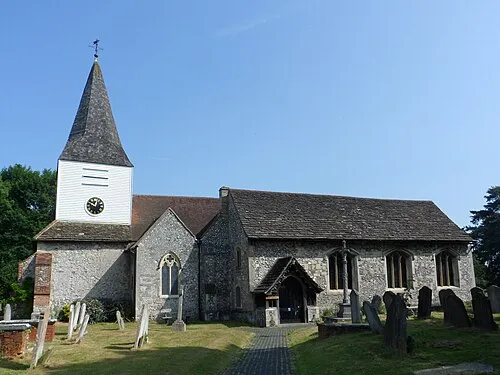 Great Bookham Town, Mole Valley6.2 km SW
-
Little Bookham Town, Mole Valley7.1 km SW
-
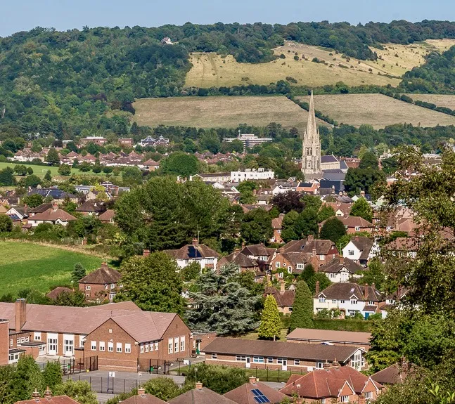 Dorking Town, Holmwood8.8 km S
Sources & licences
Data last updated: