Waverley District
Located in Surrey, England Coordinates: 51°09′28″ N 0°37′46″ W
- Population
- 123,768
- 123.8K
- Elevation
- 70 m
- above sea level
- Local time
- UTC+00:00
- Europe/London · UTC+00:00
- Places inside
- 22
- listed under Waverley District
About Waverley District
Waverley District is a municipality. Location: Surrey, England. Population: 123,768. Elevation: 70 m.
In comparison
- No. 4 of 11 places in Surrey by population
- Nearest larger town: Guildford District, 11 km NE
- 29 sights and natural places within 10 km Foxall Wood, Hambledon
- Listed here: Village: 22
Places in Waverley District
22 places-
Rowledge Village1.6K
-
Alfold Village
-
Bramley Village
-
Busbridge Village
-
Chiddingfold Village
-
Churt Village
-
Cranleigh Village
-
Dockenfield Village
-
Dunsfold Village
-
Elstead Village
-
Ewhurst Village
-
Farnham Village
-
Frensham Village
-
Godalming Village
-
Hambledon Village
-
Hascombe Village
-
Haslemere Village
-
Peper Harow Village
-
Thursley Village
-
Tilford Village
-
Witley Village
-
Wonersh Village
Nearby attractions & nature
Everything nearby-
Peasmarsh Mediumwave Transmitter Landmark, Artington5.8 km NE
-
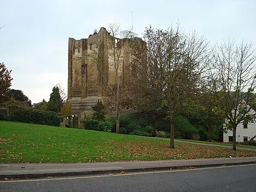 Guildford Castle Historic site, Guildford District9.3 km NE
-
Devils Punch Bowl Natural site, England7.6 km SW
-
 Recreation Ground Landmark, Rushmoor District13 km NW
-
Shalford Mill Natural site, Guildford District8.2 km NE
-
Stoke Park Natural site, Surrey11 km NE
-
Shalford Park Natural site, Guildford District8.5 km NE
-
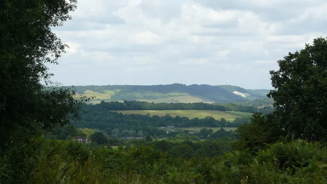 North Downs Mountain, West Clandon15 km NE
Sources & licences
Data last updated: