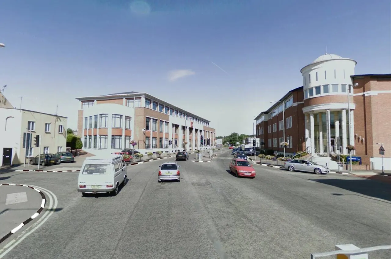
- Population
- 15,967
- 16K
- Elevation
- 14 m
- above sea level
- Local time
- UTC+00:00
- Europe/London · UTC+00:00
- Airports
- LHR London Heathrow Airport10 km
- LGW London Gatwick Airport35 km
About Chertsey
Chertsey is a town. Location: Runnymede District, Surrey. Population: 15,967. Elevation: 14 m.
Chertsey is a town in the Borough of Runnymede in Surrey, England, 18 miles (29 km) south-west of central London. It grew up around Chertsey Abbey, founded in AD 666 by St Erkenwald, and gained a market charter from Henry I. A bridge across the River Thames first appeared in the early 15th century. The River Bourne through the town meets the Thames at Weybridge. The Anglican church has a medieval tower and chancel roof.
Source: Wikipedia · CC BY-SA 4.0
Photos of Chertsey
-

Steve Barnes · CC BY-SA 2.0 -

Des Blenkinsopp · CC BY-SA 2.0 -

Benjamin Rusholme · CC BY-SA 3.0 -

Colin Smith · CC BY-SA 2.0 -

Oscar Taylor · CC BY-SA 2.0


Travel notes for Chertsey
From Wikivoyage
Chertsey is a town in Surrey.
Chertsey was founded in 666 AD which means it is one of the oldest towns in England.
Get in+
By plane:
Heathrow Airport (LHR IATA) is nearby, with low traffic a car/taxi journey of just over 15 minutes may be achieved, in poor traffic conditions it can be significantly longer. A bus only option is available with a change at Staines-on-Thames with a typical journey time of 60-90 minutes and a half-hourly frequency. Rail connections to Chertsey will require a bus to Staines-on-Thames or Feltham, again journey times are typically in the 60-90 minutes range.
By train:
1 Chertsey train station is near the centre of the town and is on the London Waterloo to Reading line. It is served by direct trains from London Waterloo station, but a faster journey time of just under an hour can often be achieved by changing at Weybridge or Staines-on-Thames interchange stations. Feltham may also be a convenient interchange for journeys from Heathrow Airport via the 285 high-frequency bus service.
By car:
There are many ways to get in Chertsey, the main ways in are:
Via Chertsey Bridge
Via Thorpe Park
Via the M25
By bus:
Key bus routes into Chertsey are the Abellio Surrey 446/456 services between Staines-on-Thames and Woking and the Cardinal Buses 557 route Addlestone to Shepperton and Sunbury. A list of timetables can be found here.
By boat:
The Thames is quite wide at the Chertsey stage but you cannot rent a boat at Chertsey.
Source: Wikivoyage · CC BY-SA 4.0 · abridged
Climate of Chertsey
Best months for sightseeingBest months for sightseeing: June–August.
This month · November
A cold month
Day 11° · Night 4° · Rain 62 mm
- Hottest month
- July (day 23°)
- Coldest month
- February (night 2°)
- Wettest month
- October (66 mm)
- Driest month
- July (40 mm)
Bars: average monthly low and high temperature. Below: precipitation. Monthly averages for 1970–2000 at about 18 km resolution, adjusted for elevation. Highlighted months are mild and relatively dry. Source: WorldClim 2.1 (CC BY 4.0).
Show values as a table
| Month | Jan | Feb | Mar | Apr | May | Jun | Jul | Aug | Sep | Oct | Nov | Dec |
|---|---|---|---|---|---|---|---|---|---|---|---|---|
| Average high (°C) | 8° | 8° | 11° | 13° | 17° | 20° | 23° | 22° | 19° | 15° | 11° | 9° |
| Average low (°C) | 2° | 2° | 3° | 5° | 8° | 11° | 13° | 12° | 10° | 7° | 4° | 3° |
| Precipitation (mm) | 62 | 42 | 49 | 46 | 50 | 52 | 40 | 51 | 58 | 66 | 62 | 64 |
How to get to Chertsey
The nearest airport is London Heathrow Airport (LHR), 10 km to the north as the crow flies. The nearest large city is Woking, 8 km to the southwest.
Airports
- London Heathrow Airport (LHR) London 10 kmnorth
- London Gatwick Airport (LGW) London 35 kmsoutheast
- London City Airport (LCY) London 41 kmeast
Nearby large cities
- Woking Population: 103.9K 8 kmsouthwest
- Slough Population: 164.8K 15 kmnorthwest
- Sutton Population: 187.6K 22 kmeast
- Harrow Population: 149.2K 24 kmnortheast
- Croydon Population: 173.3K 28 kmeast
Straight-line distances; road distances are longer. Airport data: OurAirports.
Day trips from Chertsey
Within 100 km: 847 historic and cultural sites, 673 natural sites, 319 lakes, rivers and coasts.
0–25 km260 places
- Holm Island Island 6 kmN
- Sunbury Court Island 8 kmE
- Rivermead Island 8 kmE
- Lot's Ait Island 18 kmNE
25–60 km714 places
- White Hart Lane Landmark 39 kmNE
- The Lynch Island 29 kmNW
- Wargrave Island Island 29 kmNW
- Loddon Island Island 27 kmW
60–100 km865 places
- Portsea Island Natural site 76 kmSW
- Isle of Wight Island 96 kmSW
- Isle of Sheppey Island 93 kmE
- Spotlites @ Kings Theatre Attraction 72 kmE
Straight-line distances.
Nearby attractions & nature
Everything nearby-
Penton Hook Island Island, Spelthorne District2.7 km N
-
Abbey Lake Lake, Runnymede District1.6 km N
-
St Ann's Hill Mountain, Runnymede District1.7 km NW
-
Thorpe Park Natural site, Runnymede District1.9 km N
-
St Ann's Lake Lake, Runnymede District1.9 km NW
-
Fleet Lake Lake, Runnymede District2.2 km N
-
Manor Lake Lake, Runnymede District2.3 km NW
-
Woburn Park Natural site, Runnymede District2.3 km SE
Sources & licences
Data last updated: · 2 independent sources