- Population
- 30,155
- 30.2K
- Elevation
- 84 m
- above sea level
- Local time
- UTC+00:00
- Europe/London · UTC+00:00
- Airports
- LHR London Heathrow Airport25 km
- LGW London Gatwick Airport44 km
About Camberley
Camberley is a town. Location: Surrey Heath, Surrey. Population: 30,155. Elevation: 84 m.
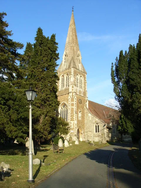
Camberley is a town in north-west Surrey, England, around 29 miles (47 kilometres) south-west of central London. It is in the Borough of Surrey Heath and is close to the county boundaries with Hampshire and Berkshire. Known originally as "Cambridge Town", it was assigned its current name by the General Post Office in 1877. Until the start of the 19th century, the area was a sparsely populated area of infertile land known as Bagshot or Frimley Heath.
Source: Wikipedia · CC BY-SA 4.0
At a glance
- Area
- 16.8 km²
Source: Wikidata
Photos of Camberley
-

Ministry of Information Photo Division Photographer · Public domain -

David960 · CC BY-SA 2.0 -

Photochrom Print Collection · Public domain -

Photochrom Print Collection · Public domain -

Len Williams · CC BY-SA 2.0


Travel notes for Camberley
From Wikivoyage
Camberley is a town in Surrey. Camberley is an up-and-coming and expanding town, which is known for being close to the Royal Military Academy at Sandhurst. The main part of the town is north of the M3 with the older villages of Frimley, Frimley Green, Deepcut and Mytchett that have merged into the town south of the Motorway.
Understand+
The settlement which grew up adjacent to the Staff College, was first named Cambridge Town after a local hotel, but this name proved unfortunate for officials of the Royal Mail. They were concerned that much of the Cambridge Town's post might end up in an ancient university city on the edge of the Fens in eastern England. Thus, the name of the Victorian upstart was quickly changed to Camberley, to match older local place names such as Frimley, Hawley and Yateley.
Get in+
Camberley is 30 miles (50 km) away from central London and quite convenient to reach the M3/M25 corridor and Heathrow airport.
By bus:
Camberley is served by many bus routes from Aldershot, Ascot, Bracknell, Farnborough, Guildford, Heathrow, Sandhurst, Staines and Woking.
By plane:
Camberley is well served by London's collection of airports. For travellers coming directly to Camberley, the most convenient are:
Heathrow Airport is about 25 minutes' drive along the M25 and M3 motorways. Bus route 730 links Heathrow terminals 2, 3 and 5 to Knoll Road in the town centre.
Gatwick Airport is about an hour's drive away via the M23, M25 and M3 motorways. Great Western Railway operates trains from Gatwick to Blackwater, a station about 2 mi (3.2 km) west of Camberley town centre and connected to the town by bus route 3
By train:
1 Camberley station is on a local branch line between Ascot and Aldershot, with trains every 30 min. Services from London Waterloo to Reading call at Ascot; change here to get to Camberley in around 1 hr 15 min from Waterloo.
2 Farnborough Main station, 3 mi (4.8 km) south of Camberley, receives three trains an hour direct from Waterloo, with journey times of 35-50 min. It also gets regular trains from Woking, Basingstoke, Winchester and Portsmouth. Bus route 1 links this station to Camberley
3 Blackwater station, 2 mi (3.2 km) west of the town centre heading along London Road, receives two trains per hour from Reading, Wokingham, Guildford and Gatwick Airport. Bus route 3 links this station to Camberley
By car:
Travelling from central London, Heathrow or Gatwick airports, Camberley can be reached via the M25 at Junction 12 heading on the M3 in the direction of Southampton and the South West. Leave the motorway at Junction 4.
Source: Wikivoyage · CC BY-SA 4.0 · abridged
Climate of Camberley
Best months for sightseeingBest months for sightseeing: June–August.
This month · November
A cold month
Day 10° · Night 4° · Rain 69 mm
- Hottest month
- July (day 22°)
- Coldest month
- February (night 1°)
- Wettest month
- December (72 mm)
- Driest month
- July (42 mm)
Bars: average monthly low and high temperature. Below: precipitation. Monthly averages for 1970–2000 at about 18 km resolution, adjusted for elevation. Highlighted months are mild and relatively dry. Source: WorldClim 2.1 (CC BY 4.0).
Show values as a table
| Month | Jan | Feb | Mar | Apr | May | Jun | Jul | Aug | Sep | Oct | Nov | Dec |
|---|---|---|---|---|---|---|---|---|---|---|---|---|
| Average high (°C) | 7° | 7° | 10° | 13° | 17° | 20° | 22° | 22° | 18° | 14° | 10° | 8° |
| Average low (°C) | 2° | 1° | 3° | 4° | 7° | 10° | 12° | 12° | 10° | 7° | 4° | 3° |
| Precipitation (mm) | 69 | 47 | 54 | 49 | 52 | 55 | 42 | 54 | 64 | 71 | 69 | 72 |
How to get to Camberley
The nearest airport is London Heathrow Airport (LHR), 25 km to the northeast as the crow flies. The nearest large city is Woking, 13 km to the east.
Airports
- London Heathrow Airport (LHR) London 25 kmnortheast
- London Gatwick Airport (LGW) London 44 kmsoutheast
- London City Airport (LCY) London 59 kmeast
Nearby large cities
- Woking Population: 103.9K 13 kmeast
- Reading Population: 318K 21 kmnorthwest
- Slough Population: 164.8K 22 kmnortheast
- Basingstoke Population: 107.6K 25 kmwest
- High Wycombe Population: 133.2K 32 kmnorth
Straight-line distances; road distances are longer. Airport data: OurAirports.
Day trips from Camberley
Within 100 km: 836 historic and cultural sites, 732 natural sites, 299 lakes, rivers and coasts.
0–25 km183 places
- The Lynch Island 20 kmNW
- Holm Island Island 19 kmNE
- Windsor Racecourse Island Island 18 kmN
- Wargrave Island Island 21 kmNW
25–60 km783 places
- White Hart Lane Landmark 56 kmNE
- Thorney Island Island 59 kmS
- Sunbury Court Island 26 kmE
- Rivermead Island 25 kmE
60–100 km901 places
- Portsea Island Natural site 64 kmS
- Isle of Wight Island 83 kmSW
- Spotlites @ Kings Theatre Attraction 89 kmE
- St Nicholas Church Shoreham Attraction 64 kmSE
Straight-line distances.
Nearby attractions & nature
Everything nearby-
Hawley Hill Mountain, Blackwater and Hawley3.5 km SW
-
Surrey Hill Mountain, Winkfield3.8 km N
-
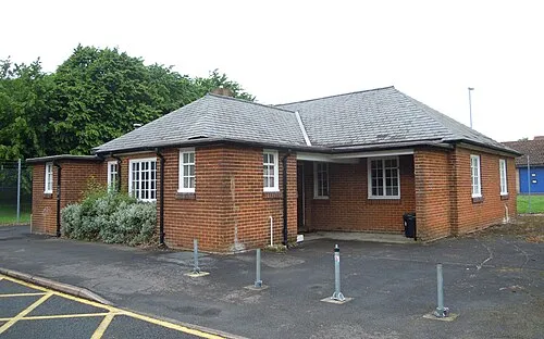 Aldershot Military Museum Museum, Rushmoor District7.5 km S
-
Bagshot Park Natural site, England5.9 km NE
-
Farnborough Air Sciences Trust Museum Museum, Rushmoor District6.1 km S
-
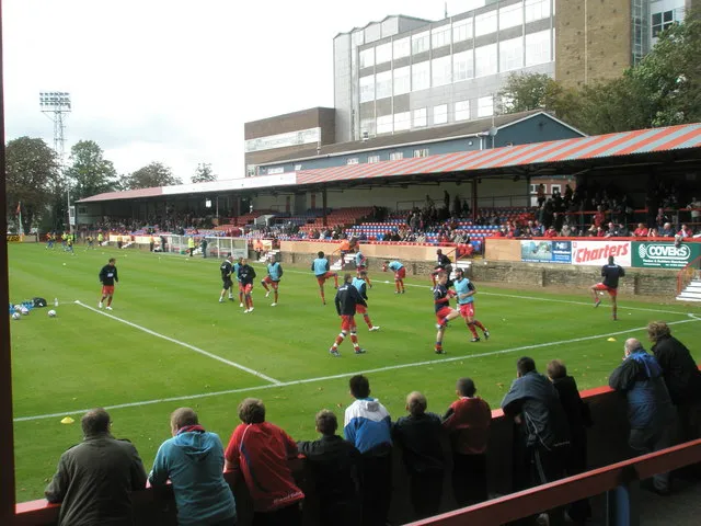 Recreation Ground Landmark, Rushmoor District9.9 km S
-
Ramillies Park Natural site, Rushmoor District7.2 km S
-
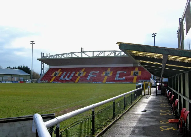 Kingfield Stadium Landmark, Woking District13 km E
Sources & licences
Data last updated: · 2 independent sources