- Local time
- UTC+00:00
- Europe/London · UTC+00:00
- Elevation
- 34 m
- above sea level
- Airports
- LHR London Heathrow Airport18 km
- LGW London Gatwick Airport32 km
About Kettlewell Bridge
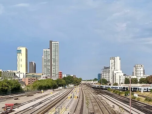
Kettlewell Bridge is a landmark. Location: Woking District, Surrey. The best months to visit are June–August. The nearest airport is London Heathrow Airport (18 km). Nearby sights include Kingfield Stadium and Hoe Stream.
Photos of Kettlewell Bridge
-
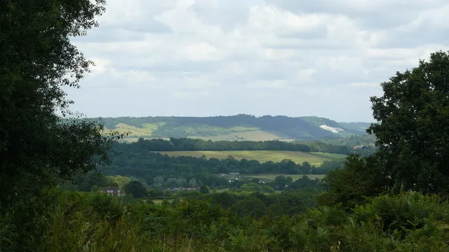
North Downs Peter Trimming · CC BY-SA 2.0 -
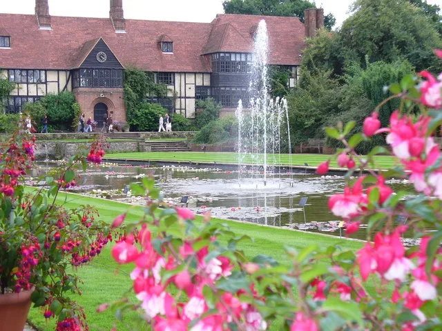
RHS Garden, Wisley Colin Smith · CC BY-SA 2.0 -
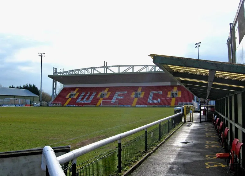
Kingfield Stadium P L Chadwick · CC BY-SA 2.0


Climate of Kettlewell Bridge
Best months for sightseeingBest months for sightseeing: June–August.
This month · November
A cold month
Day 11° · Night 4° · Rain 71 mm
- Hottest month
- July (day 23°)
- Coldest month
- February (night 2°)
- Wettest month
- December (74 mm)
- Driest month
- July (43 mm)
Bars: average monthly low and high temperature. Below: precipitation. Monthly averages for 1970–2000 at about 18 km resolution, adjusted for elevation. Highlighted months are mild and relatively dry. Source: WorldClim 2.1 (CC BY 4.0).
Show values as a table
| Month | Jan | Feb | Mar | Apr | May | Jun | Jul | Aug | Sep | Oct | Nov | Dec |
|---|---|---|---|---|---|---|---|---|---|---|---|---|
| Average high (°C) | 8° | 8° | 11° | 13° | 17° | 20° | 23° | 22° | 19° | 15° | 11° | 8° |
| Average low (°C) | 2° | 2° | 3° | 4° | 7° | 10° | 12° | 12° | 10° | 7° | 4° | 3° |
| Precipitation (mm) | 73 | 48 | 56 | 49 | 51 | 54 | 43 | 54 | 65 | 73 | 71 | 74 |
How to get to Kettlewell Bridge
The nearest airport is London Heathrow Airport (LHR), 18 km to the north as the crow flies. The nearest large city is Woking, 1 km to the south.
Airports
- London Heathrow Airport (LHR) London 18 kmnorth
- London Gatwick Airport (LGW) London 32 kmsoutheast
- London City Airport (LCY) London 47 kmnortheast
Nearby large cities
- Woking Population: 103.9K 1 kmsouth
- Slough Population: 164.8K 21 kmnorth
- Sutton Population: 187.6K 25 kmeast
- Reading Population: 318K 32 kmnorthwest
- Harrow Population: 149.2K 33 kmnortheast
Straight-line distances; road distances are longer. Airport data: OurAirports.
Day trips from Kettlewell Bridge
Within 100 km: 822 historic and cultural sites, 688 natural sites, 310 lakes, rivers and coasts.
0–25 km222 places
- Holm Island Island 13 kmN
- Sunbury Court Island 15 kmNE
- Rivermead Island 15 kmNE
- Windsor Racecourse Island Island 19 kmN
25–60 km760 places
- White Hart Lane Landmark 46 kmNE
- St Nicholas Church Shoreham Attraction 57 kmS
- The Marlipins Museum Museum 58 kmS
- Climping Beach Beach 59 kmS
60–100 km838 places
- Portsea Island Natural site 68 kmSW
- Isle of Wight Island 88 kmSW
- Isle of Sheppey Island 97 kmE
- Spotlites @ Kings Theatre Attraction 76 kmE
Straight-line distances.
Nearby attractions & nature
Everything nearby-
Kingfield Stadium Landmark, Woking District1.8 km S
-
Hoe Stream River, Woking District1.6 km SE
-
Hoe Valley Linear Park Natural site, Woking District2.8 km S
-
Newark Priory Ruin Historic site, Ripley3.9 km E
-
St. John's Lye Natural site, Woking District3 km SW
-
RHS Garden, Wisley Attraction, Wisley6 km E
-
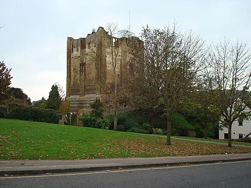 Guildford Castle Historic site, Guildford District9.9 km S
-
Fox Corner Mediumwave Transmitter Landmark, Pirbright6.8 km SW
Nearest towns and villages
-
 Woking City, Woking District0.3 km S
-
Sheerwater Village, Woking District2.3 km NE
-
Old Woking Neighbourhood, Woking District2.5 km SE
-
Pyrford Town, Woking District3.5 km E
Sources & licences
Data last updated: