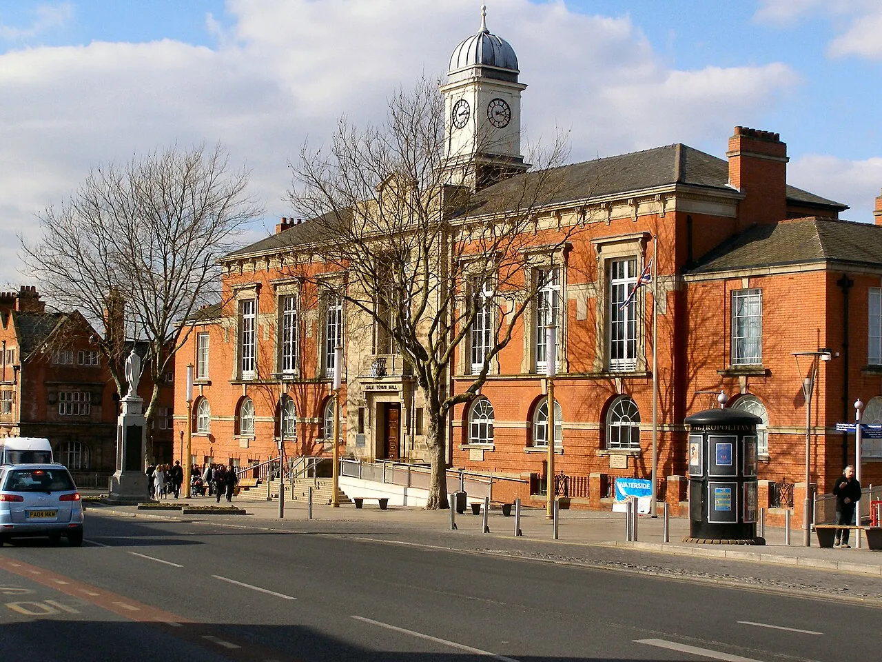
- Population
- 62,550
- 62.6K
- Elevation
- 30 m
- above sea level
- Local time
- UTC+00:00
- Europe/London · UTC+00:00
- Airports
- MAN Manchester Airport9 km
- LPL Liverpool John Lennon Airport36 km
About Sale
Sale is a town. Location: Carrington, Trafford. Population: 62,550. Elevation: 30 m.
Sale is a town in the Metropolitan Borough of Trafford of Greater Manchester, England. It lies on the south bank of the River Mersey, 2 miles (3 km) south of Stretford, 3 miles (5 km) north-east of Altrincham and 5 miles (8 km) south-west of Manchester. Sale lies within the historic county boundaries of Cheshire and became part of Greater Manchester in 1974. At the 2021 census, the Sale built-up area, as defined by the Office for National Statistics, had a population of 62,550.
Source: Wikipedia · CC BY-SA 4.0
Photos of Sale
-

Peter McDermott · CC BY-SA 2.0 -

Des Blenkinsopp · CC BY-SA 2.0 -

Rept0n1x · CC BY-SA 2.0 -

Paul Foster · CC BY-SA 2.0 -

Peter Turner · CC BY-SA 2.0


Travel notes for Sale
From Wikivoyage
Sale is a small town in Greater Manchester, five miles southwest of city centre. It was a market town in Cheshire which became industrial in the 18th century, and in 1974 became part of the Borough of Trafford, along with nearby Altrincham and Stretford. It's nowadays a commuter town for Manchester.
Get in+
By plane:
From Manchester Airport you can take any train to Piccadilly then change, though it's a big station with a long walk between some platforms. But two trains an hour (for Blackpool and for Liverpool) run via Manchester Deansgate on the tram route: the fare is the same but it might save 20 min. You could even take the tram all the way from the airport, a slow journey for not much cheaper.
By tram:
Metrolink trams (green and purple lines) take 25 min from central Manchester via St Peters Square, Deansgate, Old Trafford and Stretford to Sale, continuing via Timperley to Altrincham. Sale is in Fare Zone 3 so a single journey from city centre is £3.80; trams run every 10-15 min 6AM-midnight. The purple line starts from Piccadilly, and the green line starts from Bury and runs via Prestwich and Victoria then through city centre. Change in city centre for the other lines to Sale Water Park, Wythenshawe and the airport, to Imperial War Museum and Trafford Centre (this line opened in 2020), through Piccadilly to Ashton-under-Lyne, through Victoria to Oldham and Rochdale, and to Salford Quays and Eccles. See TGM website for fare deals, service updates and travel planner; you must buy your ticket before boarding.
By car:
Sale stretches along A56, which connects Altrincham to Manchester. From M60 take jcn 6 for the water park and eastern parts such as Barlow Moor, jcn 7 for main drag along A56, and jcn 8 for western parts such as Ashton-upon-Mersey.
By bus:
Bus 263 runs every 15 min from Manchester Piccadilly via Old Trafford and Stretford to Sale (35 min), continuing to Altrincham.
Source: Wikivoyage · CC BY-SA 4.0 · abridged
Places bordering Sale
- Stretford
Climate of Sale
Best months for sightseeingBest months for sightseeing: June–August.
This month · November
A cold month
Day 10° · Night 4° · Rain 86 mm
- Hottest month
- July (day 21°)
- Coldest month
- January (night 2°)
- Wettest month
- October (87 mm)
- Driest month
- April (52 mm)
Bars: average monthly low and high temperature. Below: precipitation. Monthly averages for 1970–2000 at about 18 km resolution, adjusted for elevation. Highlighted months are mild and relatively dry. Source: WorldClim 2.1 (CC BY 4.0).
Show values as a table
| Month | Jan | Feb | Mar | Apr | May | Jun | Jul | Aug | Sep | Oct | Nov | Dec |
|---|---|---|---|---|---|---|---|---|---|---|---|---|
| Average high (°C) | 7° | 8° | 10° | 12° | 16° | 19° | 21° | 21° | 18° | 14° | 10° | 8° |
| Average low (°C) | 2° | 2° | 3° | 5° | 8° | 11° | 13° | 12° | 10° | 7° | 4° | 3° |
| Precipitation (mm) | 76 | 54 | 64 | 52 | 53 | 67 | 60 | 74 | 72 | 87 | 86 | 83 |
How to get to Sale
The nearest airport is Manchester Airport (MAN), 9 km to the south as the crow flies. The nearest large city is Salford, 7 km to the north.
Airports
- Manchester Airport (MAN) Manchester, Greater Manchester 9 kmsouth
- Liverpool John Lennon Airport (LPL) Liverpool 36 kmwest
- Leeds Bradford Airport (LBA) Leeds, West Yorkshire 66 kmnortheast
Nearby large cities
- Salford Population: 129.8K 7 kmnorth
- Manchester Population: 569K 8 kmnortheast
- Stockport Population: 139.1K 11 kmeast
- Warrington Population: 172.3K 17 kmwest
- Oldham Population: 237.1K 19 kmnortheast
Straight-line distances; road distances are longer. Airport data: OurAirports.
Day trips from Sale
Within 100 km: 691 historic and cultural sites, 1,293 natural sites, 198 lakes, rivers and coasts.
0–25 km121 places
- Saint George's Island Island 7 kmNE
- Birch Island Island 12 kmSW
- Bottoms Reservoir Lake 25 kmE
- Whaley Moor Mountain 23 kmSE
25–60 km699 places
- Thurstaston Beach Beach 55 kmW
- Formby Beach Beach 54 kmW
- Ainsdale Beach Beach 53 kmNW
- St Anne's Beach Beach 59 kmNW
60–100 km1,362 places
- Great Britain Island 67 kmN
- Walney Island Island 98 kmNW
- Hilbre Island Island 61 kmW
- Foulney Island Island 88 kmNW
Straight-line distances.
Sale and similar cities
Side by side with cities of similar size in the same country: population, elevation and climate.
| Measure | Sale | Widnes | Newtownabbey | Bury |
|---|---|---|---|---|
| Population | 62.6K | 61.5K | 63.9K | 61K |
| Elevation | 30 m | 13 m | 15 m | 93 m |
| Summer day (hottest month) | 21° | 20° | 20° | 20° |
| Winter night (coldest month) | 2° | 2° | 1° | 2° |
| Annual rainfall | 828 mm | 823 mm | 880 mm | 1,054 mm |
| Best months | Jun–Aug | Jun–Aug | Jun–Aug | Jun–Aug |
| Distance | — | 28 km | 272 km | 20 km |
Climate values are 1970–2000 monthly averages; straight-line distance.
Nearby attractions & nature
Everything nearby-
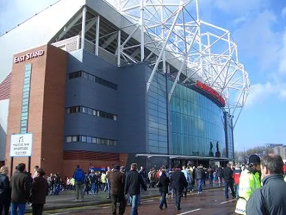 Old Trafford Landmark, Trafford4.8 km NE
-
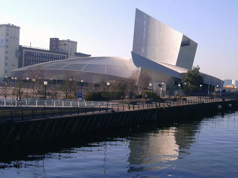 Imperial War Museum North Museum, Trafford5.2 km N
-
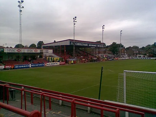 Moss Lane Landmark, Trafford4.7 km S
-
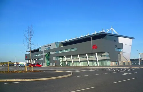 Salford City Stadium Landmark, Salford6 km NW
-
Old Trafford Cricket Ground Landmark, Trafford4.3 km NE
-
River Medlock River, England3.9 km NE
-
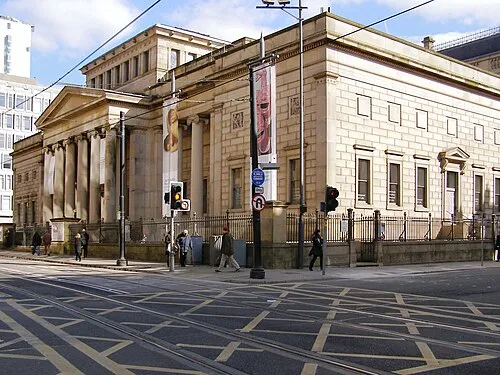 Manchester Art Gallery Museum, Manchester8.1 km NE
-
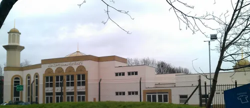 Darul Amaan Mosque Attraction, Manchester7 km NE
Sources & licences
Data last updated: · 2 independent sources