- Elevation
- 132 m
- above sea level
- Local time
- UTC+00:00
- Europe/London · UTC+00:00
- Airports
- NCL Newcastle International Airport73 km
- MME Teesside International Airport83 km
About Vale of Eden
Vale of Eden is a natural site. Location: England, United Kingdom. The best months to visit are June–August. The nearest airport is Newcastle International Airport (73 km). Nearby sights include Highbarn Hill and Maughanby Moor.
Photos of Vale of Eden
-
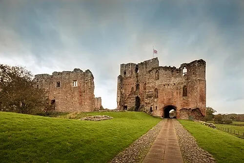
Brougham Castle Michael D Beckwith · CC0

Climate of Vale of Eden
Best months for sightseeingBest months for sightseeing: June–August.
This month · November
A cold month
Day 9° · Night 3° · Rain 99 mm
- Hottest month
- July (day 19°)
- Coldest month
- January (night 1°)
- Wettest month
- December (100 mm)
- Driest month
- April (52 mm)
Bars: average monthly low and high temperature. Below: precipitation. Monthly averages for 1970–2000 at about 18 km resolution, adjusted for elevation. Highlighted months are mild and relatively dry. Source: WorldClim 2.1 (CC BY 4.0).
Show values as a table
| Month | Jan | Feb | Mar | Apr | May | Jun | Jul | Aug | Sep | Oct | Nov | Dec |
|---|---|---|---|---|---|---|---|---|---|---|---|---|
| Average high (°C) | 6° | 6° | 8° | 11° | 14° | 17° | 19° | 19° | 16° | 12° | 9° | 6° |
| Average low (°C) | 1° | 1° | 2° | 3° | 6° | 9° | 11° | 10° | 9° | 6° | 3° | 1° |
| Precipitation (mm) | 99 | 70 | 76 | 52 | 55 | 58 | 65 | 72 | 76 | 92 | 99 | 100 |
How to get to Vale of Eden
The nearest airport is Newcastle International Airport (NCL), 73 km to the northeast as the crow flies. The nearest large city is Newcastle upon Tyne, 74 km to the northeast.
Airports
- Newcastle International Airport (NCL) Newcastle upon Tyne, Tyne and Wear 73 kmnortheast
- Teesside International Airport (MME) Darlington, Durham 83 kmeast
- Leeds Bradford Airport (LBA) Leeds, West Yorkshire 114 kmsoutheast
Nearby large cities
- Newcastle upon Tyne Population: 300.1K 74 kmnortheast
- Sunderland Population: 170.1K 86 kmeast
- Middlesbrough Population: 142.7K 93 kmeast
- Blackpool Population: 145K 101 kmsouth
- Burnley Population: 149.4K 104 kmsouth
Straight-line distances; road distances are longer. Airport data: OurAirports.
Day trips from Vale of Eden
Within 100 km: 791 historic and cultural sites, 2,509 natural sites, 478 lakes, rivers and coasts.
0–25 km287 places
- Wood Howe Island 24 kmSW
- Cherry Holm Island 25 kmSW
- Fishgarth Holm Island 18 kmNW
- Coathouse Island Island 21 kmNW
25–60 km1,555 places
- Tuft Rock Island 40 kmSW
- Kirkland Scar Island 43 kmNW
- Peel Island Island 50 kmSW
- Seamew Crag Island 38 kmSW
60–100 km1,936 places
- Great Britain Island 89 kmSE
- High Moor Mountain 62 kmSW
- Roanhead Beach Beach 71 kmSW
- St. Bees Beach Seafront Beach 65 kmW
Straight-line distances.
Nearest towns and villages
-
Langwathby Village, Langwathby0.4 km S
-
Langwathby Village, Westmorland and Furness1.8 km S
-
Hunsonby Village, Westmorland and Furness2.1 km N
-
Winskill Village, Hunsonby1.2 km NE
-
Hunsonby Village, Hunsonby1.7 km NE
-
Great Salkeld Village, Westmorland and Furness3.6 km NW
Nearby attractions & nature
Everything nearby-
Highbarn Hill Mountain, Langwathby3.4 km S
-
Maughanby Moor Mountain, Glassonby4.5 km N
-
Edenhall Landmark, Langwathby1.9 km S
-
Salkeld Hall Landmark, Hunsonby2.1 km N
-
River Eamont River, England4.9 km SE
-
Beacon Hill Mountain, Westmorland and Furness5.7 km SW
-
Wan Fell Mountain, Westmorland and Furness5.8 km W
-
Brown Rigg Mountain, Lazonby6.5 km NW
More nature in United Kingdom
-
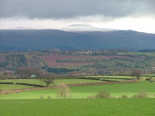 Cross Fell Mountain, Culgaith12 km E
-
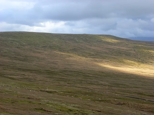 Black Fell Mountain, Alston Moor13 km NE
-
Quarrystone Bank Mountain, Brougham6.6 km S
-
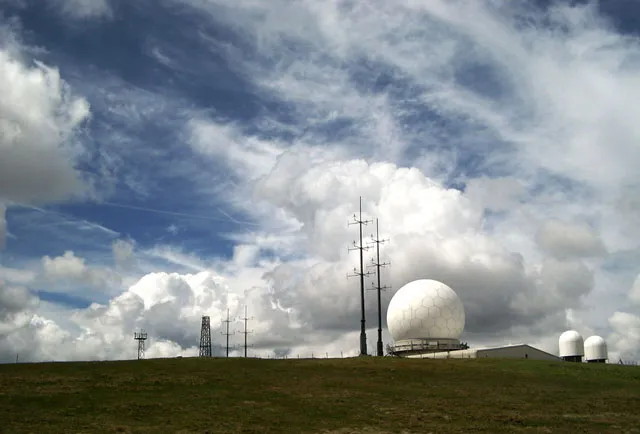 Great Dun Fell Mountain, Milburn14 km E
-
Lazonby Fell Mountain, Lazonby6.8 km NW
-
Catterpallot Hill Mountain, Ousby7.1 km E
Sources & licences
Data last updated: