Daventry District
Located in West Northamptonshire, England Coordinates: 52°18′36″ N 1°02′01″ W
- Population
- 81,316
- 81.3K
- Elevation
- 156 m
- above sea level
- Local time
- UTC+00:00
- Europe/London · UTC+00:00
- Places inside
- 74
- listed under Daventry District
- Airports
- BHX Birmingham Airport51 km
- EMA East Midlands Airport61 km
About Daventry District
Daventry District is a municipality. Location: West Northamptonshire, England. Population: 81,316. Elevation: 156 m. The best months to visit are June–August. The nearest airport is Birmingham Airport (51 km). Nearby sights include Northampton Castle and Kings Heath Mediumwave Transmitter.
Climate of Daventry District
Best months for sightseeingBest months for sightseeing: June–August.
This month · November
A cold month
Day 9° · Night 3° · Rain 59 mm
- Hottest month
- July (day 21°)
- Coldest month
- February (night 0°)
- Wettest month
- December (61 mm)
- Driest month
- February (42 mm)
Bars: average monthly low and high temperature. Below: precipitation. Monthly averages for 1970–2000 at about 18 km resolution, adjusted for elevation. Highlighted months are mild and relatively dry. Source: WorldClim 2.1 (CC BY 4.0).
Show values as a table
| Month | Jan | Feb | Mar | Apr | May | Jun | Jul | Aug | Sep | Oct | Nov | Dec |
|---|---|---|---|---|---|---|---|---|---|---|---|---|
| Average high (°C) | 6° | 7° | 9° | 12° | 16° | 19° | 21° | 21° | 18° | 14° | 9° | 7° |
| Average low (°C) | 1° | 0° | 2° | 3° | 6° | 9° | 11° | 11° | 9° | 6° | 3° | 2° |
| Precipitation (mm) | 59 | 42 | 51 | 47 | 51 | 56 | 50 | 59 | 58 | 57 | 59 | 61 |
How to get to Daventry District
The nearest airport is Birmingham Airport (BHX), 51 km to the west as the crow flies. The nearest large city is Northampton, 12 km to the southeast.
Airports
- Birmingham Airport (BHX) Birmingham, West Midlands 51 kmwest
- East Midlands Airport (EMA) Nottingham, Leicestershire 61 kmnorth
- London Luton Airport (LTN) Luton, Luton 67 kmsoutheast
Nearby large cities
- Northampton Population: 245.9K 12 kmsoutheast
- Coventry Population: 345.3K 34 kmwest
- Milton Keynes Population: 256.4K 35 kmsoutheast
- Leicester Population: 368.6K 37 kmnorth
- Bedford Population: 106.9K 43 kmsoutheast
Straight-line distances; road distances are longer. Airport data: OurAirports.
Places in Daventry District
74 placesCities & villages60
- Althorp · Village
- Arthingworth · Village
- Ashby St. Ledgers · Village
- Badby · Village
- Barby · Village
- Boughton · Village
- Braunston · Village
- Brington · Village
- Brixworth · Village
- Brockhall · Village
- Byfield · Village
- Canons Ashby · Village
- Catesby · Village
- Charwelton · Village
- Church with Chapel Brampton · Village
- Clay Coton · Village
- Clipston · Village
- Cold Ashby · Village
- Cottesbrooke · Village
- Creaton · Village
- Crick · Village
- Daventry · Village
- Dodford · Village
- Draughton · Village
- East Farndon · Village
- East Haddon · Village
- Elkington · Village
- Everdon · Village
- Farthingstone · Village
- Fawsley · Village
- Flore · Village
- Great Oxendon · Village
- Guilsborough · Village
- Hannington · Village
- Harlestone · Village
- Haselbech · Village
- Hellidon · Village
- Holcot · Village
- Holdenby · Village
- Hollowell · Village
- Kelmarsh · Village
- Kilsby · Village
- Lamport · Village
- Lilbourne · Village
- Long Buckby · Village
- Maidwell · Village
- Marston Trussell · Village
- Moulton · Village
- Naseby · Village
- Newnham · Village
- Norton · Village
- Old · Village
- Overstone · Village
- Pitsford · Village
- Preston Capes · Village
- Ravensthorpe · Village
- Scaldwell · Village
- Sibbertoft · Village
- Spratton · Village
- Stanford · Village
Nearby attractions & nature
Everything nearby-
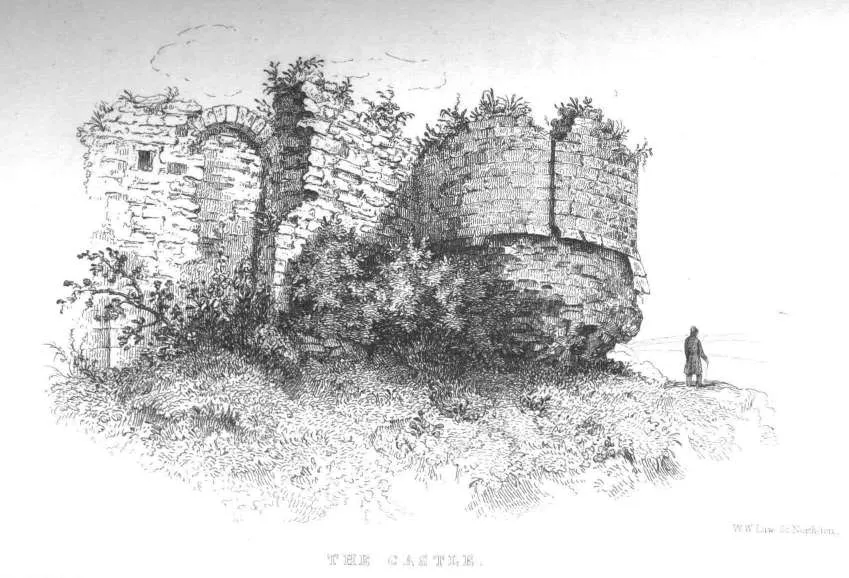 Northampton Castle Historic site, Northampton12 km SE
-
Kings Heath Mediumwave Transmitter Landmark, Northampton9.5 km SE
-
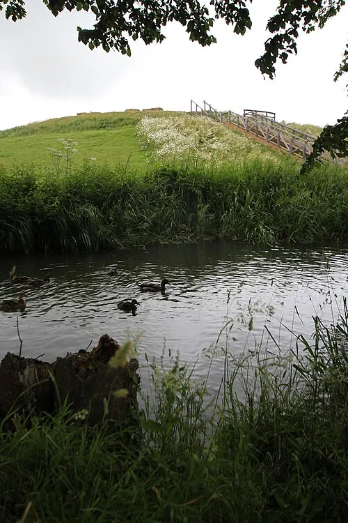 Bury Mount Historic site, Towcester20 km S
-
Sixfields Stadium, Northampton Town Landmark, Northampton11 km SE
-
Franklin's Gardens, Northampton Saints Landmark, Northampton11 km SE
-
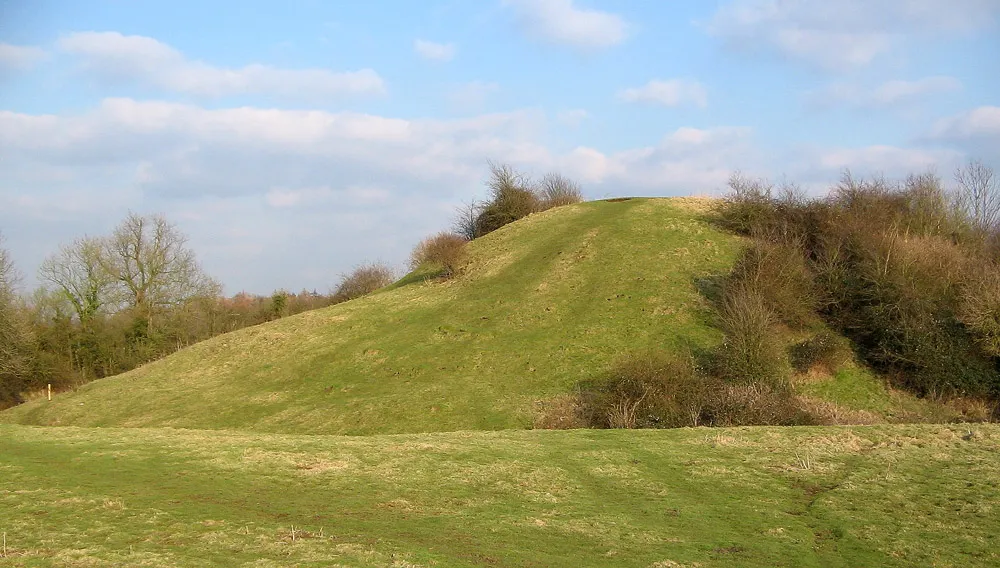 Brinklow Castle Historic site, Brinklow25 km NW
-
VLF transmitter Rugby, Mast 7 Historic site, Clifton upon Dunsmore11 km NW
-
VLF transmitter Rugby, Mast 8 Historic site, Clifton upon Dunsmore11 km NW
Sources & licences
Data last updated: